- Drieňok
-
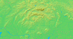
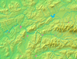
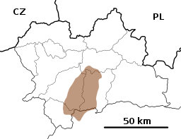
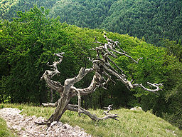
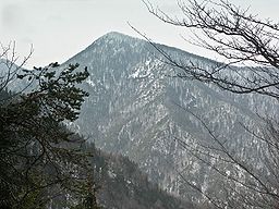
Drieňok Mountain Country Slovakia Region Žilina District Turčianske Teplice Range Greater Fatra Elevation 1,268 m (4,160 ft) Coordinates 48°53′25″N 18°57′42″E / 48.89024°N 18.96166°E Geology limestone, dolomite Drieňok is a mountain in the Greater Fatra Range of Slovakia measuring 1,268 m (4,160 ft). The typical pyramidal shape of the mountain, which lies on the edge of the range, steeply rises over the Turiec valley and is easily recognizable from any direction. Under the summit there is an emblematic dead and dry tree.
Gallery
References
- Brandos, Otakar (2004). Veľká Fatra, Šípska Fatra. Ostrava: SKY. ISBN 80-86774-02-3.
- VKÚ Harmanec (2003). Veľká Fatra. Edícia turistických máp 1:50000. Harmanec: VKÚ. ISBN 80-8042-044-0.
Categories:- Žilina Region geography stubs
- Veľká Fatra
- Mountains of Slovakia
- Mountains of the Western Carpathians
Wikimedia Foundation. 2010.


