- Inver
Infobox Irish Place
name = Inver
gaeilge = Inbhear
scots =
crest
motto =
map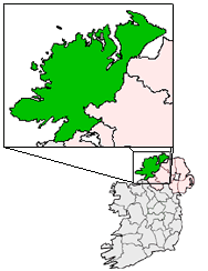
pin coords = left: 44px; top: 100px
north coord = 54.66
west coord = 8.299
irish grid =
area =
elevation =
province =Ulster
county =County Donegal
population =
county pop =
web =Inver (Irish place name|Inbhear) is a
village inCounty Donegal , Ireland. It lies on the N56National secondary road mid way betweenKillybegs to the west andDonegal Town to the east.Inver Grove Heights, Minnesota may be named after Inver. [Cite web
url=http://www.ci.inver-grove-heights.mn.us/index.asp?nid=195
title=About us
publisher=City ofInver Grove Heights, Minnesota
accessdate=2008-09-15
quote=From 1858 until 1880, hundreds of settlers were attracted to the township that was named after an Irish fishing village, "Inver" and commemorating the homeland of the German settlers, "Grove."]Transport
*Inver railway station opened on
18 August 1893 and finally closed on1 January 1960 . [cite web | title=Inver station | work=Railscot - Irish Railways | url=http://www.railscot.co.uk/Ireland/Irish_railways.pdf | accessdate=2007-10-16]ee also
* List of towns and villages in Ireland
*Aber and Inver as place-name elements References
Wikimedia Foundation. 2010.