- Interstate 86 (west)
Infobox road
state=ID
type=I
route=86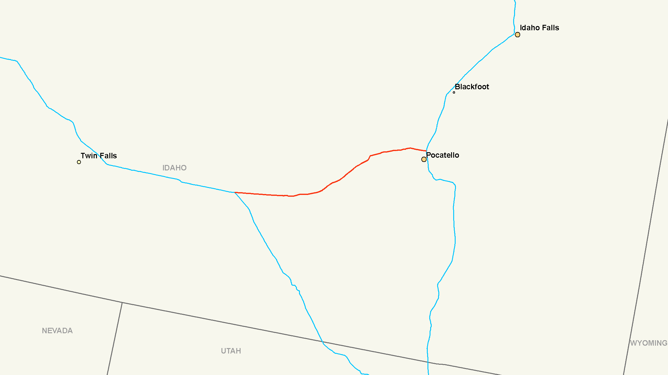
maint=ITD
length_mi=62.850
length_round=3
length_ref=
established=
direction_a=West
terminus_a=jct|state=ID|I|84|US|30 near Declo
junction=
direction_b=East
terminus_b=jct|state=ID|I|15 in Pocatello
previous_type=I
previous_route=84
next_type=SH
next_route=87
commons=categoryInterstate 86 (I-86) is an intrastate
Interstate Highway , located entirely within the state ofIdaho . It runs 63 miles (101.4 kilometers) from an intersection with Interstate 84 located approximately 7 miles (11.3 kilometers) east of Declo in rural Cassia County, to an intersection with Interstate 15 at Pocatello. Interstate 86 connects the major eastern Idaho cities of Pocatello and Idaho Falls with the state'sMagic Valley region.Interstate 86 was originally numbered as Interstate 15W in the
1970s Interstate Systems Route Log and Finder List, FHWA, March 1978] howeverAASHTO decided it was better to have duplicate numbers in different parts of the country instead of having suffixes. (See alsoInterstate 86 (east) .) There was also anInterstate 15E inCalifornia at the time.Besides being somewhat short, the area Interstate 86 passes through is very desolate. Pocatello and American Falls are the only incorporated settlements located on the highway. Between American Falls and Pocatello I-86 passes through a portion of
Fort Hall Indian Reservation .Route description
Exit list
References
External links
* [http://www.interstate80.info/idaho_index.html Idaho Highway Index Page] (photos of I-86)
Wikimedia Foundation. 2010.