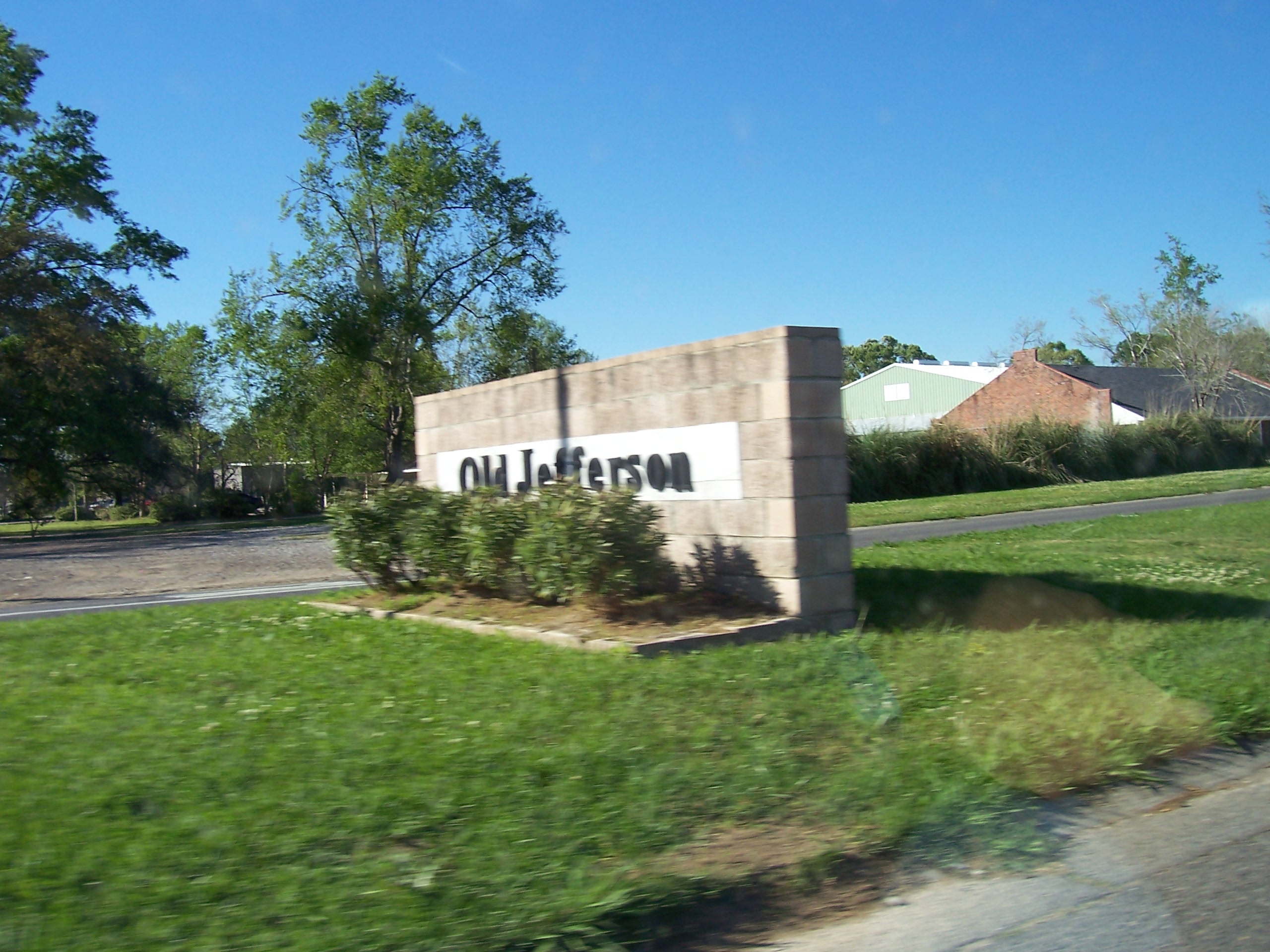
- Old Jefferson, Louisiana
-
Old Jefferson Census-designated place 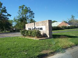
Country United States State Louisiana Parish East Baton Rouge Elevation 30 ft (9.1 m) Coordinates 30°22′53″N 91°00′37″W / 30.38139°N 91.01028°W Area 3.5 sq mi (9.1 km2) - land 3.5 sq mi (9 km2) - water 0.0 sq mi (0 km2), 0% Population 5,631 (2000) Density 1,594.7 / sq mi (615.7 / km2) Timezone CST (UTC-6) - summer (DST) CDT (UTC-5) Area code 225 
 Location of Old Jefferson in Louisiana
 Location of Louisiana in the United States
Old Jefferson is a census-designated place (CDP) in East Baton Rouge Parish, Louisiana, USA. The population was 5,631 at the 2000 census. It is part of the Baton Rouge Metropolitan Statistical Area.
Contents
Geography
Old Jefferson is located at 30°22′53″N 91°0′37″W / 30.38139°N 91.01028°W (30.381292, -91.010376)[1].
According to the United States Census Bureau, the CDP has a total area of 3.5 square miles (9.1 km²), all of it land.
Demographics
Historical populations Census Pop. %± 1990 4,531 — 2000 5,631 24.3% source:[2] As of the census[3] of 2000, there were 5,631 people, 2,044 households, and 1,582 families residing in the CDP. The population density was 1,594.7 people per square mile (615.9/km²). There were 2,110 housing units at an average density of 597.6 per square mile (230.8/km²). The racial makeup of the CDP was 90.37% White, 5.68% African American, 0.39% Native American, 1.90% Asian, 0.07% Pacific Islander, 0.44% from other races, and 1.14% from two or more races. Hispanic or Latino of any race were 1.56% of the population.
There were 2,044 households out of which 45.5% had children under the age of 18 living with them, 62.9% were married couples living together, 10.4% had a female householder with no husband present, and 22.6% were non-families. 17.9% of all households were made up of individuals and 3.1% had someone living alone who was 65 years of age or older. The average household size was 2.75 and the average family size was 3.15.
In the CDP the population was spread out with 29.4% under the age of 18, 8.1% from 18 to 24, 36.8% from 25 to 44, 21.0% from 45 to 64, and 4.6% who were 65 years of age or older. The median age was 32 years. For every 100 females there were 98.4 males. For every 100 females age 18 and over, there were 93.8 males.
The median income for a household in the CDP was $52,220, and the median income for a family was $59,778. Males had a median income of $41,164 versus $27,044 for females. The per capita income for the CDP was $21,410. About 2.3% of families and 3.7% of the population were below the poverty line, including 4.8% of those under age 18 and none of those age 65 or over.
Education
Old Jefferson is served by East Baton Rouge Parish Public Schools.
Zoned schools include:
- Jefferson Terrace Elementary School
- Woodlawn Middle School
- Woodlawn High School
The district provides transportation to the following private Catholic schools:
- Most Blessed Sacrament School (PK-8)
- St. Michael the Archangel High School (9-12)
References
- ^ "US Gazetteer files: 2010, 2000, and 1990". United States Census Bureau. 2011-02-12. http://www.census.gov/geo/www/gazetteer/gazette.html. Retrieved 2011-04-23.
- ^ "CENSUS OF POPULATION AND HOUSING (1790-2000)". U.S. Census Bureau. http://www.census.gov/prod/www/abs/decennial/index.html. Retrieved 2010-07-17.
- ^ "American FactFinder". United States Census Bureau. http://factfinder.census.gov. Retrieved 2008-01-31.
Municipalities and communities of East Baton Rouge Parish, Louisiana Cities Baker | Baton Rouge | Central City | Zachary

CDPs Brownfields | Gardere | Inniswold | Merrydale | Monticello | Oak Hills Place | Old Jefferson | Shenandoah | Village St. George | Westminster
Unincorporated
communitiesAlsen | Baywood | Baywood | Fred | Greenwell Springs | Plains | Port Hudson | Pride
Categories:- Census-designated places in Louisiana
- Populated places in East Baton Rouge Parish, Louisiana
- Baton Rouge metropolitan area


Wikimedia Foundation. 2010.