- Columbia, Louisiana
-
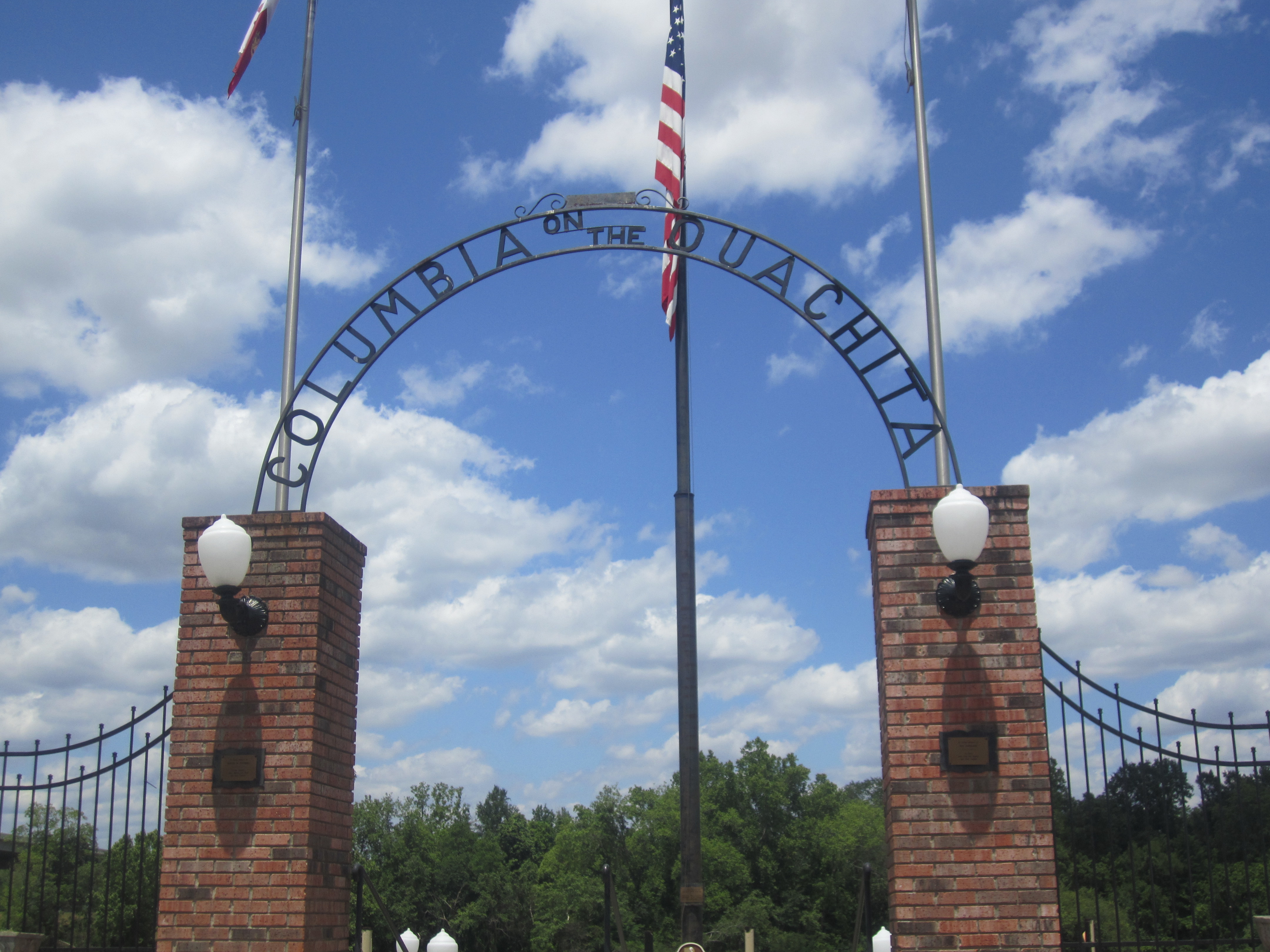
Town of Columbia Town  Gateway to Ouachita River at Columbia, Louisiana
Nickname: Columbia on the Ouachita Country United States State Louisiana Parish Caldwell Elevation 75 ft (22.9 m) Coordinates 32°06′15″N 92°04′37″W / 32.10417°N 92.07694°W Area 0.8 sq mi (2.1 km2) - land 0.8 sq mi (2 km2) - water 0.0 sq mi (0 km2), 0% Population 500 (2008) Density 629.9 / sq mi (243.2 / km2) Founded 1827 Timezone CST (UTC-6) - summer (DST) CDT (UTC-5) Area code 318 
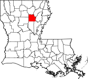
 Location of Columbia in Louisiana
 Location of Louisiana in the United States
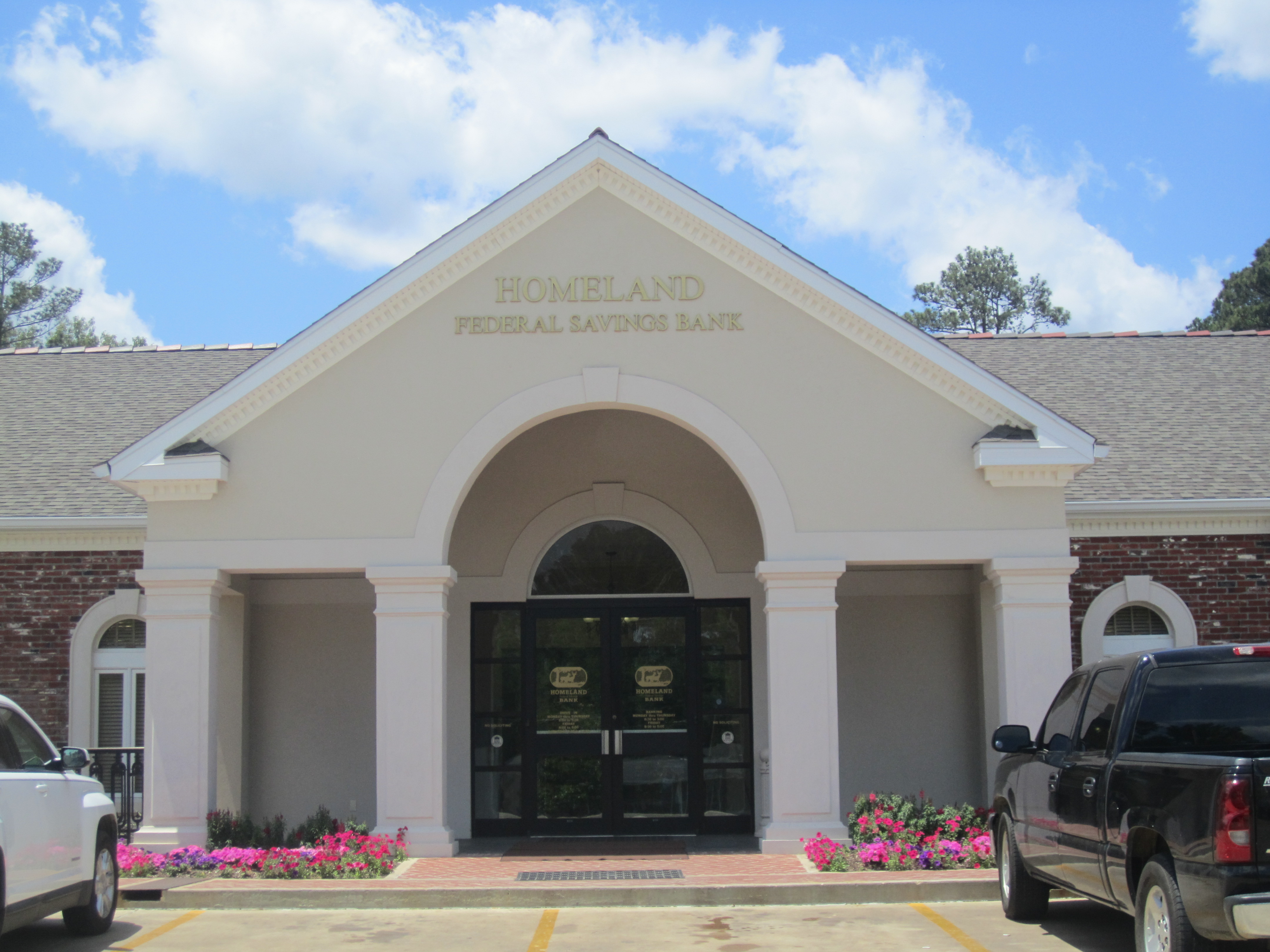
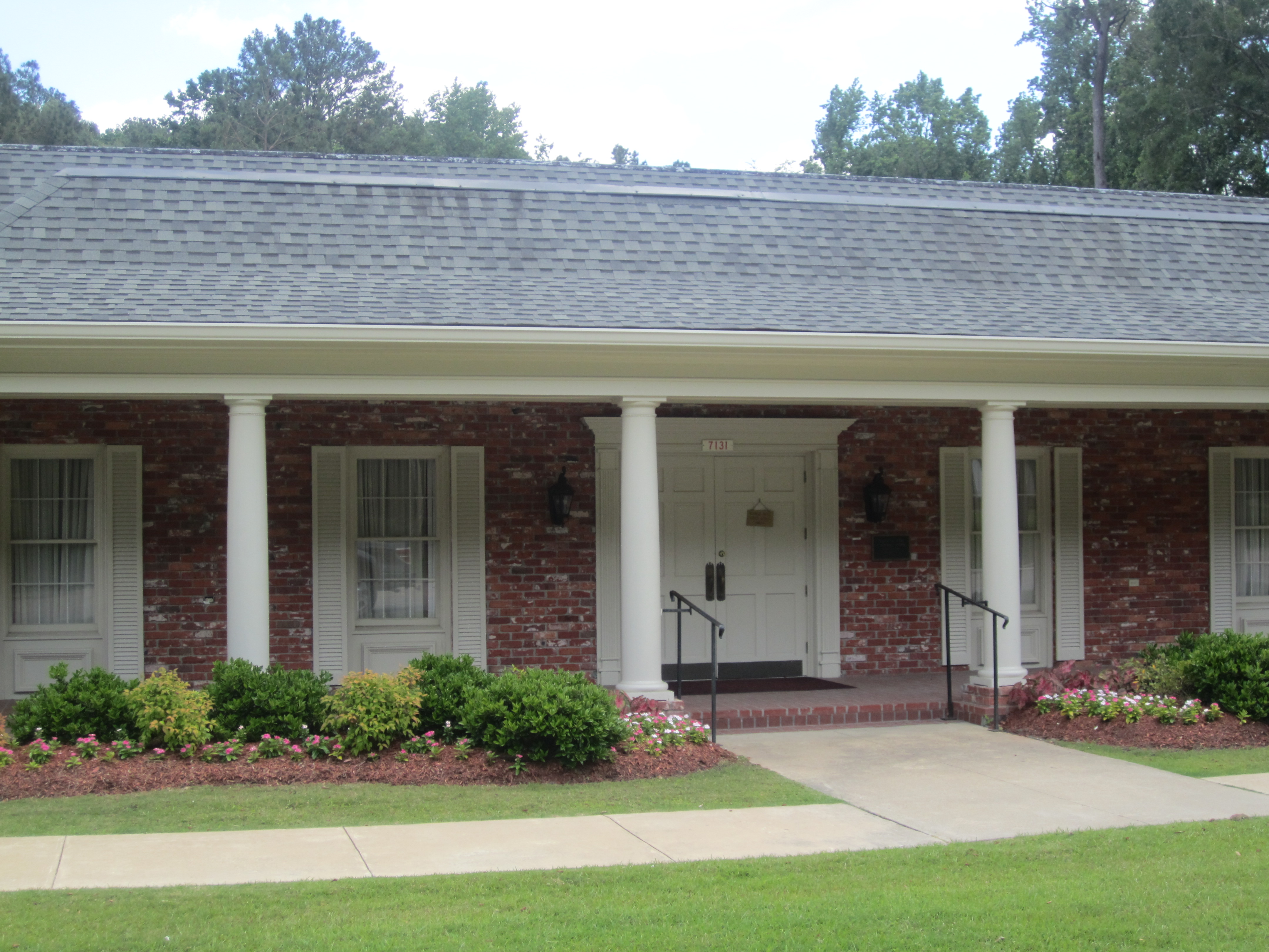
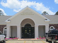 Homeland Federal Savings Bank is located off U.S. Highway 165 in Columbia.
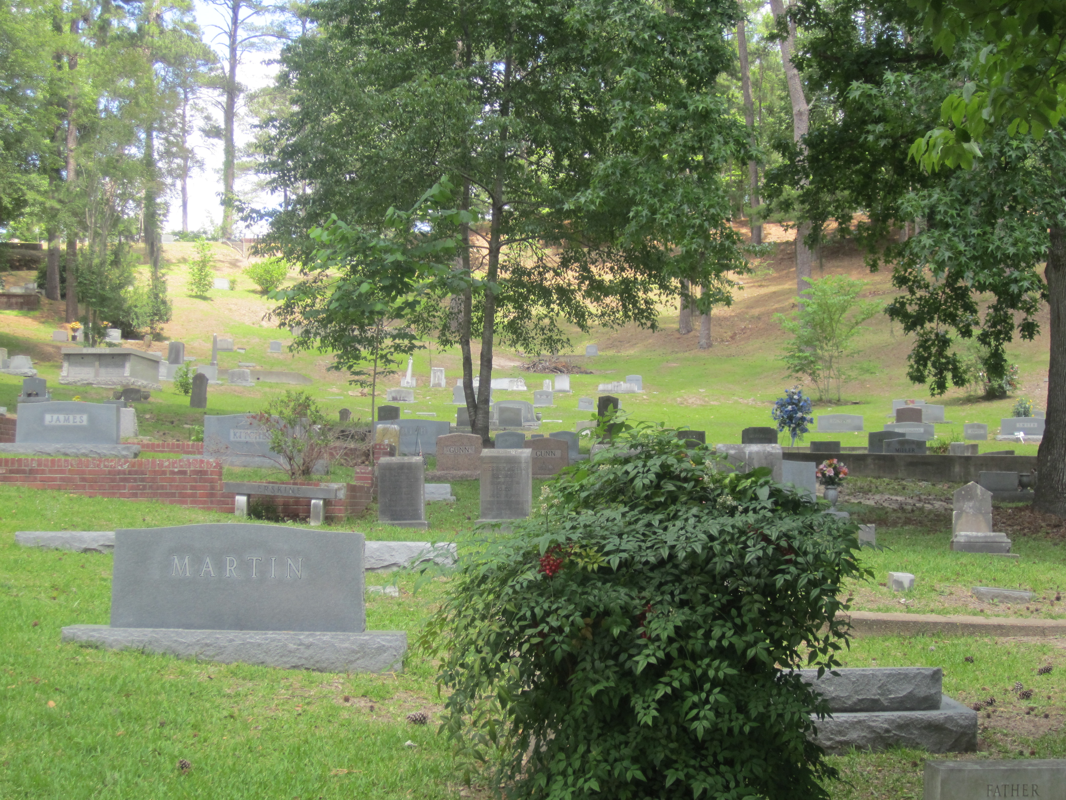
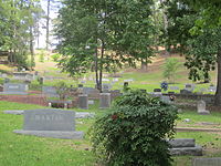 A portion of the hillside graves at the large but dispersed Columbia Hill Cemetery in Columbia. The cemetery was launched just prior to the American Civil War during a yellow fever epidemic.
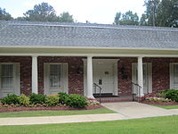
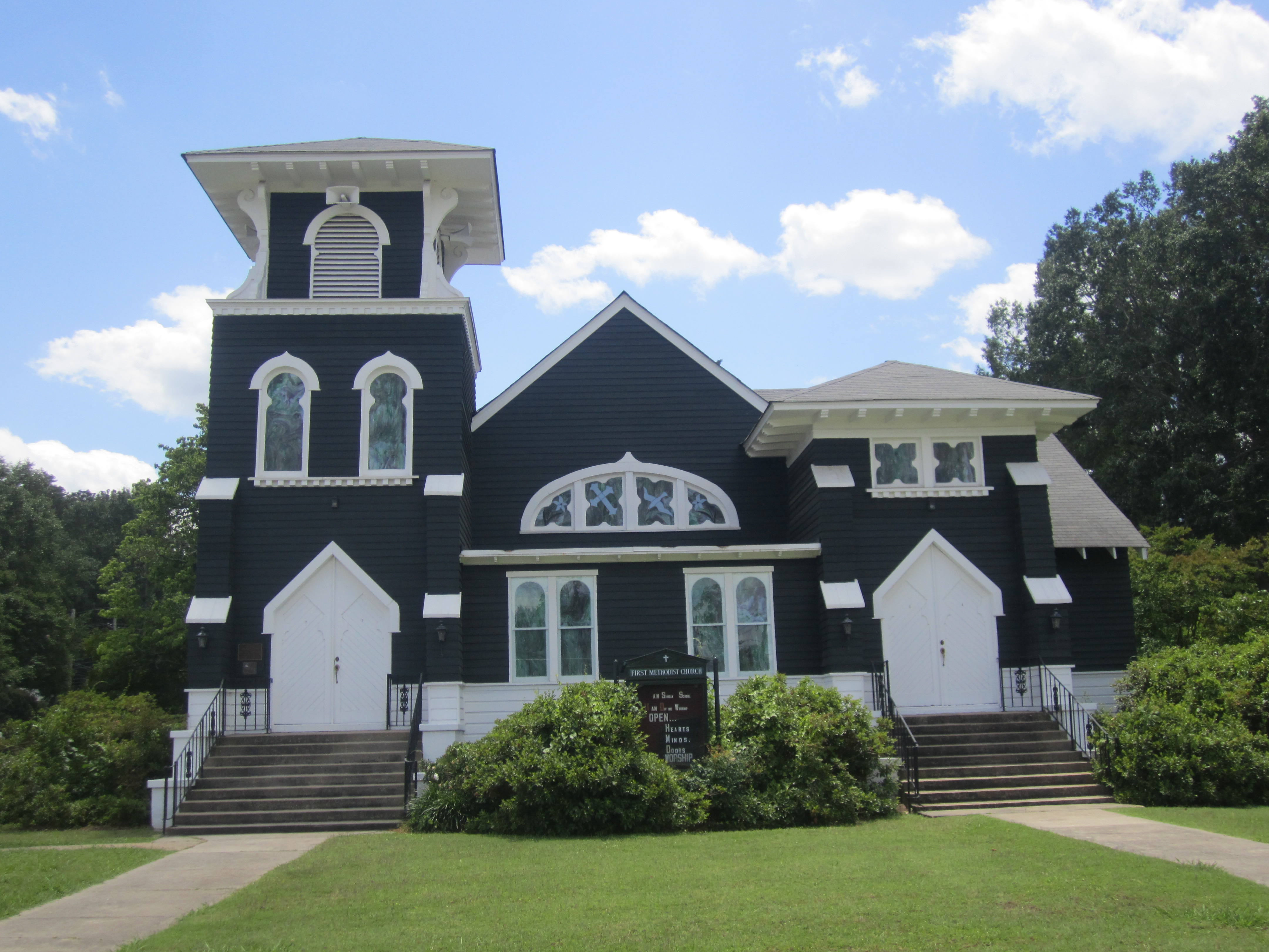
 At this site First United Methodist Church in Columbia dates to 1840. The current building was constructed in 1911. Previously, circuit riders served Caldwell Parish.
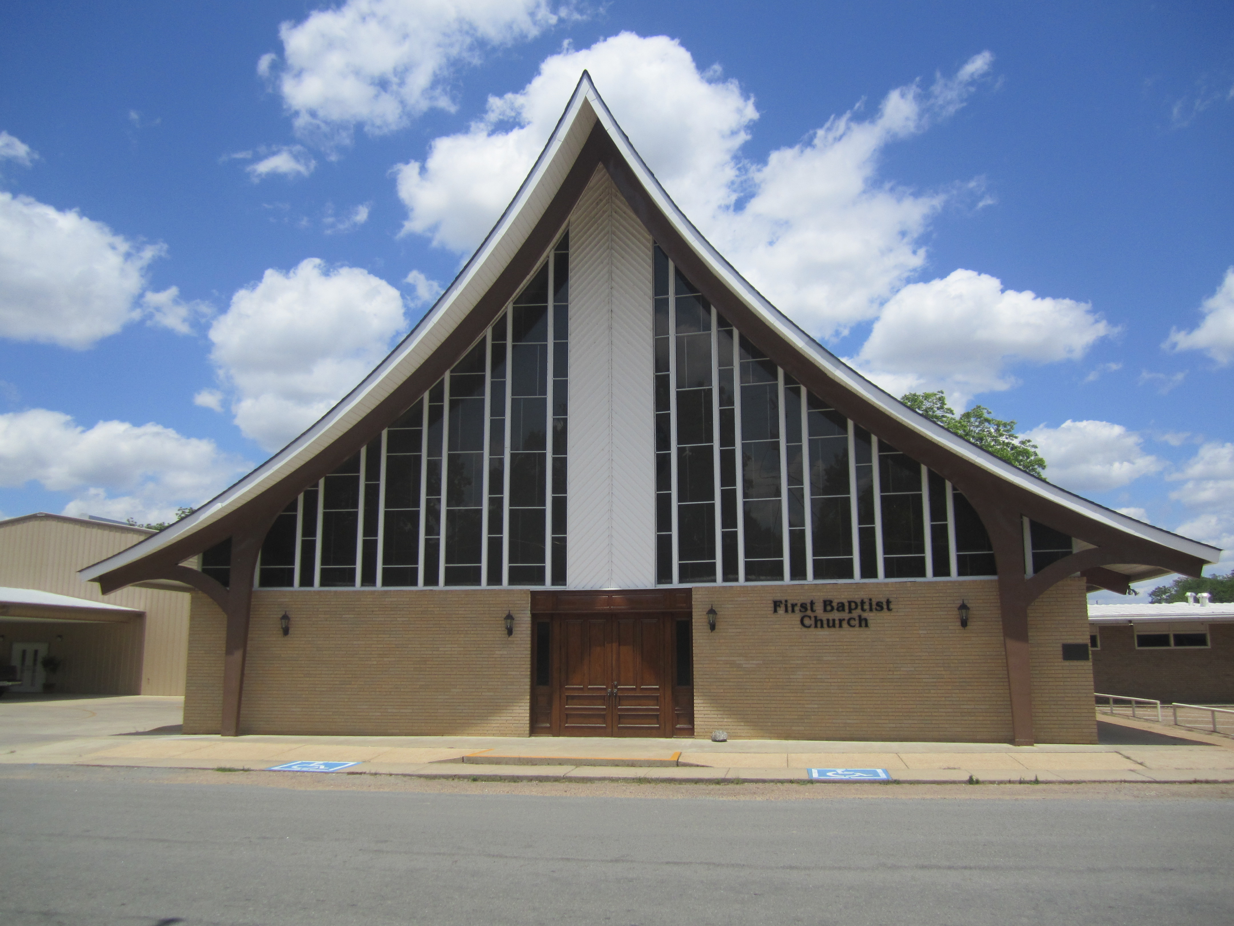
 First Baptist Church in Columbia
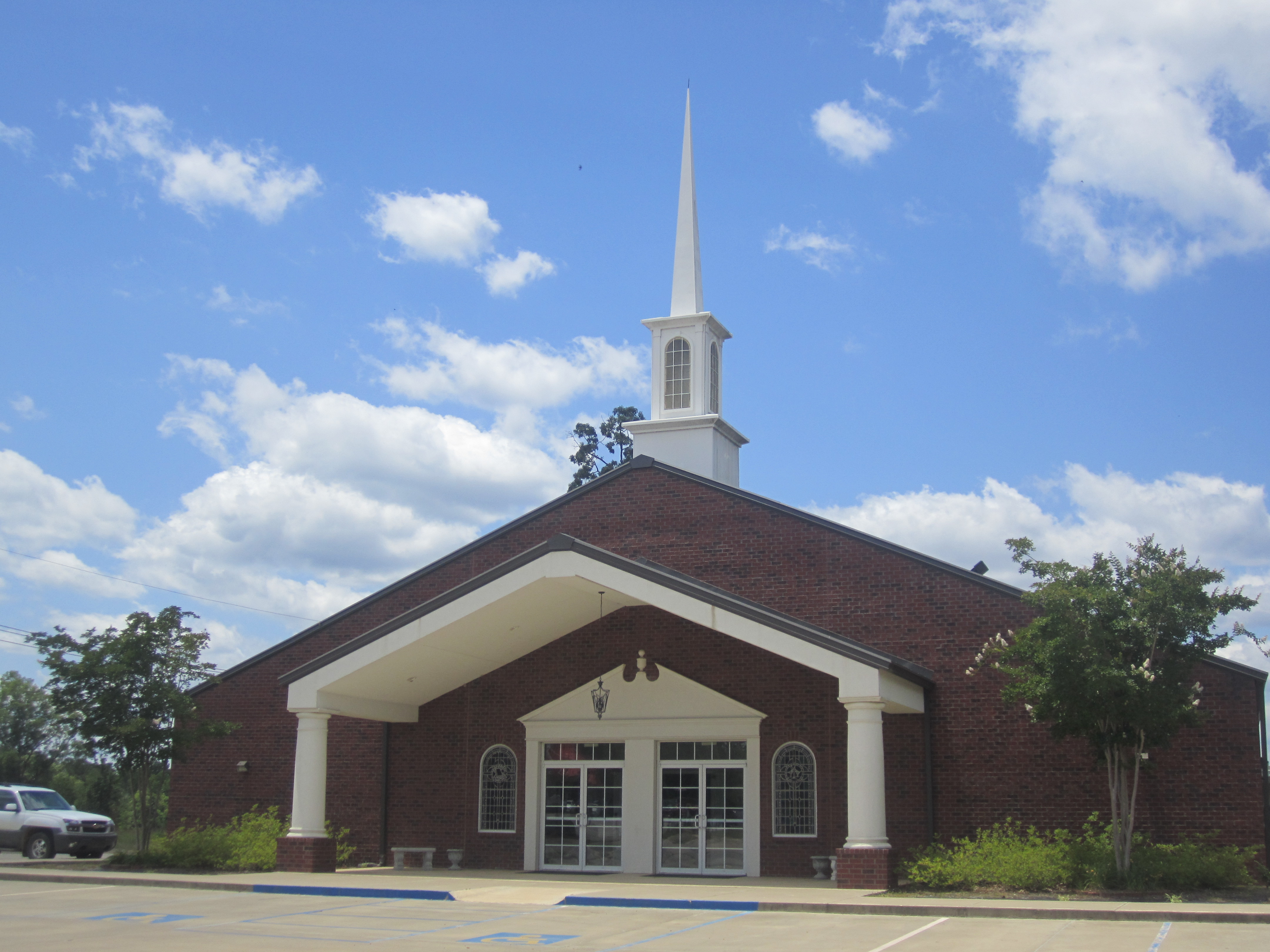
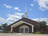 Columbia Heights Baptist Church off Highway 165 calls itself "The Lighthouse on the Hill"; pastor James Prince (2011).
Columbia is a town in and the parish seat of Caldwell Parish, Louisiana, United States.[1] The population was 477 at the 2000 census.Contents
Geography
Columbia is located at 32°6′15″N 92°4′37″W / 32.10417°N 92.07694°W (32.104042, -92.076921)[2].
According to the United States Census Bureau, the town has a total area of 0.8 square miles (2.1 km2), of which, 0.8 square miles (2.1 km2) of it is land and 1.30% is water.
Demographics
As of the census[3] of 2000, there were 477 people, 184 households, and 101 families residing in the town. The population density was 629.9 people per square mile (242.3/km²). There were 237 housing units at an average density of 312.9 per square mile (120.4/km²). The racial makeup of the town was 70.02% White, 27.25% African American, 0.63% Native American, 1.47% Asian, 0.42% from other races, and 0.21% from two or more races. Hispanic or Latino of any race were 0.42% of the population.
There were 184 households out of which 21.7% had children under the age of 18 living with them, 40.8% were married couples living together, 12.0% had a female householder with no husband present, and 44.6% were non-families. 41.3% of all households were made up of individuals and 20.1% had someone living alone who was 65 years of age or older. The average household size was 2.23 and the average family size was 3.08.
In the town the population was spread out with 22.2% under the age of 18, 8.4% from 18 to 24, 26.6% from 25 to 44, 24.5% from 45 to 64, and 18.2% who were 65 years of age or older. The median age was 41 years. For every 100 females there were 103.8 males. For every 100 females age 18 and over, there were 106.1 males.
The median income for a household in the town was $30,000, and the median income for a family was $33,523. Males had a median income of $33,000 versus $18,000 for females. The per capita income for the town was $13,999. About 19.0% of families and 25.9% of the population were below the poverty line, including 32.0% of those under age 18 and 32.0% of those age 65 or over.
Government and infastructure
It has a volunteer fire department[citation needed]
Arts and culture
- Noe Corp Tower, a 604.7 meter high guyed mast.
Notable natives and residents
- Buddy Caldwell, Attorney General of Louisiana, elected in 2007
- Graves B. Erskine, U.S. Marine Corps general; combat officer in World War I, having received the Silver Star and Purple Heart; U.S. Commander of the 3rd Marine Division in World War II in the Battle of Iwo Jima, having earned the Distinguished Service Medal
- J.D. DeBlieux, Louisiana State Senator representing East Baton Rouge Parish, 1956-1960 & 1964-1976
- Jack Keahey, former president of the Caldwell Parish School Board and the Louisiana School Boards Association; national president of Aerial Applicators Association, and former president of the Tensas Basin Levee Board
- Pam Kelly, recipient of the Wade Trophy, the most valuable women's collegiate basketball player in the nation
- John J. McKeithen, governor of Louisiana (1964–1972); Louisiana Public Service Commissioner (1955–1964); state representative (1948–1952); U.S. Army combat officer (1942–1945) having received two Bronze Stars in the battles of Okinawa and Iwo Jima
- W. Fox McKeithen, Louisiana House of Representatives, 1984–1988; five-term Louisiana Secretary of State, 1988–2005
- Neil Riser, state senator elected in 2007 from the 32nd District, which includes Caldwell Parish; the first Republican from this district since Reconstruction
- Chet D. Traylor, Louisiana Supreme Court, 1997–2009
External links
- Columbia Progress Community Progress Site for Columbia, LA
Municipalities and communities of Caldwell Parish, Louisiana Parish seat: ColumbiaTown Columbia
Villages Unincorporated
communityReferences
- ^ "Find a County". National Association of Counties. http://www.naco.org/Counties/Pages/FindACounty.aspx. Retrieved 2011-06-07.
- ^ "US Gazetteer files: 2010, 2000, and 1990". United States Census Bureau. 2011-02-12. http://www.census.gov/geo/www/gazetteer/gazette.html. Retrieved 2011-04-23.
- ^ "American FactFinder". United States Census Bureau. http://factfinder.census.gov. Retrieved 2008-01-31.
Categories:- Populated places in Caldwell Parish, Louisiana
- Towns in Louisiana
- Parish seats in Louisiana


Wikimedia Foundation. 2010.