- Changaramkulam
-
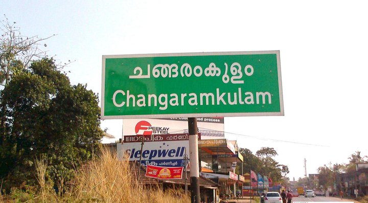
Changaramkulam — town — 
Coordinates 10°44′0″N 76°1′0″E / 10.733333°N 76.016667°ECoordinates: 10°44′0″N 76°1′0″E / 10.733333°N 76.016667°E Country India State Kerala District(s) Malappuram Nearest city Kunnamkulam Parliamentary constituency Ponnani Time zone IST (UTC+05:30) Changaramkulam is a small town in Ponnani taluk of Malappuram district. It falls on, and hence is shared across two panchayats- Nannammukku and Alamcode.
Categories:- Villages in Malappuram district
- Malappuram district geography stubs


Wikimedia Foundation. 2010.