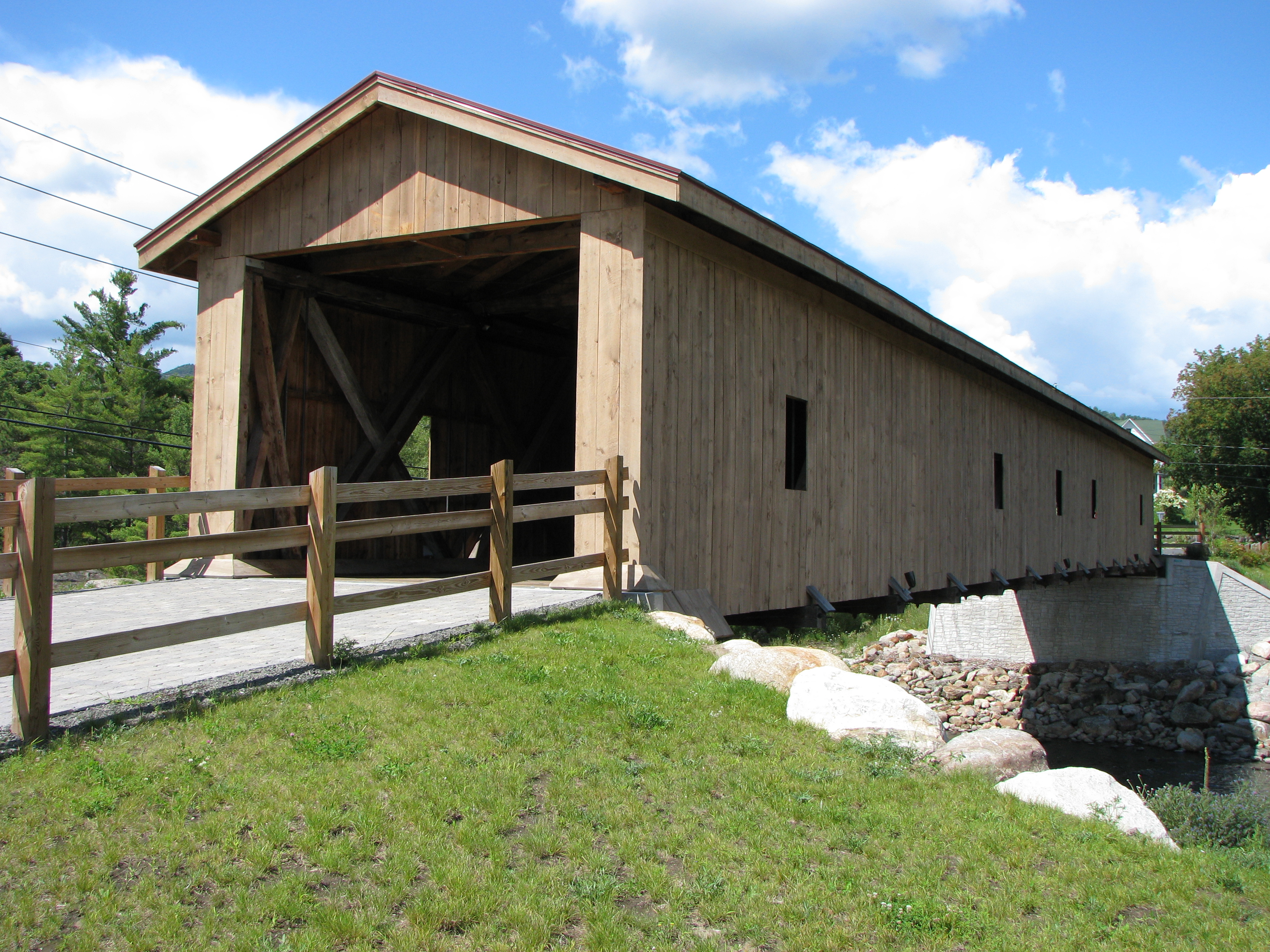
- Jay Bridge
Infobox Bridge
bridge_name = Jay Bridge
caption =
official_name =
carries =
crosses = Ausable River
locale =
maint =
id =
design =
mainspan =
length =
width =
height =
load =
clearance =
below =
traffic =
begin =
complete = 1857
open =
closed =
toll =
map_cue =
map_
map_text =
map_width =
coordinates =
lat =
long =Jay Bridge is a
covered bridge that spans the east branch of the Ausable River in Jay, inEssex County, New York , USA. It is eligible to be listed in theNational Register of Historic Places . It the only one of the 29 covered bridges in New York State that is in theAdirondacks .History
The first bridge in this location was destroyed by flooding in 1856. The bridge was rebuilt in 1857 using a
Howe truss design.In 1953, a heavy truck fell through the floor of the bridge; repair required the replacement of eighty feet of the damaged end of the bridge. In 1997, traffic was rerouted to a new steel bridge just downstream of the original, which has since been carefully restored.
External links
* [http://members.localnet.com/~jligon/Alpine/Jay/ The Rebirth of a Covered Bridge (Jay Bridge)]
* [http://www.nycoveredbridges.org/page16.html Jay Bridge, at New York State Covered Bridge Society]
* [http://www.coveredbridgesite.com/ny/jay.html Jay Bridge, at Covered Bridges of the Northeast USA]
* [http://hdl.loc.gov/loc.pnp/hhh.ny1554 Jay Covered Bridge: 7 photos, 2 drawings and 6 data pages] , atHistoric American Building Survey
Wikimedia Foundation. 2010.
