- Stacyville, Iowa
Infobox Settlement
official_name = Stacyville, Iowa
settlement_type =City
nickname =
motto =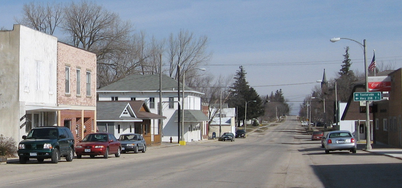
imagesize =
image_caption = Downtown Stacyville, Iowa.
image_
image_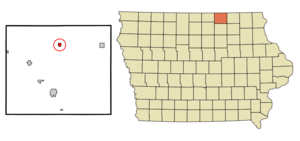
mapsize = 250px
map_caption = Location of Stacyville, Iowa
mapsize1 =
map_caption1 =subdivision_type = Country
subdivision_name =
subdivision_type1 = State
subdivision_name1 =
subdivision_type2 = County
subdivision_name2 = Mitchell
government_footnotes =
government_type =
leader_title =
leader_name =
leader_title1 =
leader_name1 =
established_title =
established_date =unit_pref = Imperial
area_footnotes =area_magnitude =
area_total_km2 = 1.2
area_land_km2 = 1.2
area_water_km2 = 0.1
area_total_sq_mi = 0.5
area_land_sq_mi = 0.4
area_water_sq_mi = 0.0population_as_of = 2000
population_footnotes =
population_total = 469
population_density_km2 = 407.7
population_density_sq_mi = 1055.9timezone = Central (CST)
utc_offset = -6
timezone_DST = CDT
utc_offset_DST = -5
elevation_footnotes =
elevation_m = 365
elevation_ft = 1198
latd = 43 |latm = 26 |lats = 13 |latNS = N
longd = 92 |longm = 46 |longs = 59 |longEW = Wpostal_code_type =
ZIP code
postal_code = 50476
area_code = 641
blank_name = FIPS code
blank_info = 19-74820
blank1_name = GNIS feature ID
blank1_info = 0461945
website =
footnotes =Stacyville is a city in Mitchell County,
Iowa ,United States . The population was 469 at the 2000 census.Geography
Stacyville is located at coor dms|43|26|13|N|92|46|59|W|city (43.436910, -92.783011)GR|1.
According to the
United States Census Bureau , the city has a total area of 0.5square mile s (1.2km² ), of which, 0.4 square miles (1.1 km²) of it is land and 0.04 square miles (0.1 km²) of it (4.26%) is water.Demographics
As of the
census GR|2 of 2000, there were 469 people, 211 households, and 121 families residing in the city. Thepopulation density was 1,055.9 people per square mile (411.5/km²). There were 228 housing units at an average density of 513.3/sq mi (200.1/km²). The racial makeup of the city was 99.79% White and 0.21% Asian.There were 211 households out of which 19.4% had children under the age of 18 living with them, 50.2% were married couples living together, 3.3% had a female householder with no husband present, and 42.2% were non-families. 38.9% of all households were made up of individuals and 19.9% had someone living alone who was 65 years of age or older. The average household size was 2.03 and the average family size was 2.66.
In the city the population was spread out with 19.4% under the age of 18, 3.0% from 18 to 24, 19.8% from 25 to 44, 20.5% from 45 to 64, and 37.3% who were 65 years of age or older. The median age was 54 years. For every 100 females there were 100.4 males. For every 100 females age 18 and over, there were 89.0 males.
The median income for a household in the city was $31,544, and the median income for a family was $36,944. Males had a median income of $26,528 versus $26,667 for females. The
per capita income for the city was $16,831. About 2.6% of families and 6.6% of the population were below thepoverty line , including 10.1% of those under age 18 and 1.5% of those age 65 or over.References
External links
Wikimedia Foundation. 2010.