- Sal, Cape Verde
Geobox|Island
name = Sal
country = Cape Verde
country_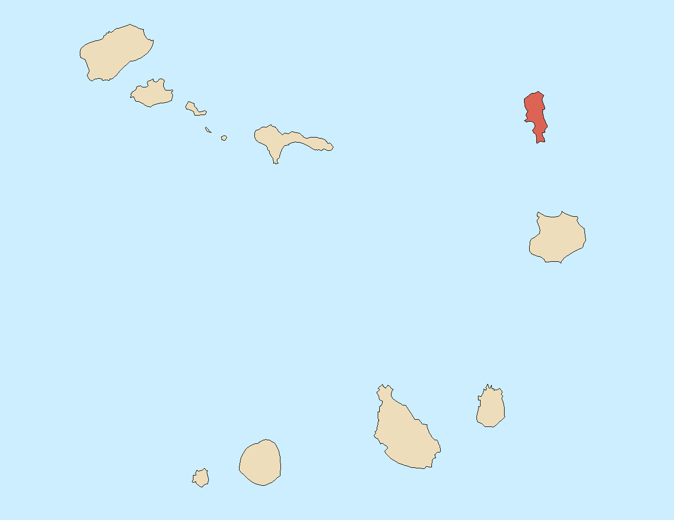
highest_location =Monte Vermelho
highest_elevation = 406
coordinates_type = isle
lat_d = 16 |lat_m = 43 |lat_NS = N
long_d = 22 |long_m = 56 |long_EW = W
area = 216
length = 30
length_orientation = north to south
width = 12
width_orientation = east to westSal (Portuguese for “
salt ” — from the mines atPedra de Lume ) is an island inCape Verde . It belongs to the northern group of islands, calledBarlavento . The island is composed by a single administrative division, the Sal municipality.Geography
The island is 30 km long by 12 km wide. It is one of the three sandy eastern islands (Sal, Boa Vista and
Maio ) of thearchipelago , with white sandy beaches and fairly flat. The highest elevation of 406 m at Monte Grande. Serra Negra has a height of 92 m.Climate
Sal Island has 350 days of sunshine. Winds mainly blow from the northeast. However, many days do also have cloud, but it tends to be broken and seldom brings rain. The 'rainy season' is from August to mid-October, although rainfall is still low.
History
The island was discovered on
December 3 ,1460 and named Llana until salt deposits were found. Sal is the geologically oldest island in Cape Verde, formed 50 million years ago during the eruption of a volcano which is now inactive.External links
* [http://www.caboverde.com/ilhas/sal/guide-e.htm Information on Sal]
* [http://www.umassd.edu/specialprograms/caboverde/sal.html Ilha Do Sal, Cape Verde Islands]
* [http://www.mountain7.co.uk/index.php?/archives/80-The-Cape-Verde-Salt-Flats,-Sal.html The Salt flats at Pedra de Lume]

Wikimedia Foundation. 2010.