- Mull Hill
-
Mull Hill 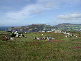
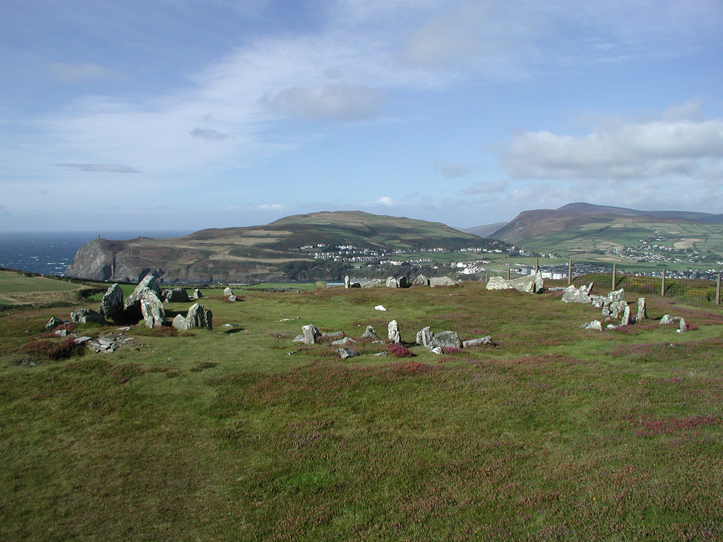
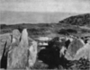
Mull Circle on top of Mull Hill, looking towards Port ErinElevation 169 m (554 ft) Prominence c. 154 m Listing Marilyn Location Location Isle of Man Topo map OS Landranger 95 OS grid SC189676 Mull Hill (Manx: Cronk Meayll; also called Meayll Hill or The Mull) is a small hill at the southern end of the Isle of Man, just outside the village of Cregneash. It is the site of a chambered cairn called Mull Circle or Meayll Circle. Near the summit of the hill also lie the remains of a World War II Chain Home Low RDF station.
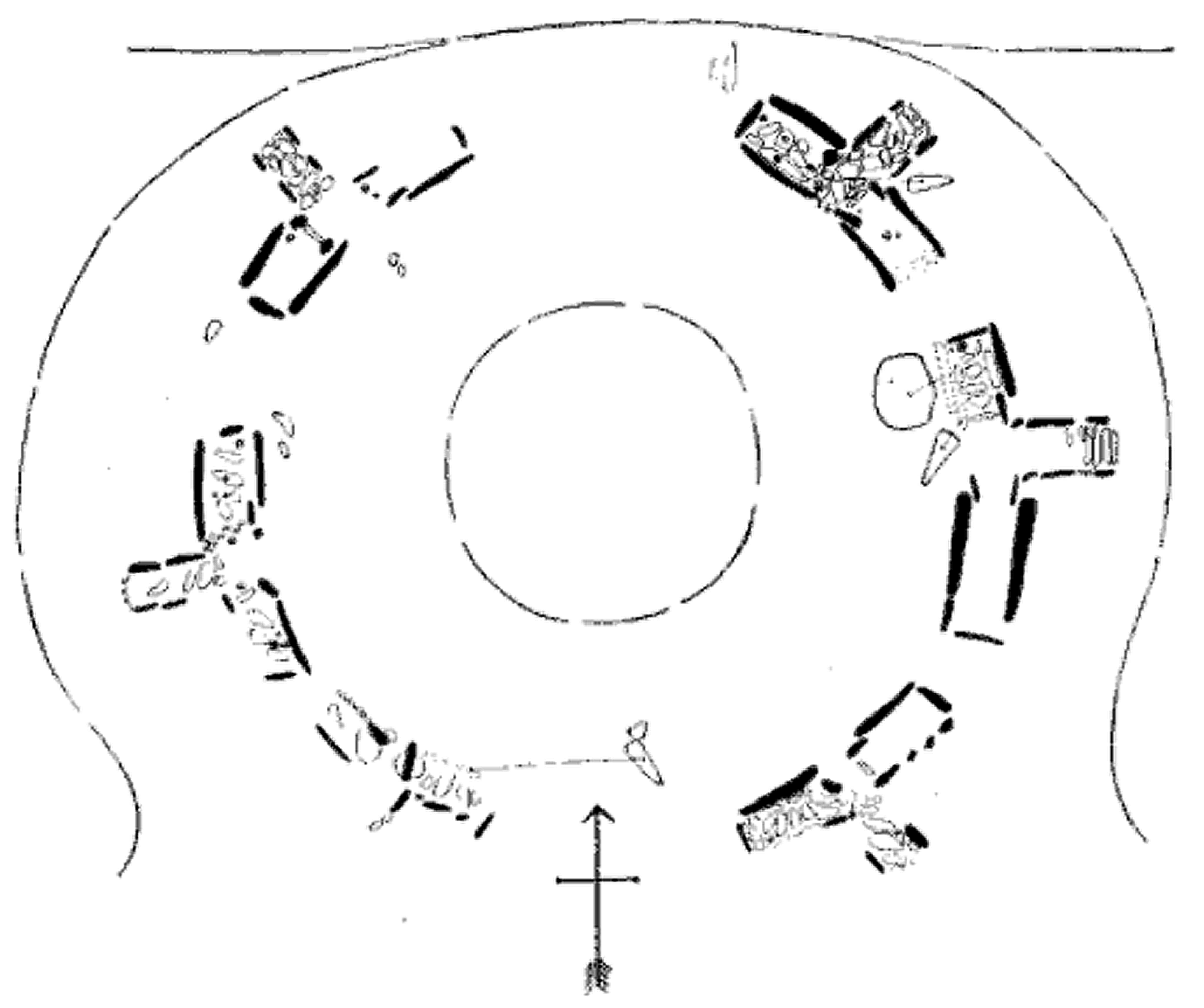
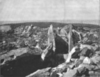
Mull Hill Stone Circle represents a unique archaeological monument. It consists of 12 burial chambers placed in a ring, with 6 entrance passages leading into each pair of chambers. Sherds of ornate pottery, charred bones, flint tools and white quartz pebbles have been found in burial chambers. This archaeological monument was built circa 3500 BC, it is a site of legends with diverse stories about haunting.[1]
The word Mull means "bald" in Manx.
Meayll Circle
- The Stone Circle and artifacts
-
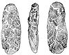
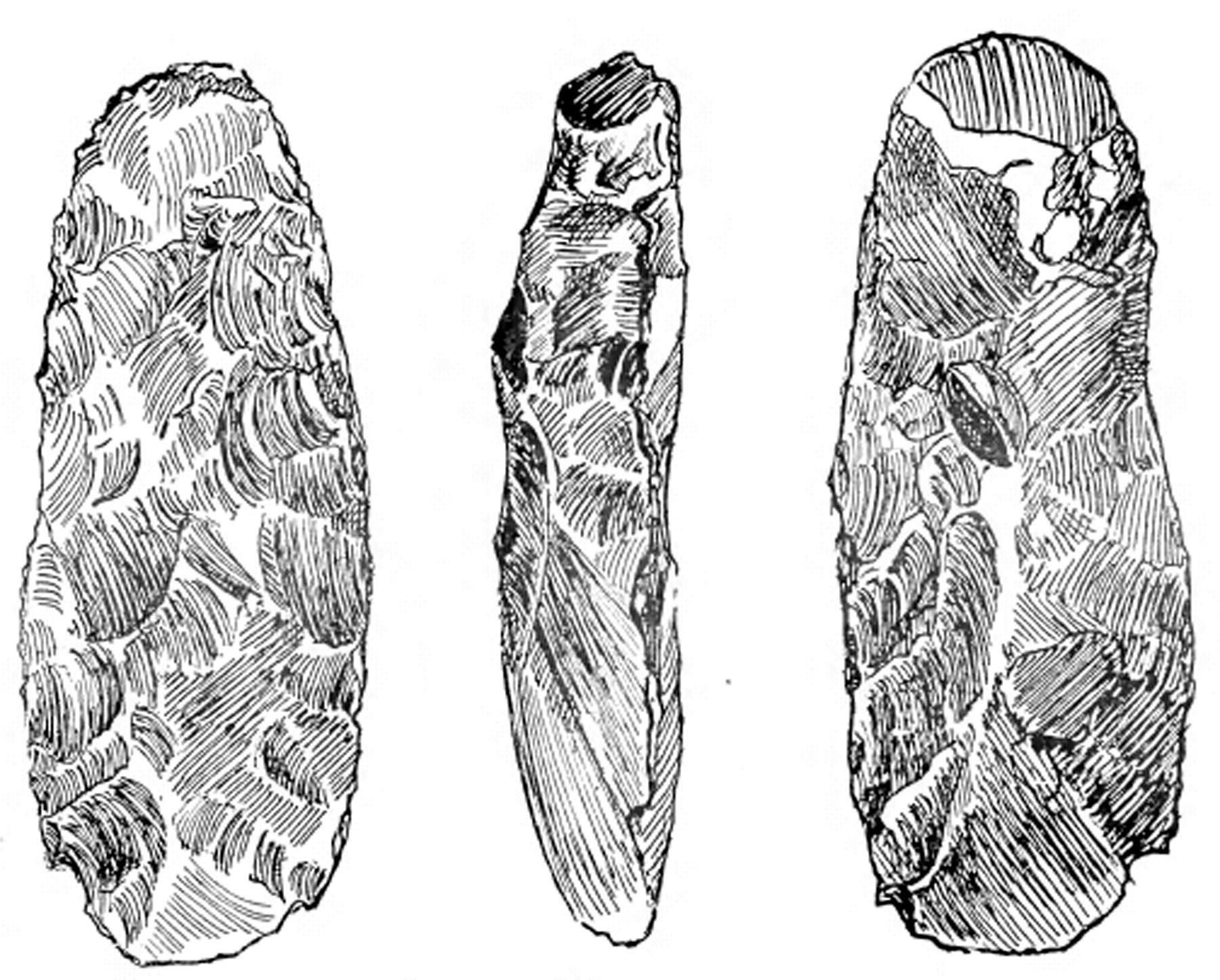
Three views of an adze, from Meayll Hill, Isle of Man
-
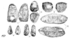
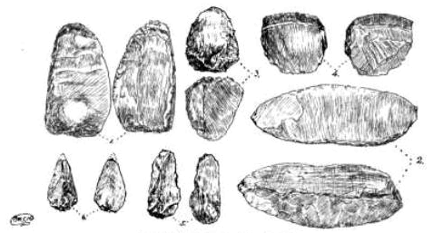
Worked flints found on Meayll Hill, Isle of Man
-

Plan of the Meayll Stone Circle, Isle of Man
-
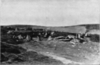
Meayll Stone Circle from the east, Isle of Man
-
Meayll Stone Circle, excavated cist, Isle of Man
-
Meayll Stone Circle, excavated cist (another view), Isle of Man
References
Bibliography
- Kermode, Philip Moore Callow (June, 1894), The Meayll Stone Circle, Isle of Man, in Allen, J. Romilly, "The illustrated archaeologist: a quarterly journal, devoted to the study of the antiquities of Great Britain; the development of the arts and industries of man in past ages; and the survivals of ancient usages and appliances in the present", The Illustrated Archaeologist (London: Charles J. Clark) I: 1–8, 1894, http://books.google.com/books?id=2vIRAAAAYAAJ&printsec=titlepage#PRA1-PA1
- Kermode, Philip Moore Callow; Herdman, W. A. (1904), Illustrated Notes on Manks Antiquities, Liverpool, http://www.archive.org/details/illustratednotes00kermrich
Citations
Coordinates: 54°04′19″N 4°46′08″W / 54.072°N 4.769°W
External links

This Manx location article is a stub. You can help Wikipedia by expanding it.