- Old Kilpatrick railway station
-
Old Kilpatrick 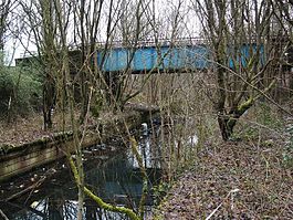
Location Place Old Kilpatrick Area West Dunbartonshire Operations Original company Lanarkshire and Dunbartonshire Railway Pre-grouping Caledonian Railway Platforms 2 History 10 October 1896[1] Opened 5 October 1964[1] Closed Disused railway stations in the United Kingdom Closed railway stations in Britain
A B C D–F G H–J K–L M–O P–R S T–V W–Z- For the station on the former Caledonian and Dunbartonshire Junction Railway / Glasgow, Dumbarton and Helensburgh Railway, now part of the North Clyde Line see Kilpatrick railway station.
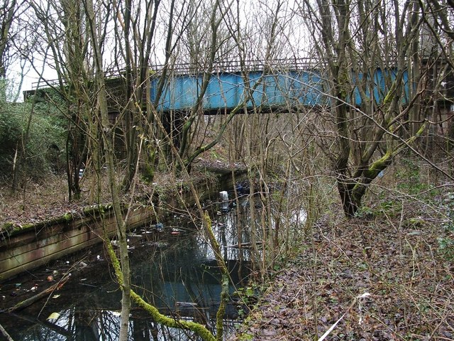
Old Kilpatrick railway station was located in the village of Old Kilpatrick, Scotland on the Lanarkshire and Dunbartonshire Railway.
The station was closed in 1964 (along with much of the L&DR route) as part of the route rationalisation plan associated with the North Clyde electrification scheme.
References
Sources
- Awdry, Christopher (1990). Encyclopaedia of British Railway Companies. London: Guild Publishing.
- Butt, R. V. J. (1995). The Directory of Railway Stations. Patrick Stephens Ltd, Sparkford. ISBN 1-85260-508-1.
- Jowett, Alan. (1989). Jowett's Railway Atlas of Great Britain & Ireland. Sparkford: Patrick Stephens Ltd. ISBN 1-8526-0086-1.
- RAILSCOT on the Lanarkshire and Dunbartonshire Railway
Preceding station Historical railways Following station Dalmuir Riverside
Line and station closedLanarkshire and Dunbartonshire Railway Bowling
Line and station closedCategories:- Disused railway stations in West Dunbartonshire
- Beeching closures in Scotland
- Railway stations opened in 1896
- Railway stations closed in 1964
- Former Caledonian Railway stations
- Scotland railway station stubs
Wikimedia Foundation. 2010.