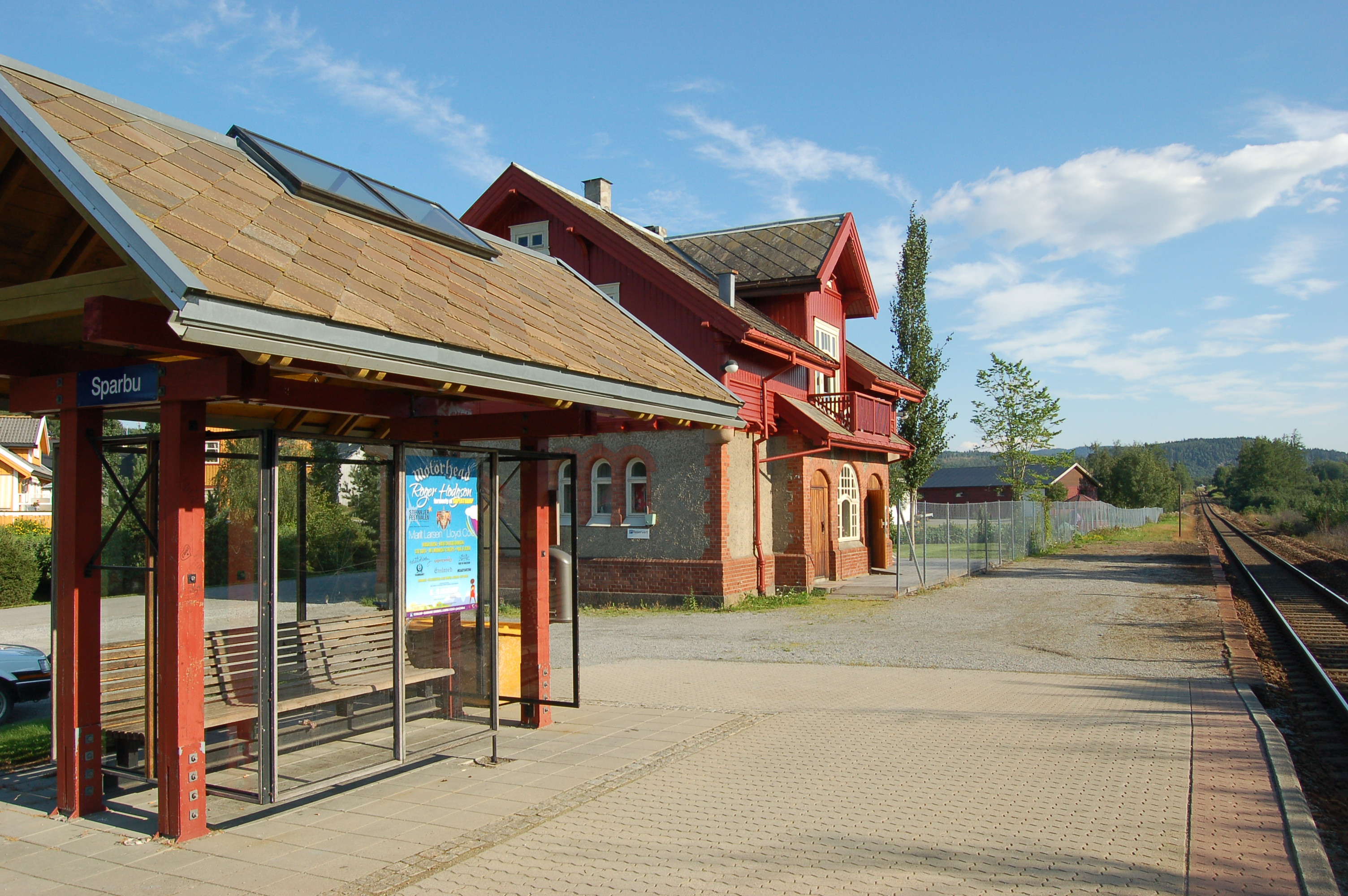
- Sparbu Station
Infobox Norwegian station
name = Sparbu
caption =
locale =Sparbu
municipality =Steinkjer
line =Nordlandsbanen
distance = 112.93 km
elevation = 33.4 m asl
coordinates =
start = 1905
architect =Paul Armin Due
platforms = 1
owner =Jernbaneverket
operator =Norges Statsbaner
t-bane =
line1 =
line2 =
line3 =
line4 =
line5 =
line6 =
airport =
tram =
bus =TrønderBilene |Sparbu is a
railway station located atSparbu inSteinkjer ,Norway onNordlandsbanen . The station serves the areas of Sparbu andMære . The station is only served byTrønderbanen , thecommuter rail service betweenSteinkjer andTrondheim .History
The station was built as part of
Hell–Sunnanbanen and openedNovember 15 ,1905 along with the rest of the line north of Verdal. The original station included three tracks, the extra two 315 and 134 meters long, respectively. These tracks have since been removed and no passing is available at the station. Construction cost NOK 68,753 and was drawn byPaul Armin Due . The station was manned until 1980 and has since been sold and the station building has been converted to a private residence.There was an extensive debate about the location of the station locally. Because the municipalities had to finance 15% of the investments in the railway, the municipal councils also got to determine important issues like the location of stations. Policy at the time was to allow one station for each municipality. The first debate was concerning the line through the municipality, where locals suggested two different lines both going further east to go via the settlement Lein where the only
dairy and a local store was located. But the chief engineer of the project would not recommend either of the suggestions since they would be up to 2 kilometers longer, cost up to NOK 30,000 more and go through more hilly terrain. So it was chosen to keep the original suggestion for a line from 1893.Instead a major debate about the location of a station surfaced, with suggestions to place the station at Kåberg (what is now called Sparbu) or at Mære. Advocates for the Kåberg alternative felt that Kåberg was closest to the centre of the community. On the other hand the Mære advocates felt that proximity to the new
Mære Agricultural School was important. In reality people chose the alternative closest to their own doorstep. The original plans also included a station at Vist. The city council voted to support the Kåberg/Vist alternative onJanuary 17 ,1900 . But by the time it had reached theStorting (legislature), an alternative to replace the two stations with one at Mære was chosen, and onJune 5 , 1900 the Storting voted to only build one station in Sparbu, located at Mære. But locals pled their members of Storting to reconsider the matter, and onApril 24 ,1901 Storting changed their decision to the original suggestion with stations at Kåberg and Vist. In 1904 the county engineer once again suggested moving the station to Mære for technical reasons, but the problems were overcome and two stations built, Sparbu Station andVist Station . By 1917 Mære patriots had chosen to build the privately fundedMære Station . [cite book |last=Hoås |first=Jan |authorlink= |coauthors=Morten Stene |title=Hell Sunnanbanen |year=2005 |publisher=Jubileumskomiteen 2005 |location= |isbn= |pages=57-60]External links
* [http://www.jernbaneverket.no/jernbanenettet/stasjonssok/stasjonsoversikt/article.jhtml?articleID=1590502 Jernbaneverket page on Sparbu Station]
References
Nsb next line
line =Nordlandsbanen
prestation = Røra
poststation = SteinkjerNsb next local
line =Trønderbanen
prestation = Røra
poststation = Steinkjer
Wikimedia Foundation. 2010.
