Gmina Parczew

Gmina Parczew

Infobox Settlement
name = Gmina Parczew
other_name = Parczew Commune
settlement_type = Gmina
total_type = Total


image_shield = POL Parczew COA.svg


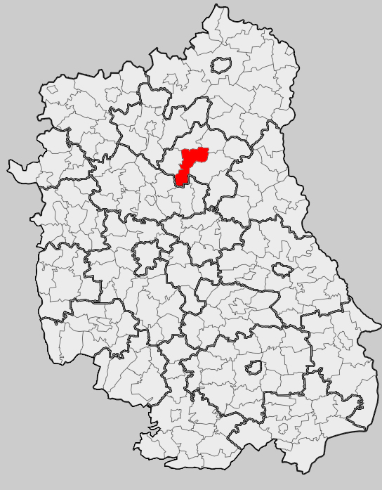
map_caption = Location within the county and voivodeship
subdivision_type = Country
subdivision_name = POL
subdivision_type1 = Voivodeship
subdivision_name1 = Lublin
subdivision_type2 = County
subdivision_name2 = Parczew
area_total_km2 = 146.23
population_total = 14852
population_as_of = 2006
population_density_km2 = auto
population_urban = 10281
population_blank1_title = Rural
population_blank1 = 4571
coor_type = Parczew
latd = 51
latm = 38
lats =
latNS = N
longd = 22
longm = 52
longs =
longEW = E
seat = Parczew
website = http://www.parczew.com/
__NOTOC__Gmina Parczew is an urban-rural gmina (administrative district) in Parczew County, Lublin Voivodeship, in eastern Poland. Its seat is the town of Parczew, which lies approximately convert|48|km|mi|0 north-east of the regional capital Lublin.

The gmina covers an area of convert|146.23|km2|sqmi|1, and as of 2006 its total population is 14,852 (out of which the population of Parczew amounts to 10,281, and the population of the rural part of the gmina is 4,571).

Neighbouring gminas

Gmina Parczew is bordered by the gminas of Dębowa Kłoda, Jabłoń, Milanów, Niedźwiada, Ostrów Lubelski, Siemień and Uścimów.

Villages

The gmina contains the following villages having the status of sołectwo: Babianka, Brudno, Buradów, Jasionka, Koczergi, Komarne, Królewski Dwór, Laski, Michałówka, Pohulanka, Przewłoka, Siedliki, Sowin, Tyśmienica, Wierzbówka, Wola Przewłocka and Zaniówka.

References

* [http://www.stat.gov.pl/gus/45_655_PLK_HTML.htm Polish official population figures 2006]


Wikimedia Foundation. 2010.

Игры ⚽ Поможем написать реферат

Look at other dictionaries:

  • Gmina Milanów — Milanów Commune   Gmina   …   Wikipedia

  • Gmina Dębowa Kłoda — Dębowa Kłoda Commune   Gmina   …   Wikipedia

  • Parczew County — Infobox Settlement name = Parczew County native name = Powiat parczewski settlement type = image shield = POL Powiat parczewski COA.svg map caption = Location within the voivodeship subdivision type = Country subdivision name = POL subdivision… …   Wikipedia

  • Parczew — Infobox Settlement name = Parczew image shield = POL Parczew COA.svg pushpin pushpin label position = bottom subdivision type = Country subdivision name = POL subdivision type1 = Voivodeship subdivision name1 = Lublin subdivision type2 = County… …   Wikipedia

  • Gmina Ostrów Lubelski — Ostrów Lubelski Commune   Gmina   …   Wikipedia

  • Gmina Niedźwiada — Niedźwiada Commune   Gmina   Coat of arms …   Wikipedia

  • Gmina Siemień — Infobox Settlement name = Gmina Siemień other name = Siemień Commune settlement type = Gmina total type = Total image shield = POL gmina Siemień COA.svg map caption = Location within the county and voivodeship subdivision type = Country… …   Wikipedia

  • Gmina Podedwórze — Infobox Settlement name = Gmina Podedwórze other name = Podedwórze Commune settlement type = Gmina total type = Total image shield = POL Podedwórze COA.svg map caption = Location within the county and voivodeship subdivision type = Country… …   Wikipedia

  • Gmina Jabłoń — Infobox Settlement name = Gmina Jabłoń other name = Jabłoń Commune settlement type = Gmina total type = Total image shield = POL gmina Jabłoń COA.svg map caption = Location within the county and voivodeship subdivision type = Country subdivision… …   Wikipedia

  • Gmina Sosnowica — Infobox Settlement name = Gmina Sosnowica other name = Sosnowica Commune settlement type = Gmina total type = Total image shield = POL gmina Sosnowica COA.svg map caption = Location within the county and voivodeship subdivision type = Country… …   Wikipedia

Share the article and excerpts

Direct link
Do a right-click on the link above
and select “Copy Link”