- Paw Paw, Illinois
Geobox City
name = Village of Paw Paw
native_name =
other_name =
other_name1 =
category = Village
image_size =
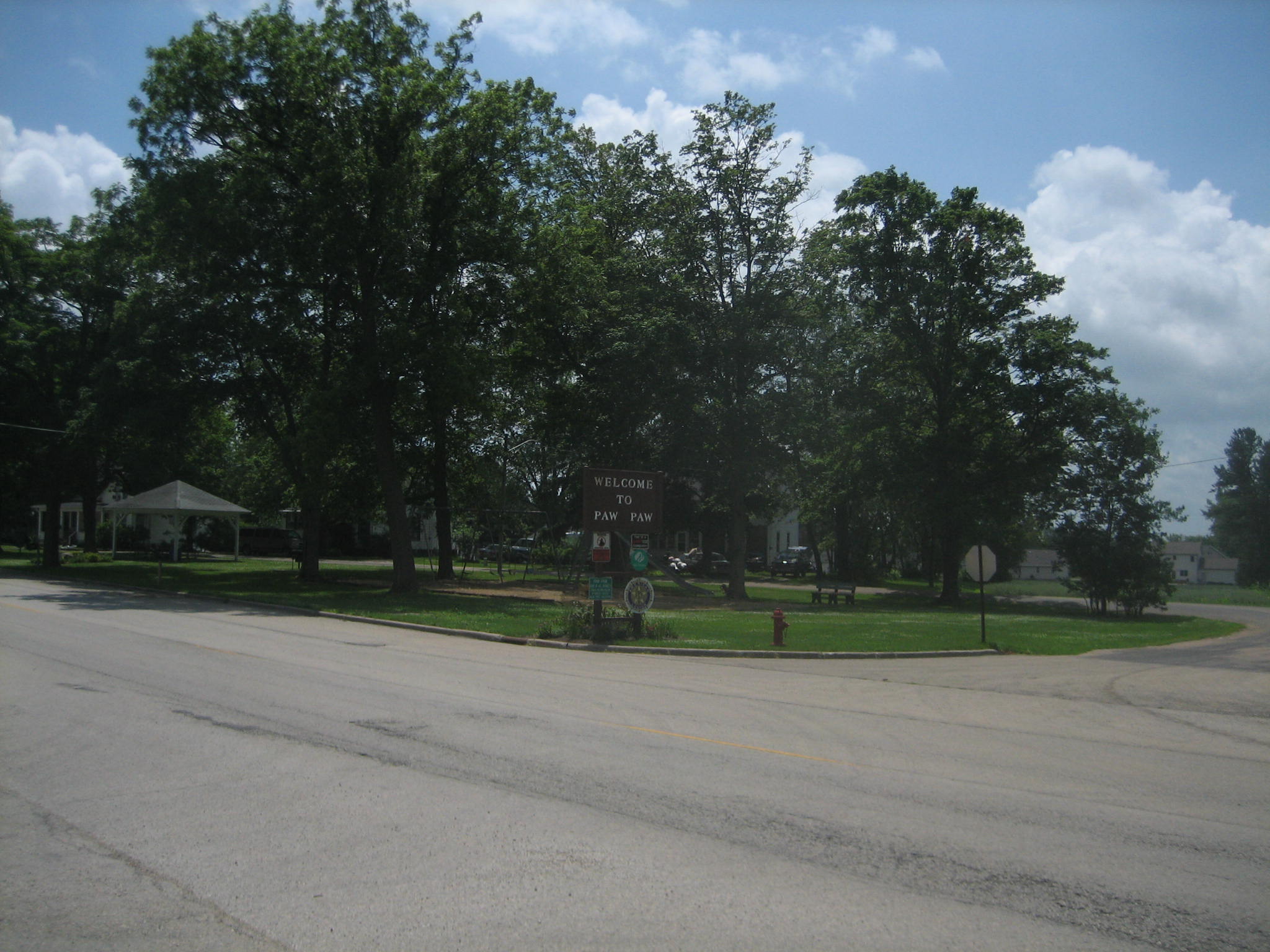
image_caption = Chicago Road as it enters the village of Paw Paw.
flag_type =
flag_size =
symbol_type =
symbol =
symbol_size =
nickname =
motto =
country = United States
state = Illinois
region_type = County
region = Lee
district =
part_type =
part_count =
part =
part1 =
area_imperial = 0.6
area_land_imperial = 0.6
area_water_imperial = 0.0
area_round = 2
area_water_percentage = auto
area_percentage_round = 2
location =
lat_d = 41
lat_m = 41
lat_s = 16
lat_NS = N
long_d = 88
long_m = 58
long_s = 57
long_EW = W
elevation_imperial =
elevation_round = 1
population_as_of = 2000
population = 852
population_density_imperial = 1506.2
population_density_round = 1
population_metro =
government =
established_type =
established =
leader_type = Village President
mayor =
timezone = CST
utc_offset = -6
timezone_DST = CDT
utc_offset_DST = -5
postal_code =
postal_code_type =
area_code =
area_code_type =
code2_type =
code2 =
free_type =
free =
free1_type =
free1 =

map_size =
map_caption = Location of Paw Paw within Illinois
map_locator = Illinois
map_locator_x =
map_locator_y =
map1 = Map of USA IL.svg
map1_caption = Location of Illinois in the United States
website =Paw Paw is a village in Lee County,
Illinois ,United States . As of the 2000 census the village was home to 852 people. It was settled in the mid 19th century and by 1878 the village had a railroad connection. Paw Paw is home to a house which is listed on the U.S.National Register of Historic Places and was the recipient of a 2005 federal grant to construct a water tower.History
In 1829 present-day Chicago Road was part of the Fink and Walker stagecoach line from
Galena, Illinois to Chicago, though thePotawatomi Indians were the first to use the trail. The tribe didn't turn over the area to the U.S. government until 1833. Fink and Walker also held the mail contract for the area's settlers. The route became popular and garnered a mention in the work of poetMargaret Fuller .Paw Paw's first permanent resident was David A. Town in 1834, a native of
Vermont , Town settled on the south east side of a convert|2000|acre|km2|0|sing=on wooded grove. The first cabin was built the next spring by Edward Butterfield on the site of present-day Paw Paw. This first house also held the village's first store and would eventually become the first structure in town to burn. During its earliest days the town was sectioned off into East, West and South Paw Paw, all of which became known as simply Paw Paw. In 1837 the village got its firstpostmaster , William Rodgers. Before Rodgers the nearestpost office was 20mile s away inSomonauk, Illinois . Two years later, in 1839 a new road was constructed which allowed mail to be carried from Paw Paw toPrinceton, Illinois . The first stage coach station (known as a "Tavern") was built along Chicago Road and operated by Isaac Balding. Balding operated the station until the railroad came to town several years later." [http://www.leecountyhistory.com/lee_county/pawpaw.htm Paw Paw] ," "Lee County Historical Society", The History of Lee County. Retrieved28 June 2007 . History paragraph reference.]Though settlement in present-day Paw Paw began during the 1830s, by 1847 there were probably no more than 50 people in the village. The name Paw Paw was derived from a nearby grove of Pawpaw trees on the edge of a convert|2000|acre|km2|0|sing=on forest. American general
Winfield Scott is credited with being the first person of European ancestry to discover the area. The area that Paw Paw is located in was home to more than one stand of Paw Paw trees and, thus, more than one settlement took the name Paw Paw. To avoid confusion the townspeople renamed the village Wyoming Township. The new name came from theWyoming Valley in Pennsylvania, where many of Paw Paw's earliest settlers originated.Zeimetz, Lisa. " [http://gis.hpa.state.il.us/hargis/PDFs/223373.pdf Stephen Wright House] ," (PDF ), National Register of Historic Places Nomination Form,1 April 2005 , HAARGIS Database, "Illinois Historic Preservation Agency". Retrieved28 June 2007 .] The Wyoming Valley was the scene of a massacre during theAmerican Revolution in which over 300 American settlers were killed by Native Americans allied with the British. Many of Paw Paw's early settlers shared surnames with those who are listed as having been involved in the fighting and massacre.In 1850 Wyoming Township experienced a growth spurt despite being passed over for the coveted railroad link, by this time there were several businesses and a school. By 1878 the village finally got a railroad connection, was home to two newspapers, three churches and was christened, officially, as Paw Paw. The village was officially established in 1882 and is celebrating its 125th anniversary in 2007." [http://mywebtimes.com/ottnews/archives/ottawa/display.php?id=301616 Paw Paw 125th anniversary DVD completed] ," "Ottawa Times"
25 June 2007 . Retrieved28 June 2007 .].]
Geography
Paw Paw is located at coor dms|41|41|16|N|88|58|57|W|city (41.687856, -88.982577)GR|1.
According to the
United States Census Bureau , the village has a total area of 0.6square mile s (1.5km² ), all of it land. The village is located within close reach of an exit on and offInterstate 39 .Demographics
As of the
census GR|2 of 2000, there were 852 people, 342 households, and 228 families residing in the village. Thepopulation density was 1,506.2 people per square mile (577.1/km²). There were 359 housing units at an average density of 634.7/sq mi (243.2/km²). The racial makeup of the village was 98.71% White, 0.12% Native American, 0.35% Asian, and 0.82% from two or more races. Hispanic or Latino of any race were 1.17% of the population.There were 342 households out of which 31.3% had children under the age of 18 living with them, 54.1% were married couples living together, 7.9% had a female householder with no husband present, and 33.3% were non-families. 30.4% of all households were made up of individuals and 15.5% had someone living alone who was 65 years of age or older. The average household size was 2.49 and the average family size was 3.09.
In the village the population was spread out with 27.7% under the age of 18, 6.9% from 18 to 24, 27.1% from 25 to 44, 23.1% from 45 to 64, and 15.1% who were 65 years of age or older. The median age was 38 years. For every 100 females there were 99.5 males. For every 100 females age 18 and over, there were 97.4 males.
The median income for a household in the village was $37,563, and the median income for a family was $47,500. Males had a median income of $36,833 versus $22,000 for females. The
per capita income for the village was $17,461. About 2.9% of families and 5.9% of the population were below thepoverty line , including 10.7% of those under age 18 and 5.9% of those age 65 or over.Education
Public education in Paw Paw is overseen by Unit 271 school district. The district operates Paw Paw Junior and Senior High School as well as an elementary school. Both schools are located in the village of Paw Paw. [http://www.2paws.net/ Paw Paw Community Unit School District 271] , Official site. Retrieved
28 June 2007 .]ee also
*
Stacy's Tavern Notes
External links
Wikimedia Foundation. 2010.