Tuggeranong Hill

Tuggeranong Hill
Tuggeranong Hill viewed from Box Hill Avenue in Conder.

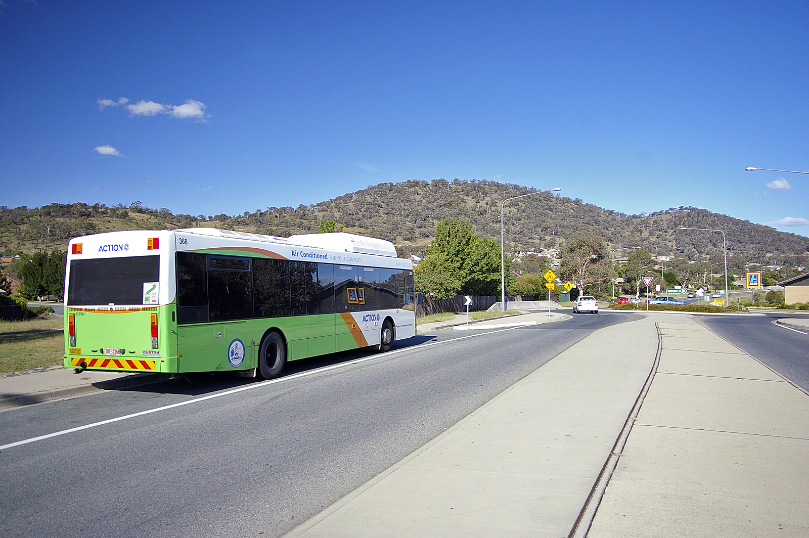
Tuggeranong Hill is located in Tuggeranong, Canberra. It is sometimes referred to as Mount Tuggeranong due to its prominence.

Lanyon Valley is almost completely surrounded by hills and mountains and consequently television transmissions from Black Mountain are affected. To overcome this, there is a broadcast translator on top of Tuggeranong Hill. There is a track to the repeater on top of Tuggeranong Hill for service vehicles that doubles as a fire trail.

Tuggeranong Hill is part of the Canberra Nature Park. A walk to the top of Tuggeranong Hill provides views of the Lanyon Valley and of the rest of Canberra.

Tuggeranong Hill stands 855 metres (2800 feet) above sea level.[1]

Notes

  1. ^ "Canberra Nature Park - Tuggeranong Hill Nature Reserve". ACT Government Department of Territory and Municipal Services. http://www.tams.act.gov.au/__data/assets/pdf_file/0013/13441/cnpmaptuggaranong.pdf. Retrieved 2008-09-25. 

See also

  • Tuggeranong (district)

Coordinates: 35°27′12″S 149°06′28″E / 35.45333°S 149.10778°E / -35.45333; 149.10778


Wikimedia Foundation. 2010.

Игры ⚽ Нужен реферат?

Look at other dictionaries:

  • Tuggeranong — is the southernmost town centre of Canberra, the capital city of Australia. It comprises 19 suburbs with a total of 31,819 dwellings, housing 87,119 people of the 324,034 people in the Australian Capital Territory (2006 Census). The district… …   Wikipedia

  • Tuggeranong Parish, Murray — Infobox Australian cadastral name = Tuggeranong Parish state = New South Wales imagesize = 220px caption = 1904 cadastral map with highlights: legend|#130eff|Boundary of Tuggeranong parish since 1909 legend|#e5151a|Formerly part of the parish;… …   Wikipedia

  • Conder, Australian Capital Territory — Conder Canberra, Australian Capital Territory Population: 5,051 (2006 cen …   Wikipedia

  • Calwell, Australian Capital Territory — Infobox Australian Place | type = suburb name = Calwell city = Canberra state = Australian Capital Territory lga = Tuggeranong ACTgov = Brindabella fedgov = Canberra est = 1986 postcode = 2905 pop = 6,039 (2001 census) propval = $305,000 (2005)… …   Wikipedia

  • Theodore, Australian Capital Territory — Infobox Australian Place | type = suburb name = Theodore city = Canberra state = Australian Capital Territory lga = Tuggeranong ACTgov = Brindabella fedgov = Canberra est = 1986 postcode = 2905 pop = 4,163 (2001 census) propval = near nw =… …   Wikipedia

  • Gigerline Parish, Murray — Infobox Australian cadastral type = former parish name = Gigerline Parish state = Australian Capital Territory imagesize = caption = lga = Yarrowlumla Shire (former) county = Murray land district = Queanbeyan hundred = est = near nw = Congwarra… …   Wikipedia

  • Canberra-Naturpark — Eingang zum Reservat auf dem Red Hill Als Canberra Naturpark (engl. Canberra Nature Park) wird ein Verbund von 30 verschiedenen Naturschutzgebieten in der australischen Hauptstadt Canberra bezeichnet. Die Vegetation reicht von Wäldern über… …   Deutsch Wikipedia

  • Mount Tennent — from Tuggeranong Hill Elevation 1,375 m (4,511 ft) …   Wikipedia

  • Canberra — Canberra …   Deutsch Wikipedia

  • Canberra — 35°18′30″S 149°07′28″E / 35.30833, 149.12444 …   Wikipédia en Français

Share the article and excerpts

Direct link
Do a right-click on the link above
and select “Copy Link”