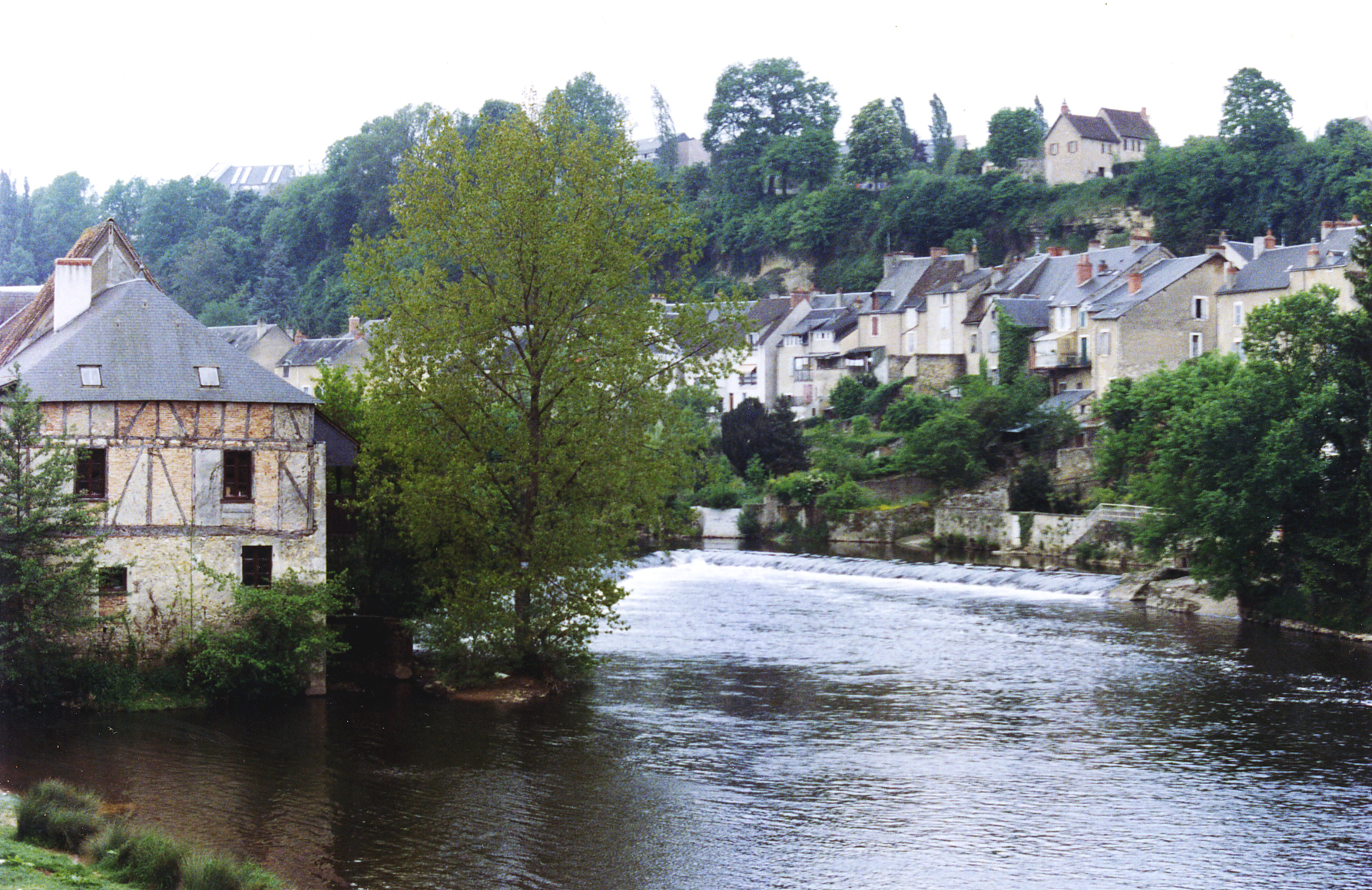
- Creuse River
Infobox River | river_name = Creuse

caption = Creuse River inArgenton-sur-Creuse
origin =Plateau de Millevaches
mouth = Vienne
coord|47|0|22|N|0|34|7|E|name=Vienne-Creuse|display=inline,title
basin_countries =France
length = 264 km
elevation = 932 m
discharge = 81 m³/s
watershed = 9,570 km²The Creuse (Occitan : "Cruesa") is a 264 km longriver in westernFrance , a tributary of the river Vienne. Its source is in thePlateau de Millevaches , a north-western extension of theMassif Central . It flows north-west through the following "départements" and towns:*
Creuse département (named after the river): Aubusson.
*Indre département:Argenton-sur-Creuse ,Le Blanc .
*Indre-et-Loire département.
*Vienne département:La Roche-Posay The Creuse flows into the river Vienne about 20 km north of
Châtellerault . A tributary of the river Creuse is theGartempe .There are six hydroelectric dams on the river. Three are in the Creuse département and three in the Indre. The
Eguzon dam , opened in 1926, was at the time the largest in Europe. The lakes created by the dams are popular spots for tourists.References
*http://www.geoportail.fr
* [http://sandre.eaufrance.fr/app/chainage/courdo/htm/L---007-.php?cg=L---007- The Creuse at the Sandre database]
Wikimedia Foundation. 2010.
