Mardale

Mardale

Coordinates: 54°30′36″N 2°48′36″W / 54.510°N 2.810°W / 54.510; -2.810

Mardale
Mardale

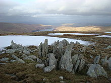
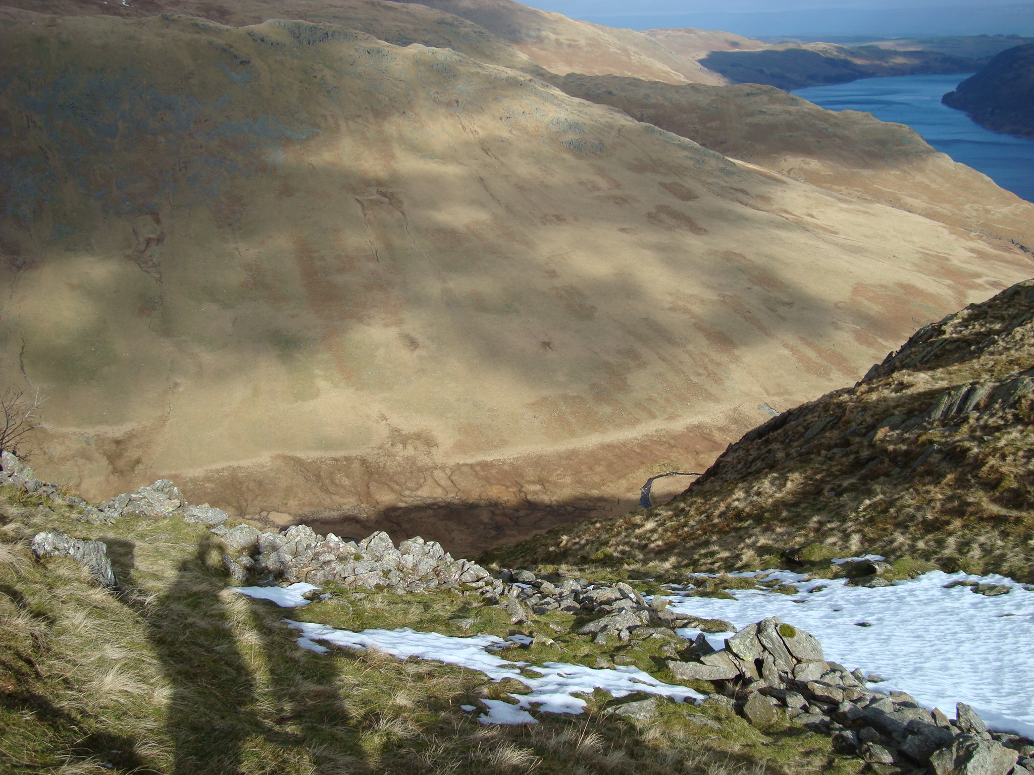
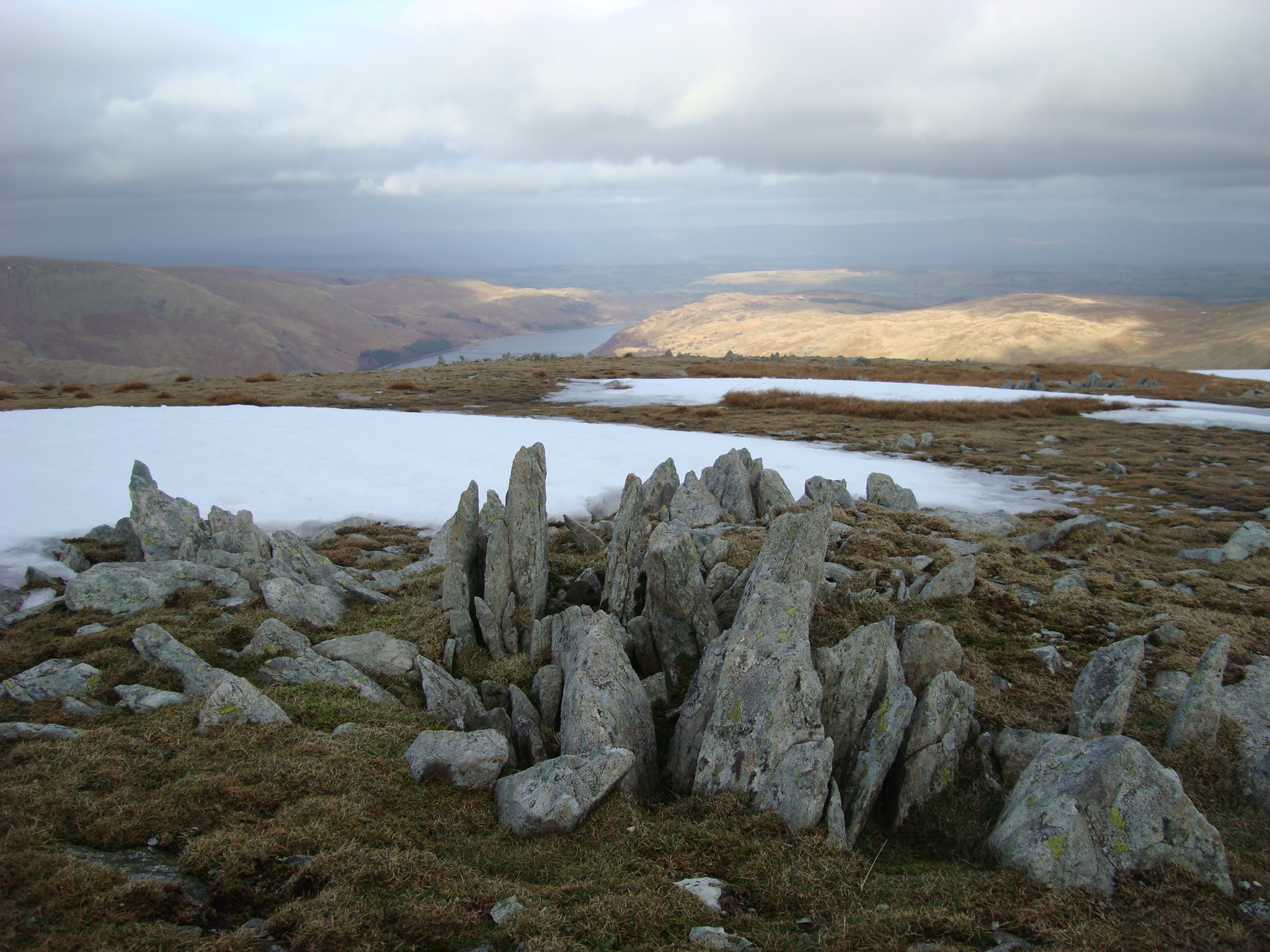
Mardale is a glacial valley in the Lake District, in northern England. The valley used to have a hamlet at its head, called Mardale Green, but this village was submerged in 1935 when the water level of the valley's lake, Haweswater, was raised to form Haweswater Reservoir by the Manchester Corporation. Most of the village's buildings were blown up by the Royal Engineers, who used them for demolition practice. The exception was the small church, which could accommodate only 75 people, and had an all-ticket congregation for its last service. It was then dismantled stone by stone, and the stones re-used to build a small pier and tower along the shore of the reservoir. Some 97 sets of remains were disinterred from the churchyard and transferred to Shap. Alfred Wainwright protested bitterly about the loss of Mardale in his series of pictorial guides to the Lakeland fells, having first visited it in 1930.

In response to the submerging of the village the Manchester Corporation provided an access road that runs for four miles along the south-eastern side of the reservoir to a car park at Mardale Head. From here ascents of the peaks surrounding the head of the valley, such as Harter Fell, High Street and Kidsty Pike may be made.

The abandoned village occasionally re-appears when the water level gets low, only to disappear again when levels rise. This village is the inspiration for the satirical newspaper the Mardale Times.


Wikimedia Foundation. 2010.

Игры ⚽ Нужна курсовая?

Look at other dictionaries:

  • Mardale Ill Bell — Mardale Ill Bell …   Wikipedia

  • Harter Fell (Mardale) — To read about the Harter Fell near Eskdale in the Lake District, see Harter Fell (Eskdale). Infobox Mountain Name = Harter Fell Photo = Harter Fell and Blea Water from High Street.jpg Caption = Harter Fell seen from High Street with Blea Water in …   Wikipedia

  • Haweswater Reservoir — Bild gesucht  BW Geographische Lage Cumbria, England Zuflüsse …   Deutsch Wikipedia

  • Selside Pike — Infobox Mountain Name = Selside Pike Photo = Caption = Elevation = 655 m (2,148 ft) Location = Cumbria, ENG Range = Lake District, Far Eastern Fells Prominence = c 40 m Parent peak = Branstree Coordinates = Topographic OS Explorer OL5, Explorer… …   Wikipedia

  • Haweswater — DEC …   Deutsch Wikipedia

  • Haweswater Reservoir — Infobox lake lake name = Haweswater Reservoir image lake = Haweswater from Harter Fell 3.jpg caption lake = seen from high up on Harter Fell image bathymetry = caption bathymetry = location = Lake District, Cumbria coords =… …   Wikipedia

  • Branstree — Infobox Mountain Name = Branstree Photo = BRANSTREE AND GATESCARTH PASS FROM GOAT SCAR (2).jpg Caption = Branstree seen from Goat Scar to the South. The Gatescarth Pass track is seen in the valley below Elevation = 713 m, (2,339 ft) Location =… …   Wikipedia

  • Far Eastern Fells — The Far Eastern Fells are a group of hills in the English Lake District. Reaching their highest point at High Street (828 metres or 2,718 ft) they occupy a broad area to the east of Ullswater and Kirkstone Pass. Much quieter than the central… …   Wikipedia

  • List of fells in the Lake District — This is a list of fells, hills, mountains, groups of mountains and subsidiary summits and tops in the Lake District, England. Alphabetical list A *Allen Crags *Angletarn Pikes *Ard Crags *Armboth Fell *Arnison Crag *Arthur s Pike B *Bakestall… …   Wikipedia

  • Kentmere — Coordinates: 54°25′44″N 2°50′24″W / 54.429°N 2.840°W / 54.429; 2.840 …   Wikipedia

Share the article and excerpts

Direct link
Do a right-click on the link above
and select “Copy Link”