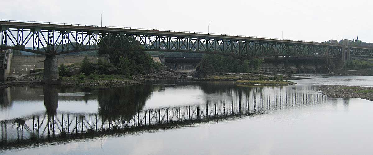
- Gill - Montague Bridge
Infobox Bridge
bridge_name=Gill-Montague Bridge
caption=
official_name=
carries=pedestrian and vehicular traffic
crosses=Connecticut River
locale=Gill and Turners Falls
maint=
id=
design=truss bridge
mainspan=
length=convert|528.2|m|ft|0 [ [http://massroads.com/?word=span&query_statecode=25 Massroads.com] ]
width=
height=
load=
clearance=
below=
traffic=
begin=
complete=1938
open=
closed=
toll=
map_cue=
map_
map_text=
map_width=
coordinates= coord|42|36|40|N|72|33|11|W|region:US_type:landmark|display=inline,title
lat=
long=The Gill - Montague Bridge is a steel deck
truss bridge crossing theConnecticut River between towns of Turners Falls (which is a section of Montague) and Gill, Massachusetts. The bridge carries automobile and pedestrian traffic.History
This bridge is currently scheduled for refurbishment in the 2008-2009 time frame at an estimated cost of $34.5 million. [ [http://frcog.org/pubs/transportation/2007RTP/Ch5_RoadandBridges_draftJan07.pdf Franklin Region Transportation Plan, January 2007, chapter 5] ]
According to Whittlesey, there used to be a suspension bridge here when he saw it in 1934 and 1936. [cite book
last = Whittlesey
first = Charles W.
authorlink =
coauthors =
title = Crossing and Re-Crossing the Connecticut River
publisher = The Tuttle, Morehouse & Taylor Company
date = 1938
location = New Haven, Connecticut
pages = p.25
url =
doi =
id =
isbn = ]Image Gallery
ee also
*
List of crossings of the Connecticut River External links / References
* [http://www.mhd.state.ma.us/ProjectInfo/Main.asp?ACTION=ViewProject&PROJECT_NO=601585 Project status page]
Crossings navbox
structure = Crossings
place =Connecticut River
bridge = Gill-Montague Bridge
bridge signs =
upstream =French King Bridge
upstream signs =
downstream =Turners Falls Road Bridge
downstream signs =
Wikimedia Foundation. 2010.
