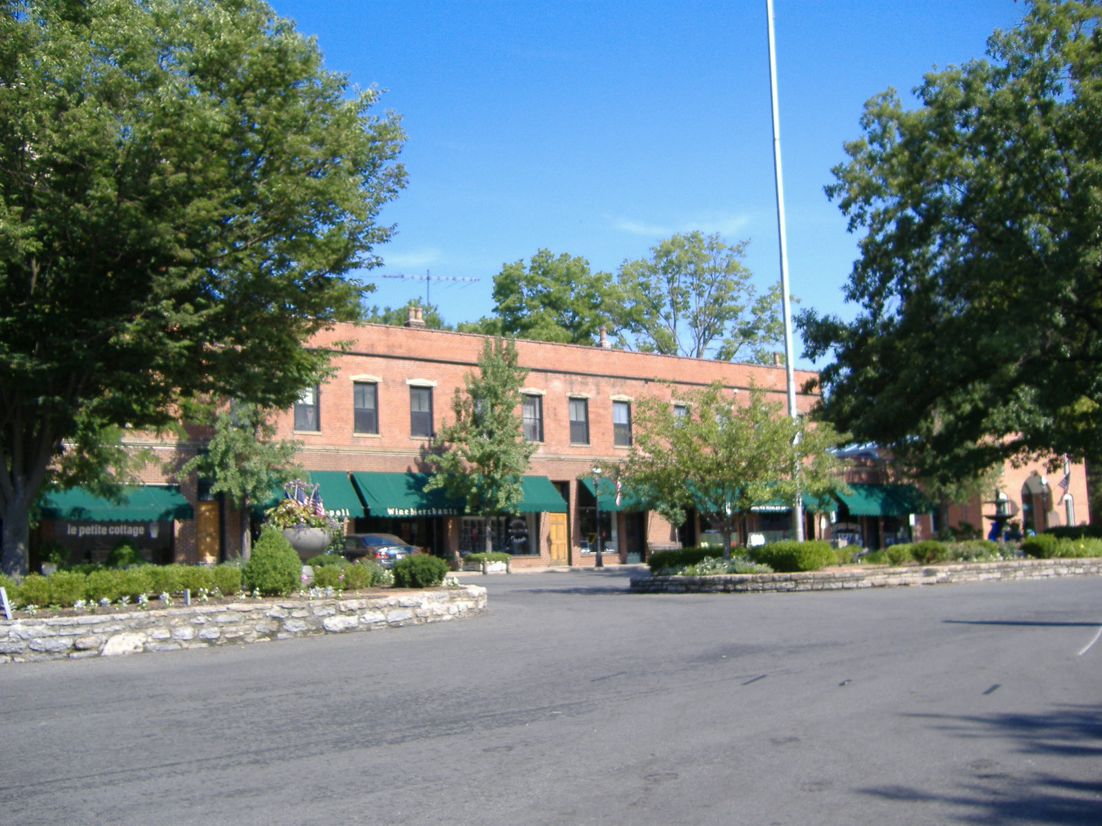
Glendale Historic District (Glendale, Ohio)
- Glendale Historic District (Glendale, Ohio)
Infobox nrhp
name = Glendale Historic District
nrhp_type = nhld
area = 392 acres

caption =
location = OH 747, Glendale, Ohio
built =1861
architect= Multiple
architecture = Mid 19th Century Revival, Late Victorian and Late 19th and 20th Century Revivals[cite web|url=http://www.nr.nps.gov/|title=National Register Information System|date=2007-06-30|work=National Register of Historic Places|publisher=National Park Service] ]
designated= May 05, 1977[cite web|url=http://tps.cr.nps.gov/nhl/detail.cfm?ResourceId=1658&ResourceType=District]
title=Glendale Historic District |accessdate=2008-04-12|work=National Historic Landmark summary listing|publisher=National Park Service]
added = July 20, 1976
governing_body = Local and Private
refnum = 76001447
Glendale Historic District is a historic district in Glendale, Ohio, listed in the National Register in 1976. It contains 439 contributing buildings.
It was declared a National Historic Landmark in 1977.[citation|title=PDFlink| [http://pdfhost.focus.nps.gov/docs/NHLS/Text/76001447.pdf National Register of Historic Places Inventory-Nomination: Glendale Historic District] |32 KB|date=Date unavailable |author=Author unavailable |publisher=National Park Service (incomplete scanned copy) and PDFlink| [http://pdfhost.focus.nps.gov/docs/NHLS/Photos/76001447.pdf "Accompanying 37 photos, from 1866, 1975, 1976, and undated"] |32 KB] ]The railroad depot included in the district holds a museum of memorabilia of the village's past, including when John Hunt Morgan went through the village on his great raid.
The district covers 392 acres and is an "irregular polygon situated East of State Route 4, north of State Route 126, embracing a portion of the C&O-B&O Railroad right-of-way."
Notes
External links
* [http://www.glendaleohio.org/landmarks.html Glendale Ohio National Historic District]
Wikimedia Foundation.
2010.
Look at other dictionaries:
Glendale Historic District — may refer to:* Glendale Historic District (Glendale, Ohio) * Glendale Historic District (Kentucky) … Wikipedia
Main-Market Historic District — U.S. National Register of Historic Places U.S. Historic district … Wikipedia
Newtown-Stephensburg Historic District — U.S. National Register of Historic Places … Wikipedia
National Register of Historic Places listings in Hamilton County, Ohio — Location of Hamilton County in Ohio This is a list of the National Register of Historic Places listings in Hamilton County, Ohio. This is intended to be a complete list of the properties and districts on the National Register of Historic Places… … Wikipedia
National Register of Historic Places listings in Akron, Ohio — Location of Akron in Summit County This is a list of the National Register of Historic Places listings in Akron, Ohio. This is intended to be a complete list of the properties and districts on the National Register of Historic Places in Akron,… … Wikipedia
National Register of Historic Places listings in Hardin County, Kentucky — Location of Hardin County in Kentucky This is a list of the National Register of Historic Places listings in Hardin County, Kentucky. This is intended to be a complete list of the properties and districts on the National Register of Historic… … Wikipedia
National Register of Historic Places listings in Maricopa County, Arizona — Location of Maricopa County in Arizona This is a list of the National Register of Historic Places listings in Maricopa County, Arizona. It is intended to be a complete list of the properties and districts on the National Register of Historic… … Wikipedia
National Register of Historic Places listings in Los Angeles County, California — Map of all coordinates from Google Map of all coordinates from Bing … Wikipedia
National Register of Historic Places listings in Illinois — Map of all coordinates from Google Map of all coordinates from Bing … Wikipedia
National Register of Historic Places listings in Wayne County, Michigan — The white areas represent unincorporated charter and civil townships. The gray areas represent incorporated cities and villages … Wikipedia

