- Mount Moulton
-
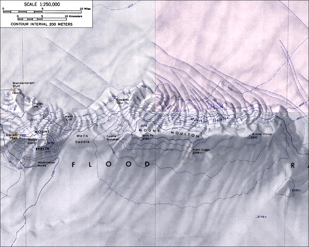
Mount Moulton 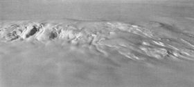
Aerial view of Mount Moulton from the southElevation 3,078 m (10,098 ft) Location Location Marie Byrd Land, Antarctica Range Flood Range Coordinates 76°03′S 135°08′W / 76.05°S 135.133°W Geology Type Shield volcano (extinct) Mount Moulton is a broad, ice-covered shield volcano standing 16 km (10 mi) E of Mount Berlin in the Flood Range, Marie Byrd Land.
Discovered on aerial flights by the United States Antarctic Service in 1940, and named for Richard S. Moulton, chief dog driver at West Base and a member of the survey party which sledged to the western end of the Flood Range in December 1940.
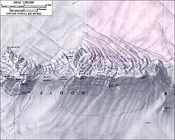 Topographic map of Mounts Moulton and Berlin
On the northern slopes of Mount Moulton, there are steep icefalls, called the Moulton Icefalls.
The Prahl Crags are located on the souther slopes of Mount Moulton.
Sources
- LeMasurier, W. E.; Thomson, J. W. (eds.) (1990). Volcanoes of the Antarctic Plate and Southern Oceans. American Geophysical Union. p. 512 pp. ISBN 0-87590-172-7.
- U.S. Geological Survey Geographic Names Information System: Mount Moulton
- "Amar Andalkar's Ski Mountaineering and Climbing Site. Skiing the Pacific Ring of Fire and Beyond". 1997–2007. http://www.skimountaineer.com/ROF/RingOfFire.html. Retrieved 2005-01-14.

This Marie Byrd Land location article is a stub. You can help Wikipedia by expanding it.