- Mørkdalstuva
-
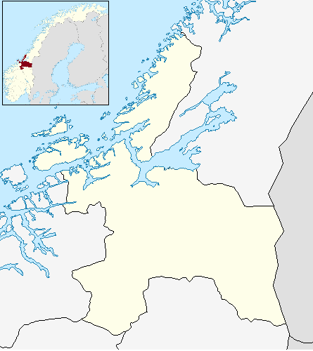
Mørkdalstuva Mørkdalstua Location in Sør-Trøndelag
 Mørkdalstuva
Elevation 345 m (1,132 ft) Prominence 345 m (1,132 ft) Location Location Hitra, Sør-Trøndelag, Norway Coordinates 63°29′38″N 08°30′50″E / 63.49389°N 8.51389°ECoordinates: 63°29′38″N 08°30′50″E / 63.49389°N 8.51389°E Topo map 1421 IV Skardsøya Mørkdalstuva or Mørkdalstua is the tallest mountain on the island of Hitra in the municipality of Hitra in Sør-Trøndelag county, Norway. The 345-metre (1,132 ft) tall mountain lies on the western side of the island, about 8 kilometres (5.0 mi) northeast of Forsnes and 7.5 kilometres (4.7 mi) southeast of Kvenvær.[1]
Name
The mountain is named after the Mørkdalen valley. The last element is the finite form of tuve or tue which means "tussock". The valley name Mørkdalen is a compound of mørk which means "dark" and the finite form of dal which means "dale" or "valley".
References
- ^ "Mørkdalstua" (in Norwegian). yr.no. http://www.yr.no/place/Norway/S%C3%B8r-Tr%C3%B8ndelag/Hitra/M%C3%B8rkdalstua/. Retrieved 2010-12-28.
Categories:- Hitra
- Mountains of Sør-Trøndelag
- Sør-Trøndelag geography stubs
Wikimedia Foundation. 2010.