- Outwood Viaduct
-
 The west side, Radcliffe is to the left.
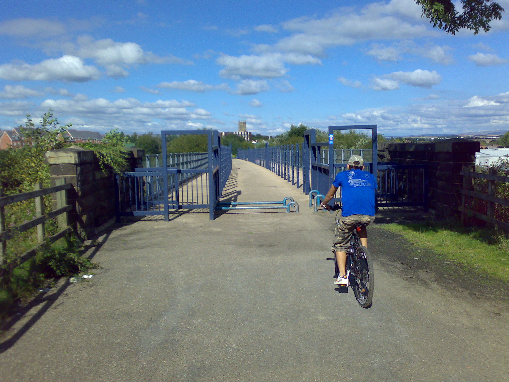
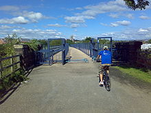 The viaduct has long since ceased to carry trains.
Outwood Viaduct is a Grade II listed railway viaduct crossing the River Irwell in Radcliffe, Greater Manchester. It no longer carries trains, and after a period of disuse was restored and opened to the general public as part of a footpath.
Contents
History
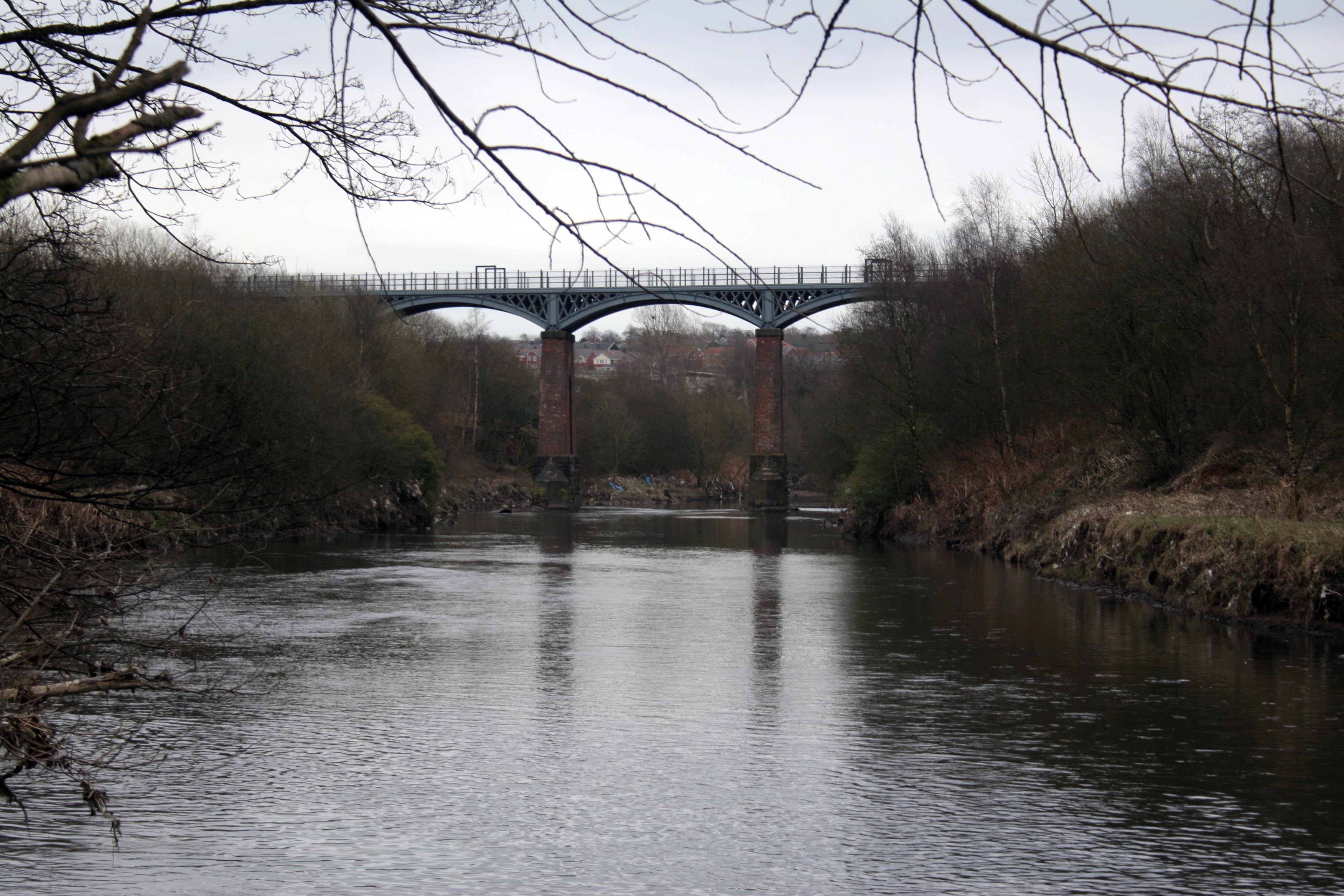
The viaduct was built by contractors for the Manchester, Bury and Rossendale Railway, to carry trains across the River Irwell on the Clifton Junction to Bury line. It is 340 feet (100 m) long, and carries the line 70 feet (21 m) above the Irwell. The inaugural date for the timber structure was 25 September 1846[1]. The superstructure was converted to cast iron in 1881 by Handyside and Company of Derby.[2]. The London, Midland and Scottish Railway replaced the timber decking in 1923.[3]
The closest station was Radcliffe Bridge, heading southwest to Clifton the following station was Ringley Road.
Having been closed to railway traffic in 1966, it was restored and subsequently re-opened to the general public on 25 June 1999 by Sir William McAlpine, President of the Railway Heritage Trust.[4]
References
- ^ Wells 1995, p. 115.
- ^ Burman 1995, p. 224.
- ^ Wells 1995, p. 109.
- ^ Outwood Viaduct Restoration, Bury Metropolitan Borough Council, http://www.bury.gov.uk/Environment/Planning/PlanningProjects/PastProjects/OutwoodVia.htm, retrieved 2008-12-12
Bibliography
- Wells, Jeffrey (1995), An Illustrated Historical Survey of the Railways in and Around Bury, Challenger Publications, ISBN 1-899624-29-5
- Burman, Peter; Michael Stratton (1997), Conserving the Railway Heritage, Taylor & Francis, ISBN 0-419-21280-9, http://books.google.co.uk/books?id=wJFeAvg-3JsC
External links
Categories:- Grade II listed buildings in Greater Manchester
- Bridges in Greater Manchester
- Railway bridges in England
- Pedestrian bridges in England
- Bridges completed in 1846
- Irwell Valley
- Viaducts in the United Kingdom
Wikimedia Foundation. 2010.