- Mount Bures
-
Coordinates: 51°57′00″N 0°46′01″E / 51.95°N 0.767°E
Mount Bures 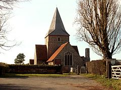
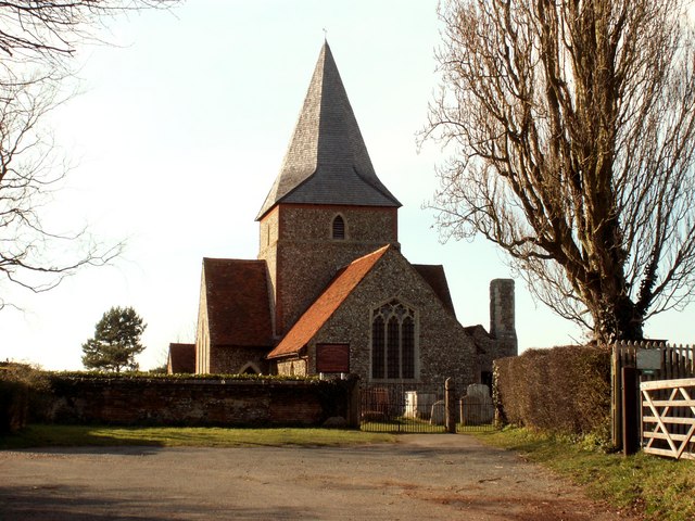
St. John's church, Mount Bures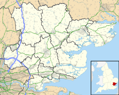
 Mount Bures
Mount Bures shown within EssexDistrict Colchester Shire county Essex Region East Country England Sovereign state United Kingdom EU Parliament East of England List of places: UK • England • Essex Mount Bures is a small village on the Essex and Suffolk borders. It takes its name from the mount or motte believed to have been built shortly after the invasion by William the Conqueror in 1066.
The "Gainsborough" railway line that runs through the village is believed to have opened in 1848. A few miles down the line from Mount Bures is the Chappel Viaduct. The Thatchers Arms in Mount Bures was originally thought to have become a brewhouse or public house to quench the thirst of the Navies working on the railway line and the viaduct in the late 1840s.
External links
- Mount Bures Website This gives a full history of the village from the Saxon times up to the present day. Updated regularly with current news and events.
[* Managing a Masterpiece] part of a National Lottery funded project included examination of what is believed to be a Motte Motte-and-bailey Carenza_Lewis supervised the dig.
Categories:- Villages in Essex
- Colchester

Wikimedia Foundation. 2010.