- South Andaman Island
Infobox Islands
name = South Andaman
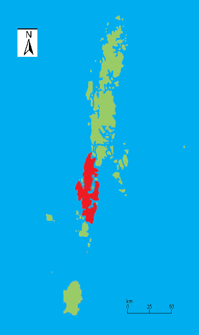
image caption = Outline map of theAndaman Islands , with the location of South Andaman Island highlighted (in red)
image size = 150px
locator
Location map|India|lat=11.783333|long=92.65
map_custom = yes
native name =
native name link =
nickname =
location =Bay of Bengal
coordinates = coord|11|47|N|92|39|W|display=inline
archipelago =Andaman Islands
total islands =
major islands =
area =
length =
width =
highest mount =
elevation =
country = India
country admin divisions title =Union territory
country admin divisions =Andaman and Nicobar Islands
country admin divisions title 1 =
country admin divisions 1 =
country admin divisions title 2 =
country admin divisions 2 =
country largest city =Port Blair
country largest city population = 100,186
population = 100,000+
population as of =
density =
ethnic groups =
additional info =South Andaman Island is the southernmost island of the
Great Andaman and is home to the majority of the population of theAndaman Islands .Port Blair , the capital of the islands, is located on the southern part of this island. Some areas of the island are restricted areas for non-India ns; however, transit permits can be obtained from the Home Ministry. Like the rest of the archipelago, it was struck by the2004 Indian Ocean earthquake , leading to many deaths on the island.South Andaman is the largest island in the island group.
Wikimedia Foundation. 2010.