- Straight River (central Minnesota)
Geobox River
name = Straight River
native_name =
other_name =
other_name1 =
image_size = 300
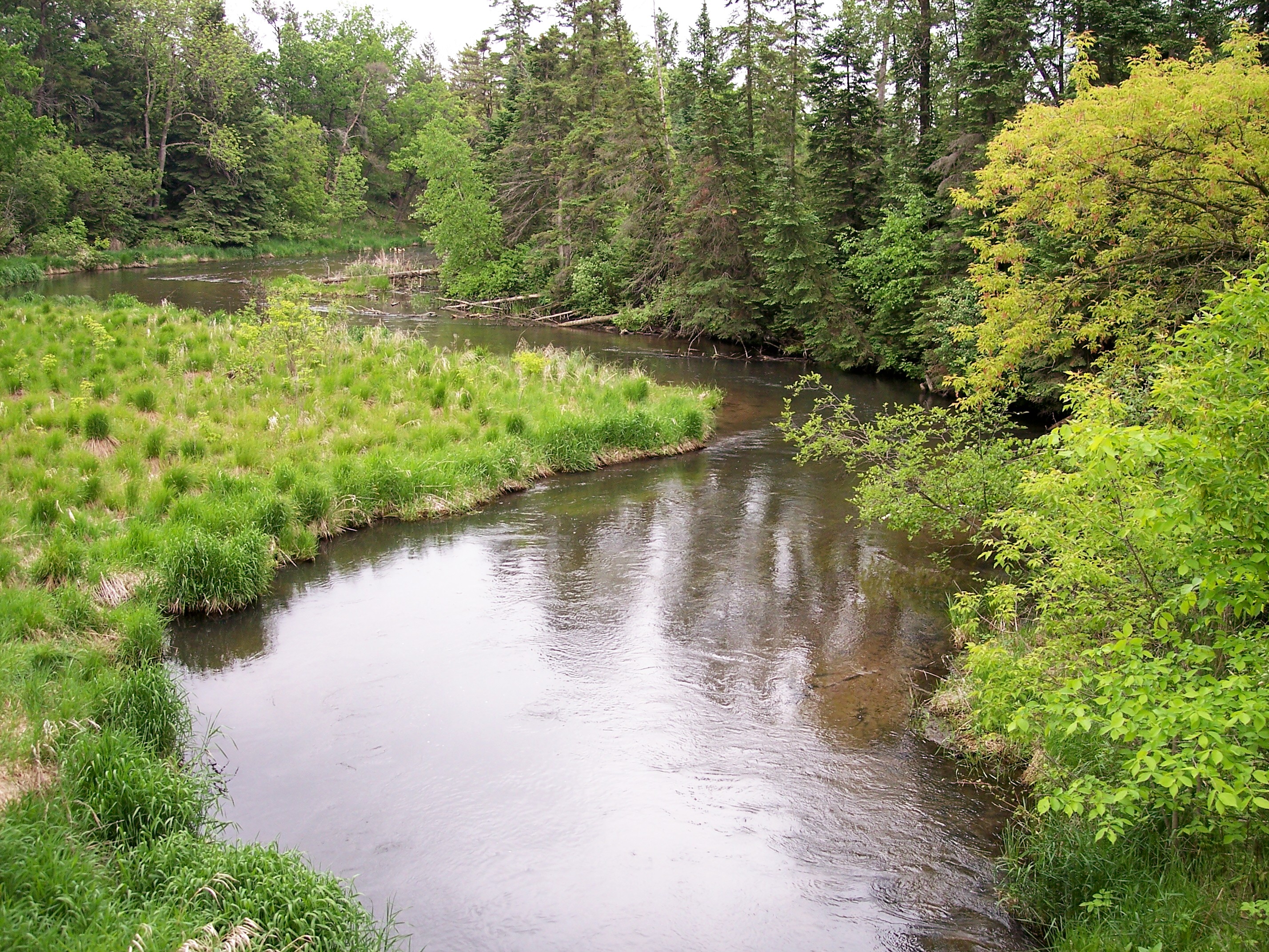
image_caption = The Straight River in Straight River Township in 2007
country = United States
state = Minnesota
region =
region1 =
district =
district1 =
city =
city1 =
length_imperial = 22.7
length_note = cite web |url= http://iaspub.epa.gov/waters/w305b_report_control.get_report?p_state=MN |title= National Assessment Database: Assessment Data for the State of Minnesota Year 2004. |pages= [http://iaspub.epa.gov/tmdl/w305b_report_V4.huc?p_huc=07010106&p_state=MN Crow Wing Watershed] |publisher=United States Environmental Protection Agency |accessdate= 2007-06-24]
watershed_imperial = 60
watershed_note = approx.cite web |url=http://pubs.usgs.gov/wdr/2005/wdr-mn-05-1/ |pages = [http://pubs.usgs.gov/wdr/2005/wdr-mn-05-1/05243725.2005.sw.pdf Straight River near Park Rapids, MN] |title=Water Resources Data in Minnesota, Water Year 2005 Annual Report. |first= G. B. |last=Mitton |coauthors=K. G. Guttormson, G. W. Stratton, E. S. Wakeman |publisher=United States Geological Survey |accessdate=2007-06-24]
discharge_location = near Park Rapids
discharge_imperial = 60.8
discharge_max_imperial = 149
discharge_min_imperial = 21
discharge_note =
discharge1_location =
discharge1_imperial =
source_name =
source_location = Pine Point Township
source_district = Becker County
source_region =
source_lat_d = 47
source_lat_m = 00
source_lat_s = 08
source_lat_NS = N
source_long_d = 95
source_long_m = 18
source_long_s = 34
source_long_EW = W
source_coordinates_note = cite web |url=Gnis3|652709 |title=Geographic Names Information System entry for Straight River (Feature ID #652709) |work=Geographic Names Information System |publisher=United States Geological Survey |accessdate=2007-06-24]
source_elevation_imperial = 1506
source_elevation_note =Google Earth elevation forGNIS coordinates. Retrieved on2007-06-24 .]
mouth_name =Fish Hook River
mouth_location = Hubbard Township
mouth_district = Hubbard County
mouth_region =
mouth_lat_d = 46
mouth_lat_m = 52
mouth_lat_s = 08
mouth_lat_NS = N
mouth_long_d = 95
mouth_long_m = 01
mouth_long_s = 55
mouth_long_EW = W
mouth_coordinates_note =
mouth_elevation_imperial = 1384
mouth_elevation_note =
tributary_left =
tributary_left1 =
tributary_right =
tributary_right1 =
free_name =
free_value =
map_size =
map_caption =The Straight River is a
tributary of theFish Hook River , 23 miles (37 km) long, in north-centralMinnesota in theUnited States . Via the Fish Hook, Shell, and Crow Wing Rivers, it is part of the watershed of theMississippi River , draining an area of approximately sixty square miles (155 km²) in a rural region. The river is known as one of Minnesota's besttrout fishing streams.cite book| last= Waters |first= Thomas F. | title= The Streams and Rivers of Minnesota |year= 2006 |publisher=University of Minnesota Press |location=Minneapolis |isbn= 0-8166-0960-8 |pages= pp. 184-194 |chapter= The Crow Wing: Oxcart to Canoe]The river's name is a translation of the Ojibwe name for Straight Lake, [cite web |url=http://mnplaces.mnhs.org/upham/index.cfm |title=Minnesota Place Names: A Geographical Encyclopedia. |accessdate=2007-06-24 |last=Upham |first=Warren |publisher=
Minnesota Historical Society |pages= [http://mnplaces.mnhs.org/upham/waterway.cfm?PlaceNameID=8791&BookCodeID=53&County=29&SendingPage=Results.cfm Hubbard County: Straight River Township] ] through which the river flows near its source.cite book| title= Minnesota Atlas & Gazetteer |year=1994 |publisher=DeLorme |location=Yarmouth, Me. |isbn= 0-89933-222-6 |pages= p. 61]Geography
The Straight River rises in the
White Earth Indian Reservation and Two Inlets State Forest, approximately six miles (10 km) northeast of Pine Point in Pine Point Township in northeastern Becker County. It flows initially southeastwardly, passing through Straight Lake, then east-southeastwardly into southwestern Hubbard County. It flows into the Fish Hook River in Hubbard Township, approximately four miles (6 km) south of Park Rapids. The river flows in the Northern Lakes and Forestsecoregion , which is characterized byconifer andhardwood forests on flat and rollingtill plain s and outwash plains. [cite web |url= http://www.pca.state.mn.us/water/basins/uppermiss/index.html |title= Upper Mississippi River Basin. |pages= [http://www.pca.state.mn.us/water/basins/uppermiss/bid-section3.pdf Upper Mississippi River Basin Water Quality Plan, Headwaters to the Rum River - Anoka, Section III: Upper Mississippi River Basin] |publisher= Minnesota Pollution Control Agency |year= 2000 |accessdate= 2007-06-24]The Straight River is fed by springs which provide water cold enough to support an abundant
trout population, and is known insport fishing for catches ofbrown trout exceeding twenty inches (50 cm) in length. The river formerly supported a population ofbrook trout which declined due to rising water temperatures. In the early 1990s a group of organizations includingTrout Unlimited sued theMinnesota Department of Natural Resources , seeking heightened protection of the Straight River; the department has since begun scrutinizing theirrigation activities of agricultural operations in the river's watershed, which may threaten the springs feeding cold water to the river. [cite news |first= Dan |last= Gunderson |title= The Straight River: In the shadow of a corporate farm |url= http://news.minnesota.publicradio.org/features/200205/06_mainstreet_rivers-m/gunderson.shtml |publisher=Minnesota Public Radio |date= 2002-05-06 |accessdate= 2007-06-24]Flow rate
At the
United States Geological Survey 'sstream gauge in Straight River Township near Park Rapids, the annual mean flow of the river between 1987 and 2005 was 60.8cubic feet per second (1.72 m³/s). The highest recorded flow during the period was 149 ft³/s (4.22 m³/s) onApril 6 ,1997 . The lowest recorded flow was 21 ft³/s (0.59 m³/s) onNovember 23 ,2003 .ee also
*
List of rivers in Minnesota References
Wikimedia Foundation. 2010.