- Moskenesøya
-
Moskenesøya 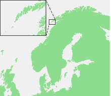

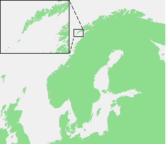
Geography Location North Norway, Europe Coordinates 67°59′N 13°00′E / 67.983°N 13°ECoordinates: 67°59′N 13°00′E / 67.983°N 13°E Archipelago Lofoten Area 186 km2 (71.8 sq mi) Highest elevation 1,029 m (3,376 ft) Highest point Hermannsdalstinden Country NorwayCounty Nordland Demographics Population 1,263
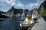
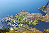
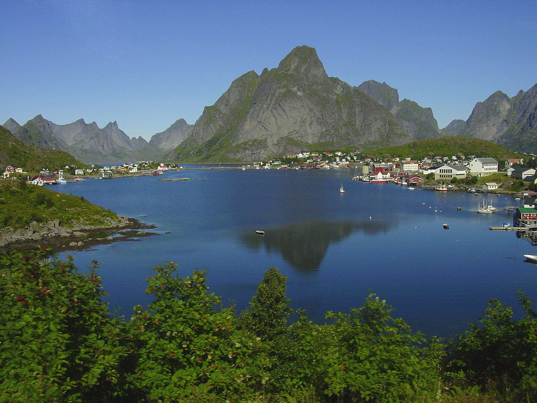
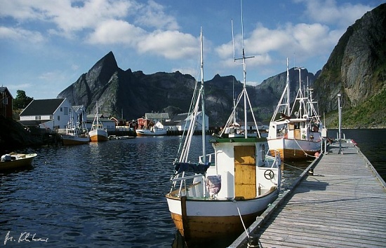
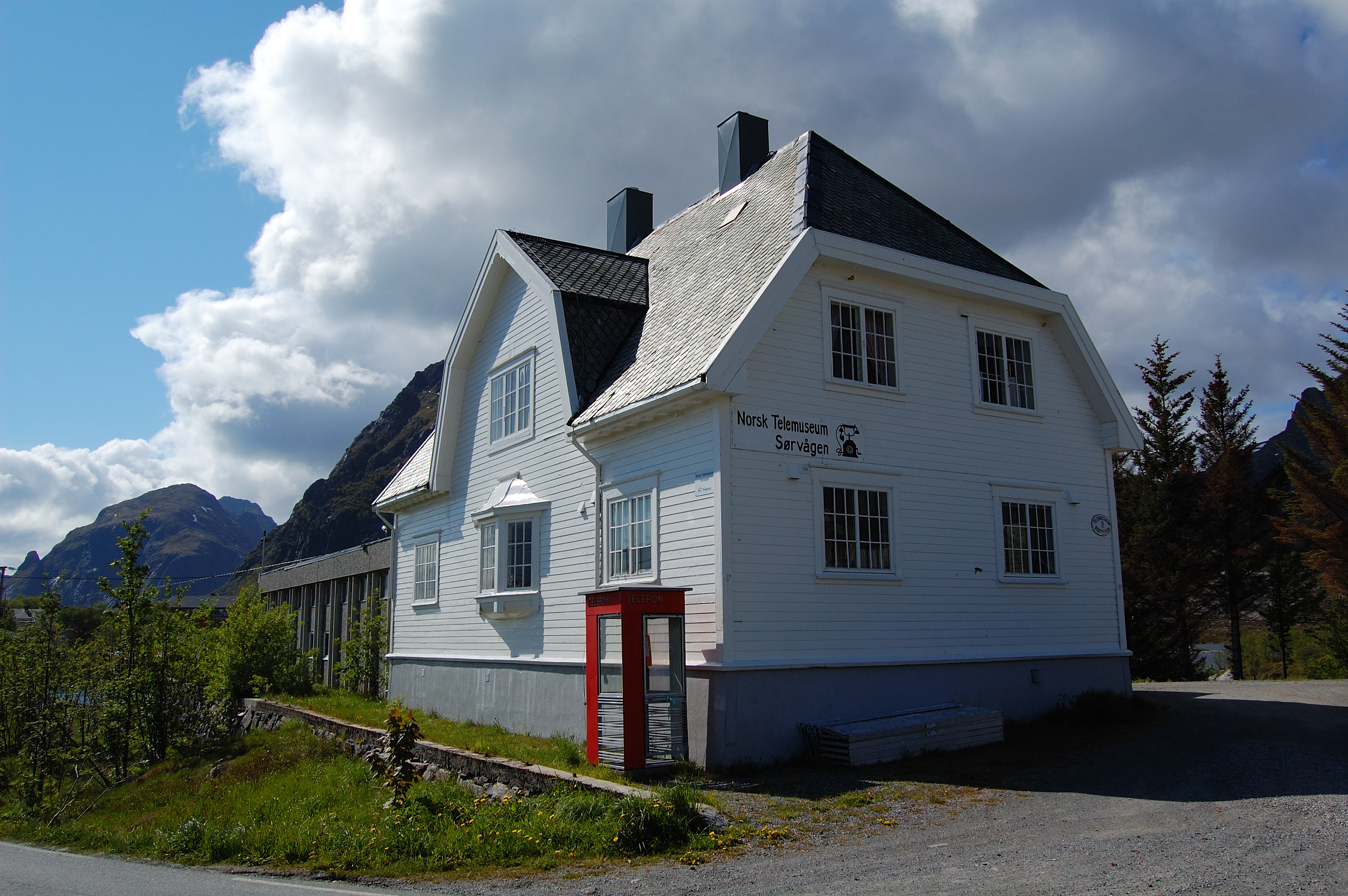
Moskenesøya (lit. The Moskenes Island) is an island in Lofoten in Nordland county of Norway. The island consists of an agglomeration of glaciated hills with the highest peak at 1,029 meters (3,376 ft) (Mt. Hermannsdalstinden).[1] It is elongated from south-west to north east, is about 40 km long and 10 km wide, and has a very uneven shoreline. The island is shared by the municipalities of Moskenes and Flakstad and is connected to the nearby island of Flakstadøya by a Kåkern Bridge – a cantilever road bridge of 303 meters length and 10 meters widths with concrete surface.[2] It is part of the European route E10 which ends on the Moskenesøya island at the village named Å.The Flakstad municipality has the administrative center at Ramberg – a village with the population of 350. The Moskenes municipality contains the villages of Å, Hamnøy, Moskenes, Reine (administrative center, population 301), Sakrisøy, Sørvågen (448 people)[3] and Tind (population 30), all located on the eastern side of the island. There were settlements on the western coast, but the last ones were abandoned in 1950s owing to severe storms.[4] Most villages are frequently visited by tourists and have designed small exhibits of local peculiarities. So Sakrisøy has a museum of 2,500 dolls from all over Europe.[5] Sørvågen contains a local department of Norsk Telemuseum (Norwegian Telecom Museum) which reflects the local history of telegraphy. In 1861, the island became part of the 170 km long Lofoten telegraph line with a station in Sørvågen (which became the Sørvågen museum in 1914), and in 1867 the line was connected with Europe. In 1906, a wireless telegraph system was installed in Sørvågen – the second in Europe after Italy – connecting Sørvågen with Røst island.[6][4]
The village of Å is a traditional fishing place and nearly its entire territory is the 150 years old Norwegian Fishing Village Museum,[7][8] which includes the Lofoten Stockfish Museum, a forge, a bakery[9] and a cod liver oil factory.[10]
In the beginning of World War II, the island was occupied by the German Army. In December 1941, it was the venue of the Operation Anklet – a British Commando raid carried out by 300 men from No. 12 Commando and the Norwegian Independent Company 1. The landing party was supported by 22 ships from three navies – British, Norwegian and Polish. As a result, two German radio transmitters were destroyed and several small boats were captured or sunk. Importantly an operational Enigma coding machine was obtained from one of the sunken German patrol ships.[11] Also, about 200 local Norwegians volunteered to serve in the Free Norwegian Forces.[12]
Moskenesøy villages 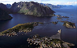

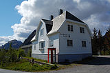
Reine Reine Hamnøy Norwegian Telecom
Museum in SørvågenVillage Å References
- ^ Matti Seppälä The physical geography of Fennoscandia, Oxford University Press, 2005, ISBN 0199245908 p. 230
- ^ Kåkern Bru
- ^ Statistics Norway (1 January 2009). "Tettsteder. Folkemengde og areal, etter kommune". http://www.ssb.no/beftett/tab-2009-06-16-01.html.
- ^ a b Moskenes municipality
- ^ Darwin Porter Frommer's Norway, 2009, ISBN 0470432136 p. 425
- ^ H. Filippo, E. Pelzers Noord Scandinavië: Lapland, Noordkaap, Lofoten, Spitsbergen, Uitgeverij Elmar, 2007, ISBN 9038917457 p. 150 (in Dutch)
- ^ Norwegian Fishing Village Museum
- ^ Norwegian Fishing Village Museum (visitnorway.com)
- ^ The bakery at Å, Moskenes, Sørvågen
- ^ The cod liver oil factory at Å, Moskenes, Sørvågen
- ^ "HMS Wheatland". Naval History. http://www.naval-history.net/xGM-Chrono-10DE-Wheatland.htm. Retrieved 18 July 2010.
- ^ "Operation Anklet". Commando operations in Norway. http://www.nuav.net/commando.html#Anklet. Retrieved 18 July 2010.
See also
Categories:


Wikimedia Foundation. 2010.