- Mitchell Falls
-
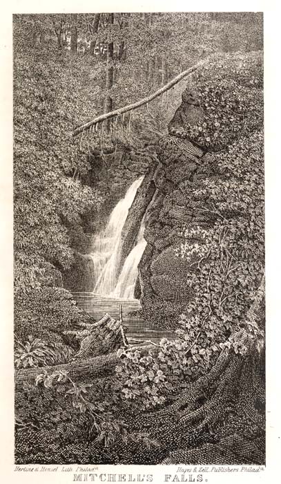
Mitchell's Falls, 1859 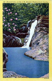
Location Blue Ridge Mountains, Yancey County, North Carolina Coordinates 35°46′26″N 82°17′01″W / 35.773945°N 82.283653°W Type Slide Total height 25 feet (7.6 m) Mitchell Falls is a 25-foot (7.6 m) waterfall located on private property in Yancey County, North Carolina on the slope of Mount Mitchell, the highest mountain in the Appalachian Mountain chain, and highest point in the eastern United States. Both the falls and the mountain are named for Elisha Mitchell, a professor who, while confirming his measurements of the mountain, fell over a rocky ledge above the falls to his death on June 27, 1857.[1]
Contents
Visiting the falls
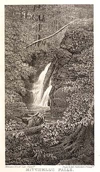 Image of Mitchell Falls from 1859 book
The falls are located on private property. Access to the falls is normally prohibited but has been allowed in the past to groups by special permission. As the landowner has been a strong, environmentally-conscious steward for the tract of land on which the falls lie, people wishing to visit the falls are highly encouraged to respect this, and not to trespass in an attempt to see the falls but wait until such a trip is organized .
Confusion
There is some confusion as to which waterfall in the area is actually Mitchell Falls. The Kevin Adams book North Carolina Waterfalls misidentified the falls from mislabeled photographs by George Masa and Rufus Morgan. The author has since updated his website with the corrected information.[2] The 45-foot falls listed in the Adams book were the falls photographed by George Masa. All three falls, Mitchell Falls, those photographed by George Masa, and those photographed by Rufus Morgan, are on private property.
Nearby falls
- Several unnamed falls, including a 45-foot (14 m) fall occasionally mislabeled as Mitchell Falls
- Walker Falls
- Douglas Falls
- Glassmine Falls
- Setrock Creek Falls
- Roaring Fork Falls
- Whiteoak Creek Falls
References
- ^ Adams, Kevin (2005). North Carolina Waterfalls. John F. Blair Publisher. pp. 153–154. ISBN 0-89587-320-6.
- ^ Kevin Adams Online Supplementary to North Carolina Waterfalls
External links
Categories:- Waterfalls of North Carolina
- Protected areas of Yancey County, North Carolina
- Pisgah National Forest

Wikimedia Foundation. 2010.