- Creigiau Gleision
-
Creigiau Gleision 
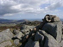
Creigiau Gleision from the southElevation 678 m (2,224 ft) Prominence 262 m (860 ft) Parent peak Carnedd Llewelyn Listing Marilyn, Hewitt, Nuttall Translation grey-green rocks (Welsh) Pronunciation Welsh: [ˈkreiɡiai ˈɡleiʃion] Location Location Conwy,  Wales
WalesRange Snowdonia Coordinates 53°08′09″N 3°54′05″W / 53.1359°N 3.9014°WCoordinates: 53°08′09″N 3°54′05″W / 53.1359°N 3.9014°W Topo map OS Explorer OL 17 OS grid SH729615 Listed summits of Creigiau Gleision Name Grid ref Height Status Creigiau Gleision North Top SH733622 634 m (2,080 ft) Hewitt, Nuttall Craiglwyn SH730608 623 m (2,044 ft) sub Hewitt, Nuttall Creigiau Gleision is a mountain in Snowdonia, Wales, near Capel Curig. It is the easternmost of the high Carneddau and is separated from the others by Llyn Cowlyd. Directly across this reservoir from Creigiau Gleision is Pen Llithrig y Wrach. To the north-east it runs into the broad ridge of Cefn Cyfarwydd.[1]
Creigiau Gleision affords splendid views in all directions, including northwards to the coast, and down the Ogwen Valley and Dyffryn Mymbyr towards Snowdon.
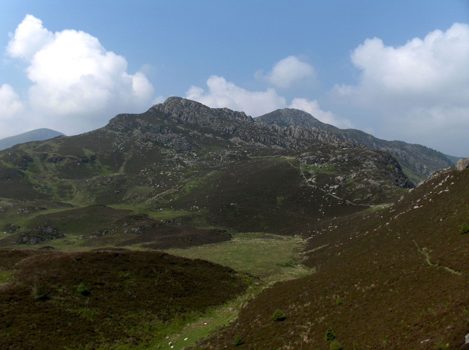
 View of the 3 peaks - looking north from the highest peak.
In fact the mountain has three peaks, hence perhaps its plural name. The most southerly peak is the highest, at 678 metres (2,224 ft), and the O.S. map also marks the northerly peak (some ½ mile distant) at 634 metres (2,080 ft). Between these two lie a middle peak, of a height between the outer two, but cairnless and unmarked on the O.S. map.
Colin Adams, author of The Mountain Walker's Guide to Wales (Gwasg Carreg Gwalch, 2002), has reached the summit of Creigiau Gleision over 450 times. On many occasions he has encountered a ghost there who has spoken to him, and although he makes no reference to this in his book, he wrote about it in 1999.[2]
External links
References
- ^ Nuttall, John & Anne (1999). The Mountains of England & Wales – Volume 1: Wales (2nd edition ed.). Milnthorpe, Cumbria: Cicerone. ISBN 1-85284-304-7.
- ^ Adams, Colin. "... Some More Favourite Haunts". The Angry Corrie: Scotland's Midge-Zone Hillzine 42 (July–Aug. 1999).
Categories:- Marilyns of Wales
- Mountains and hills of Snowdonia
- Hewitts of Wales
- Nuttalls
- Geography of Conwy
- Clwyd geography stubs

Wikimedia Foundation. 2010.