- Meon Valley Railway Line (trail)
-
See also: Meon Valley Trail (cycle trail)
Meon Valley Railway Line (trail) Length 17.5 kilometres (11 mi) Location Hampshire, England Trailheads West Meon
51°00′43″N 1°05′17″W / 51.012°N 1.088°W
Wickham
50°53′56″N 1°11′17″W / 50.899°N 1.188°WUse Hiking Season All year 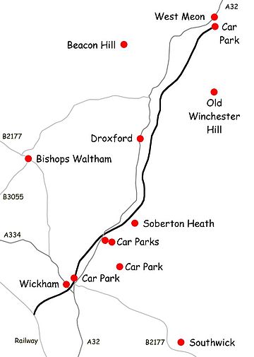 Map of the Meon Valley Railway Line
The Meon Valley Railway Line is a 17.5 km (11 mi) recreational footpath and cyclepath in Hampshire, England.[1]
The trail follows part of the bed of the former Meon Valley Railway (Alton to Fareham), which closed in 1968. It ends at West Meon due to removal of the former viaduct across the Meon Valley, and the presence of tunnels further north.
The section from West Meon south to the Eastleigh to Fareham line is open to walkers, cyclists and horse riders and uses existing public bridleways and some newly created permissive bridleways.
The route from West Meon to Wickham to is 14.5 km (9 mi); the further 3 kilometre section south-west of Wickham is a dead end.
There are free car parks at West Meon (off Station Road) and at Wickham (also off Station Road). There are also pay car parks in West Walk (part of the Forest of Bere).
The route is level but can be muddy in places. The northern section emerges from the cutting south of West Meon onto an embankment which gives views of Old Winchester Hill to the east and Beacon Hill to the west. A few former bridges on the route have been dismantled, necessitating descent to cross minor roads. There is access at several points along the route including Meonstoke which has a pub and shop. The current temporary South Downs Way route crosses the trail to the east of Exton with an access point. Ironically the bridge by which the Monarch's Way crosses the trail east of Warnford is intact with no access, but the trail can be joined by a short diversion along the South Downs Way.
Various circular routes are possible, for example using the trail from West Meon to Meonstoke, taking the South Downs Way via Corhampton and Beacon Hill, and Monarch's way to Warnford, returning by local footpaths.
The A32 main road follows a similar route to the trail.
References
External links
- Rural rides The Meon Valley Railway
- Photo of a disused railway bridge on Meon Valley trail at Garden Hill Lane
-
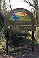
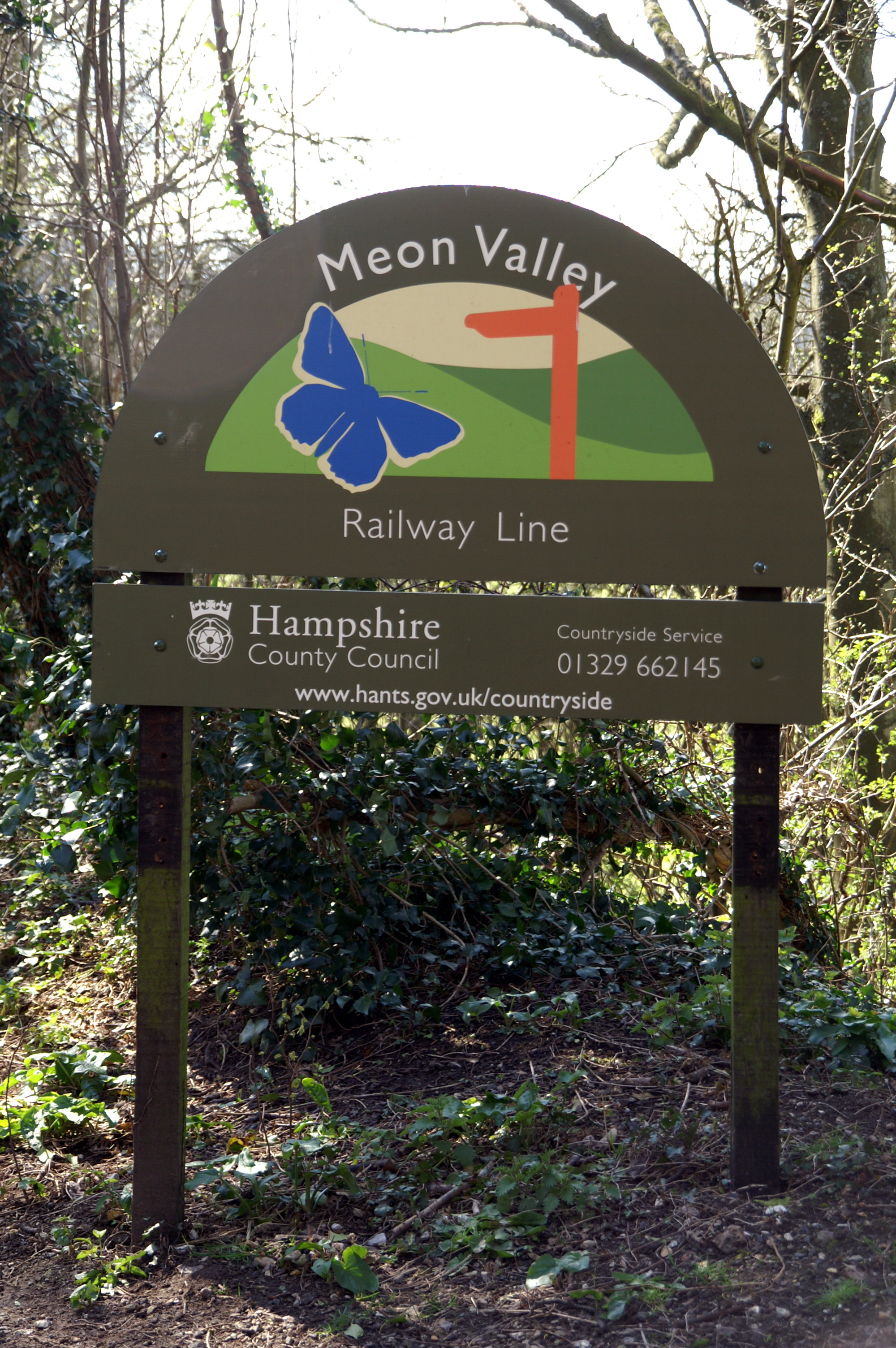
Sign near Meonstoke
-

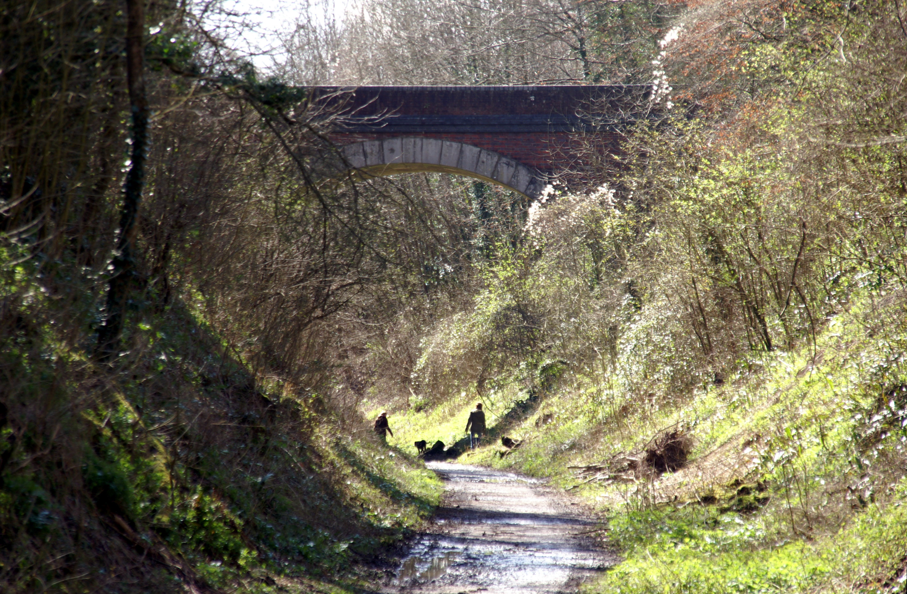
Old Winchester Hill Lane bridge, West Meon
-
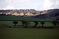
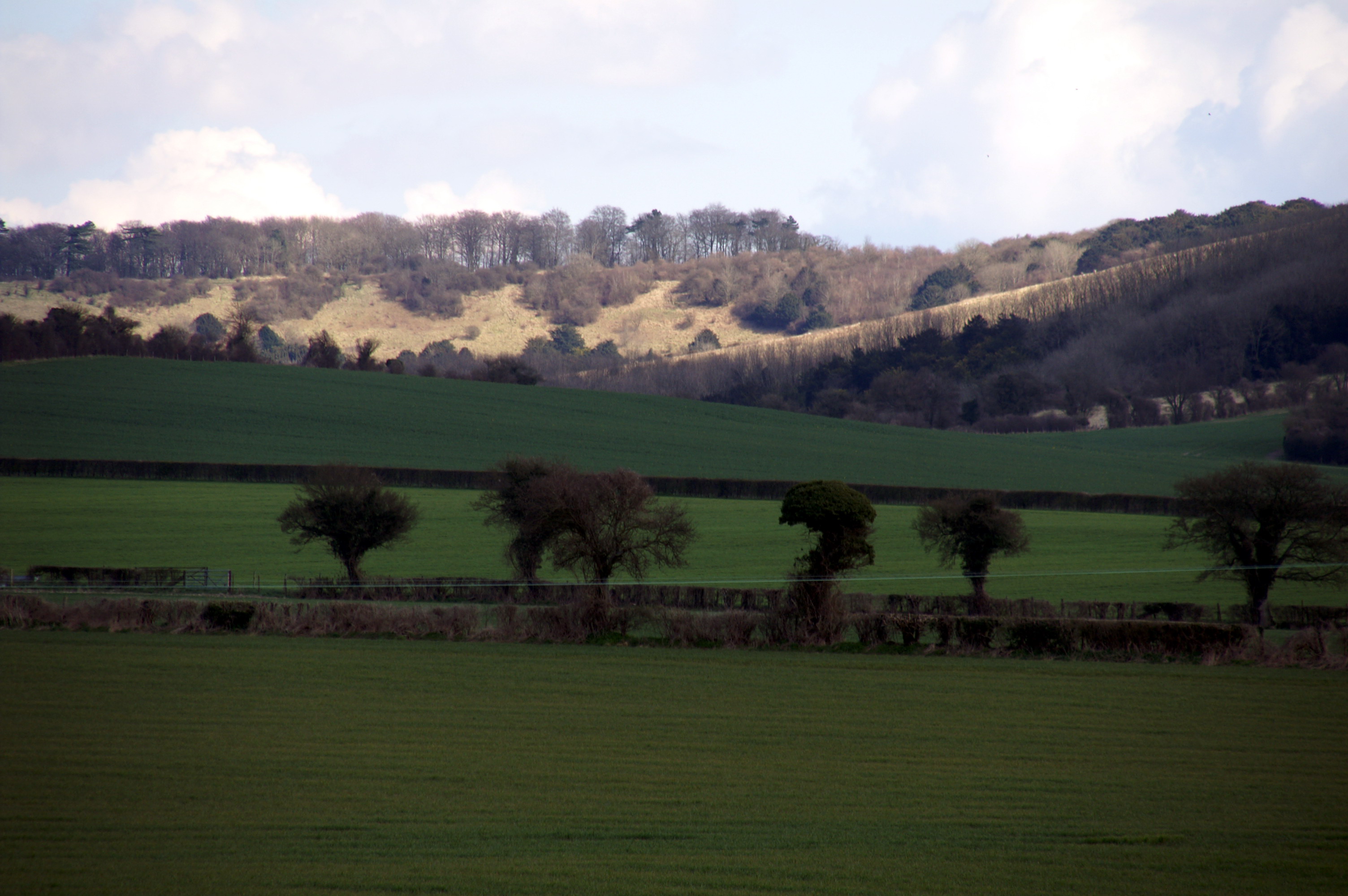
Beacon Hill from near Meonstoke
-
Old Winchester Hill from near Meonstoke
Categories:- Transport in Hampshire
- Rail trails in England
- Long-distance footpaths in England
- England stubs

Wikimedia Foundation. 2010.