- Cabinet Mountains
Geobox | Range
name = Cabinet Mountains

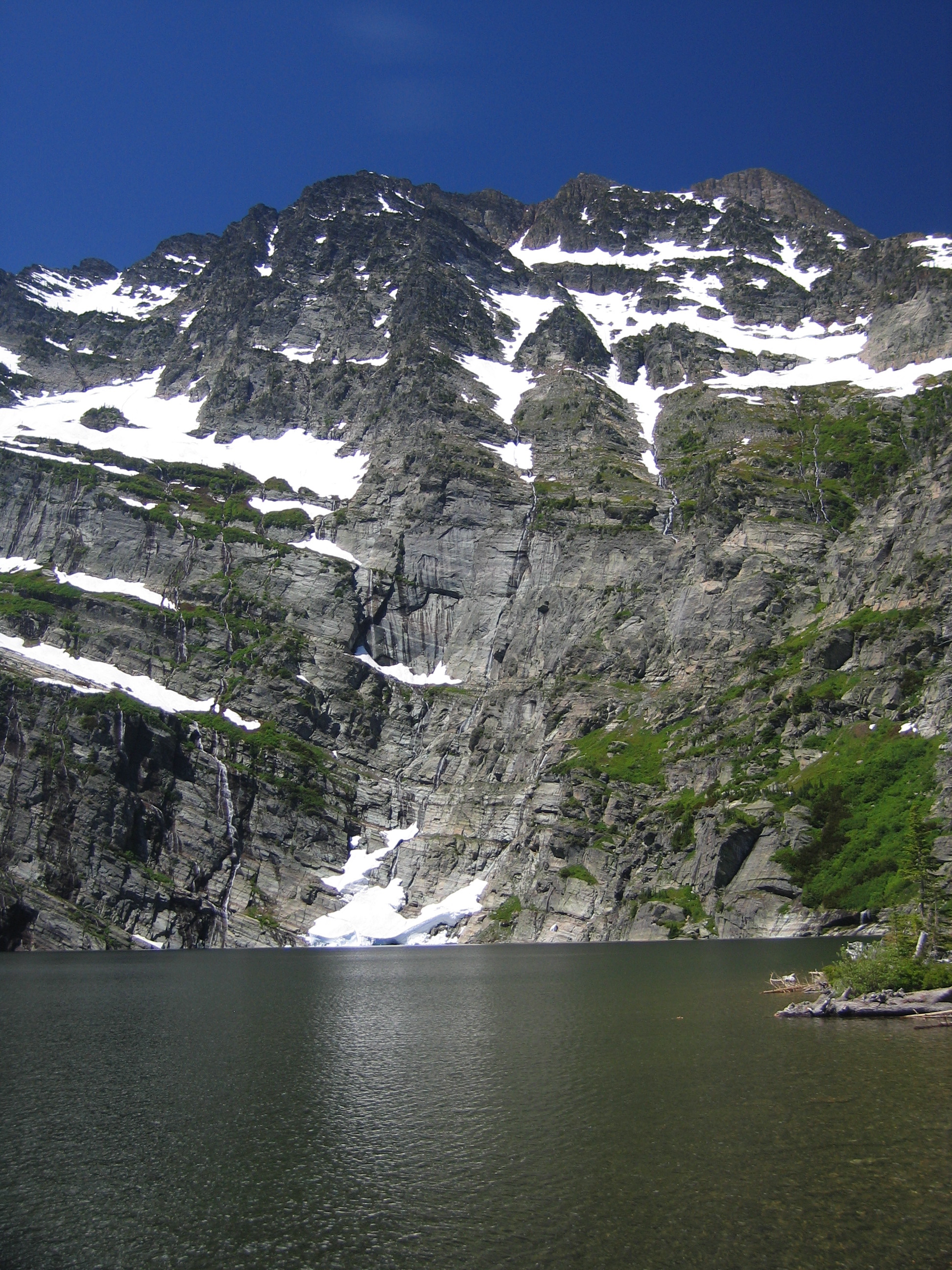
image_caption =Snowshoe Peak, highest point in the Cabinet Mountains
map_caption =
country = United States
state = Idaho
state1 = Montana
parent = Rocky Mountains
area_imperial = 2134
area_note = [http://www.peakbagger.com/range.aspx?rid=14200 Cabinet Mountains] , Peakbagger.com]
highest_name = Snowshoe Peak
highest_elevation_imperial = 8738
highest_lat_d = 48
highest_lat_m = 13
highest_lat_NS = N
highest_long_d = 115
highest_long_m = 41
highest_long_EW = W
highest_note = The Cabinet Mountains are part of theRocky Mountains , located in northwestMontana and the Idaho panhandle, in theUnited States . The mountains cover an area of 2,134 square miles (5,527 km²). The Cabinet Mountains lie south of thePurcell Mountains , between the Kootenai River and Clark Fork River and Idaho'sLake Pend Oreille .The highest peaks are
Snowshoe Peak (8,738 ft, 2,663 m) United States Forest Service. "Kootenai and East Half Kaniksu National Forests" [map] . 1:126,720. United States Forest Service, 2004.] ,A Peak (8,634 ft, 2,632 m),Bockman Peak (8,174 ft, 2,491 m), andElephant Peak (7,938 ft, 2,433 m).The Cabinets are noted, along with the nearby
Selkirk Mountains , as being some of the most "wild" mountains left in the contiguous United States. They are home toWhitetail deer ,Elk ,Moose ,Black bear ,Grizzly Bear ,Gray Wolves and many smaller species.Fact|date=April 2008Gallery
Panorama simple

fullwidth=6415 | fullheight=1762 | height=300 | width=300
caption=Panorama of the southern Cabinet Mountains.References
Wikimedia Foundation. 2010.
