- Mikołajki
-
Mikołajki 
Flag
Coat of arms
 Mikołajki
Coordinates: 53°48′N 21°35′E / 53.8°N 21.583°ECoordinates: 53°48′N 21°35′E / 53.8°N 21.583°E Country  Poland
Voivodeship Warmian-Masurian County Mrągowo Gmina Mikołajki Established 15th century Town rights 1726 Government - Mayor Piotr Jakubowski Area - Total 8.85 km2 (3.4 sq mi) Highest elevation 150 m (492 ft) Lowest elevation 116 m (381 ft) Population (2006) - Total 3,848 - Density 434.8/km2 (1,126.1/sq mi) Time zone CET (UTC+1) - Summer (DST) CEST (UTC+2) Postal code 11-730 Area code(s) +48 87 Car plates NMR Website http://www.mikolajki.pl Mikołajki [mikɔˈwai̯ki] (German:
 Nikolaiken (help·info)) is a town in Mrągowo County in the Warmian-Masurian Voivodeship in north-eastern Poland with 3,849 inhabitants. The village Zełwągi belongs to Mikołajki. The town is located near Śniardwy, the largest lake of the Masurian Lake District.
Contents
History
 Mikołajki
Mikołajki is an old Masurian church town first documented in 1444. The settlement grew during the 18th century, receiving its town privileges as Nikolaiken in 1726. Because of its location on Śniardwy, the fishery of Nikolaiken ensured continued prosperity; the whitefish of the region were especially popular throughout East Prussia.
Until 1945 the town was part of Landkreis Sensburg within East Prussia in the Kingdom of Prussia. During World War II Nikolaiken was one of the few East Prussian towns not destroyed from the fighting, and it became part of Poland as Mikołajki after war's end. The German-speaking population was evacuated and expelled by Polish and Soviet soldiers.
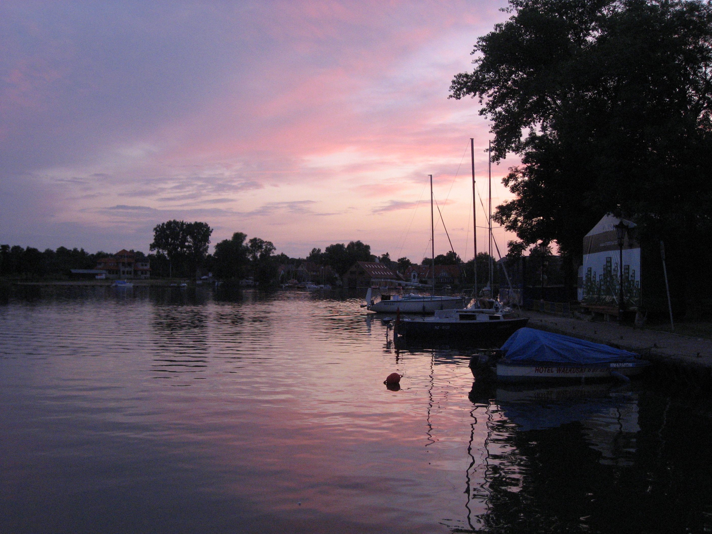
The town was a growing tourist center before the war, and is now one of the largest tourist sights in Masuria. The ice sailing in winter is an especially popular attraction.
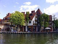
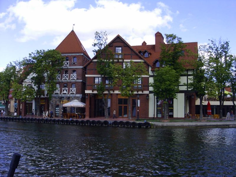
Gallery
International relations
Twin towns — Sister cities
Mikołajki is twinned with:
External links
- (English) Mikołajki, at Phorum website
 Media related to Mikołajki at Wikimedia Commons
Town and seat Mikołajki
Villages Baranowo • Cimowo • Cudnochy • Dybowo • Faszcze • Górkło • Grabek • Grabnik • Grabnik Mały • Grabówek • Grabówka • Inulec • Jora Mała • Jora Wielka • Kolonia Mikołajki • Kulinowo • Lelek • Lisiny • Lisunie • Lubiewo • Łuknajno • Łuknajno-Leśniczówka • Małaszewo • Mateuszek • Nadawki • Nowe Sady • Olszewo • Osa • Prawdowo • Pszczółki • Sady • Śmietki • Śmietki Małe • Stawek • Tałty • Tałty SHR • Urwitałt • Woźnice • Zełwągi • Zielony GajCategories:- Cities and towns in Warmian-Masurian Voivodeship
- Mrągowo County
- Warmian-Masurian geography stubs
-


Wikimedia Foundation. 2010.