- Benešov
:"See other locations named Benešov."Geobox|Settlement
name = Benešov
native_name =
other_name =
category = Town
etymology =
official_name =
motto =
nickname =
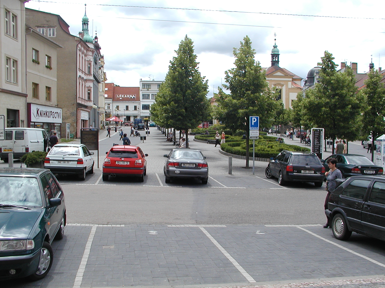
| image_caption = Masaryk Square
 | flag_border =
symbol = Benesov CoA CZ.svg
country = Czech Republic | country_
state =
region = Central Bohemian | region_type = Region
district = Benešov | district_type = District
municipality =
landmark =
river =
location =
elevation = 360
lat_d = 49| lat_m = 46| lat_s = 58| lat_NS = N
long_d = 14| long_m = 41| long_s = 19| long_EW = E
coordinates_type =
highest =
highest_location =
highest_elevation =
highest_lat_d = | highest_lat_m = | highest_lat_s = | highest_lat_NS =
highest_long_d = | highest_long_m = | highest_long_s = | highest_long_EW =
highest_coordinates_type =
lowest =
lowest_location =
lowest_elevation =
lowest_lat_d = | lowest_lat_m = | lowest_lat_s = | lowest_lat_NS =
lowest_long_d = | lowest_long_m = | lowest_long_s = | lowest_long_EW =
lowest_coordinates_type =
length =
width =
area = 46.87 | area_round = 2
population = 16208 | population_as_of = 2005
population_density = auto
established =11th century | established_type = Founded
established1 = | established1_type =
date =
mayor = Petr Kouba
timezone = | utc_offset =
timezone_DST = | utc_offset_DST =
postal_code = 256 01
area_code =
code =
free =

map_background = Czechia - background map.png
map_locator = Czechia
map1 =
map1_background =
map1_caption =
map1_locator =
website = [http://www.benesov-city.cz/ www.benesov-city.cz]
commons = Benešov
footnotes =Benešov (IPA2|ˈbɛnɛʃof, _de. Beneschau) is a town in the
Central Bohemian Region ,Czech Republic , about 40 km southeast ofPrague . TheKonopiště castle and the Czech national mountainBlaník are near the town.Benešov began to be settled in the
11th century .External links
* [http://www.benesov-city.cz/ Municipal office]


Wikimedia Foundation. 2010.