- Nagyigmánd
-
Nagyigmánd Location of Nagyigmánd
 Nagyigmánd
Coordinates: 47°37′57″N 18°03′20″E / 47.63253°N 18.05569°ECoordinates: 47°37′57″N 18°03′20″E / 47.63253°N 18.05569°E Country  Hungary
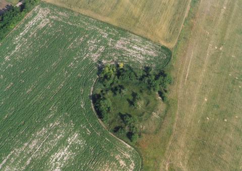
County Komárom-Esztergom Area – Total 51.39 km2 (19.8 sq mi) Population (2004) – Total 3,166 – Density 61.6/km2 (159.5/sq mi) Time zone CET (UTC+1) – Summer (DST) CEST (UTC+2) Postal code 2942 Area code(s) 34 Nagyigmánd is a village in Komárom-Esztergom county, Hungary. It is the site of an ancient earthwork fort.

References
External links
Categories:- Populated places in Komárom-Esztergom county
- Komárom-Esztergom geography stubs

Wikimedia Foundation. 2010.