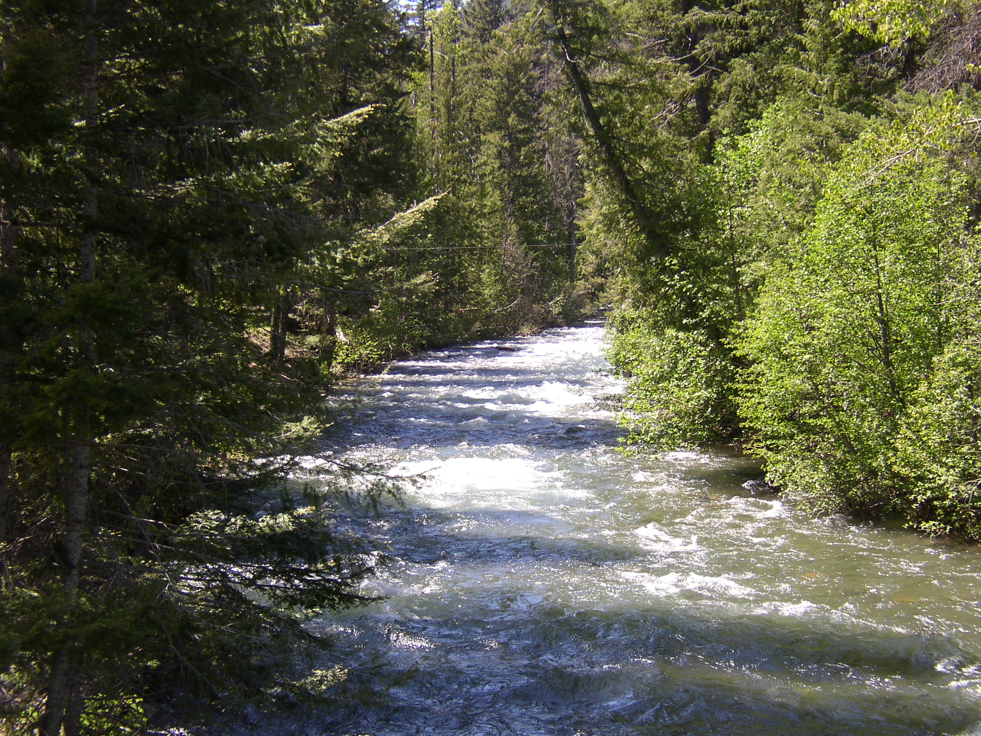
- Bumping River
Geobox River
name = Bumping River
native_name =
other_name =
other_name1 =

image_size =
image_caption =
country = United States
country1 =
state = Washington
state1 =
region = Yakima County
region1 =
district =
district1 =
city =
city1 =
length_imperial = 25
length_note = Gnis|1517093|Bumping River, USGS, GNIS.]
watershed_imperial =
discharge_location = Bumping Lake Dam
discharge_imperial = 282
discharge_max_imperial =
discharge_min_imperial =
discharge_note = [ [http://www.usbr.gov/pn/hydromet/yakima/yaktea.html Major Storage Reservoirs] , Yakima Project,United States Bureau of Reclamation .]
discharge1_location =
discharge1_imperial =
source_name = Cascade Range
source_location =
source_district =
source_region =
source_state =
source_country =
source_lat_d = 46
source_lat_m = 45
source_lat_s = 34
source_lat_NS = N
source_long_d = 121
source_long_m = 26
source_long_s = 19
source_long_EW = W
source_coordinates_note = Gnis|1517093|Bumping River, USGS, GNIS.]
source_elevation_imperial = 4155
source_elevation_note =Google Earth elevation for GNIS coordinates.]
source_length_imperial =
mouth_name = Naches River
mouth_location =
mouth_district =
mouth_region =
mouth_state =
mouth_country =
mouth_lat_d = 46
mouth_lat_m = 59
mouth_lat_s = 18
mouth_lat_NS = N
mouth_long_d = 121
mouth_long_m = 5
mouth_long_s = 38
mouth_long_EW = W
mouth_coordinates_note =
mouth_elevation_imperial = 2555
mouth_elevation_note =
tributary_left = American River
tributary_left1 =
tributary_right =
tributary_right1 =
free_name =
free_value =
map_size =
map_caption = The Bumping River is atributary of theNaches River , inWashington in theUnited States . It flows down the east side of theCascade Range , throughWenatchee National Forest and theWilliam O. Douglas Wilderness . From its source at Fish Lake near Crag Mountain, it flows northeast toBumping Lake , a natural lake enlarged and regulated by Bumping Lake Dam. Below the dam, the Bumping River continues flowing northeast. It is joined by the American River, its main tributary, a few miles above its mouth where it joins the Little Naches River to form theNaches River .Bumping River is part of the
Columbia River basin, being a tributary of the Naches River, which is tributary to theYakima River , which is tributary to the Columbia River.Variant names listed by the USGS for the Bumping River include Tancum River and Tanum River.
References
External links
* [http://www.usbr.gov/dataweb/dams/wa00263.htm Bumping Lake Dam] ,
United States Bureau of Reclamation
Wikimedia Foundation. 2010.
