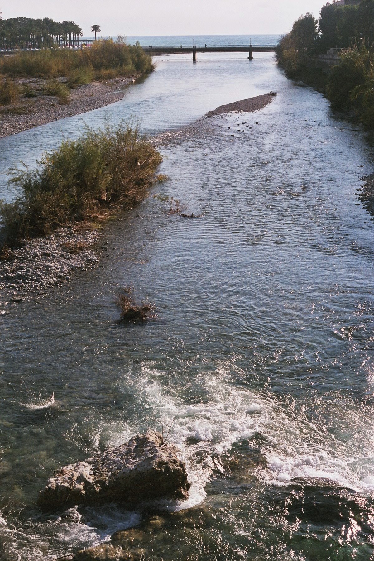
Roya — See also the disambiguation page Roia.Roya may refer to: *Roya (name), a female proper name, of Arabic and Persian origin, meaning sweet dream , premonition, or vision. It is used mainly in Central Asia, Afghanistan, Persia, and Turkey *Roya… … Wikipedia
Breil-sur-Roya — Infobox Commune de France nomcommune=Breil sur Roya région=Provence Alpes Côte d Azur département=Alpes Maritimes arrondissement=Arrondissement de Nice canton=Breil sur Roya insee=06023 cp=06540 gentilé=Breillois maire=Joseph Ghilardi mandat=2001 … Wikipedia
Tanaro River — Infobox River | river name = Tanaro caption = origin = Ligurian Alps, on the slopes of Monte Saccarello elevation = mouth = Po near Bassignana (AL) basin countries = Italy length = 276 km discharge = 123 m³/s watershed = 8,234 km² The Tanaro… … Wikipedia
Bendola — Infobox River | river name = Bendola caption = origin = Ligurian Alps mouth = Roya River basin countries = France length = 16 km elevation = discharge = watershed = The Bendola is a river that flows through the Alpes Maritimes department of… … Wikipedia
Maglia — Mouth Roya River 43°57′10″N 7°31′13″E / … Wikipedia
Lévensa — Infobox River | river name = Lévensa caption = origin = mouth = Roya River basin countries = France length = 12 km elevation = discharge = watershed = The Lévensa is a mountain river that flows through the Alpes Maritimes department of… … Wikipedia
Réfréi — Infobox River | river name = Réfréi caption = origin = mouth = Roya River basin countries = France length = 13 km elevation = discharge = watershed = The Réfréi is a river that flows through the Alpes Maritimes department of southeastern France.… … Wikipedia
Tende — French commune nomcommune=Tende région=Provence Alpes Côte d Azur département=Alpes Maritimes arrondissement=Nice canton=Tende insee=06163 cp=06430 maire=Jean Pierre Vassallo mandat=2001 2008 intercomm= longitude=7.59416666667… … Wikipedia
Valleys of the Alps — The main valleys of the Alps, orographically by drainage basin.Rhine basin (North Sea)Rhine *Aare **Limmat ***Linth (Glarus) ****Lake Walen *****Seez ****Klöntal ****Sernftal **Reuss River ***Lake Lucerne ****Sarner Aa (Brünig connects to the… … Wikipedia
Bévéra — Infobox River | river name = Bévéra caption = origin = Maritime Alps mouth = Roya coord|43|49|19|N|7|35|3|E|name=Roya Bévéra|display=inline,title basin countries = France length = elevation = discharge = watershed = The Bévéra ( it. Bevera) is a… … Wikipedia

