- Chak 132 S.B
-
 Chak I32 Ner Base Line.
 Chak I32 Ner Base Line.
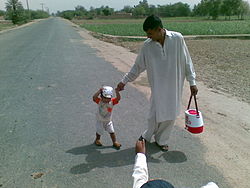
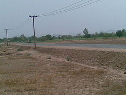
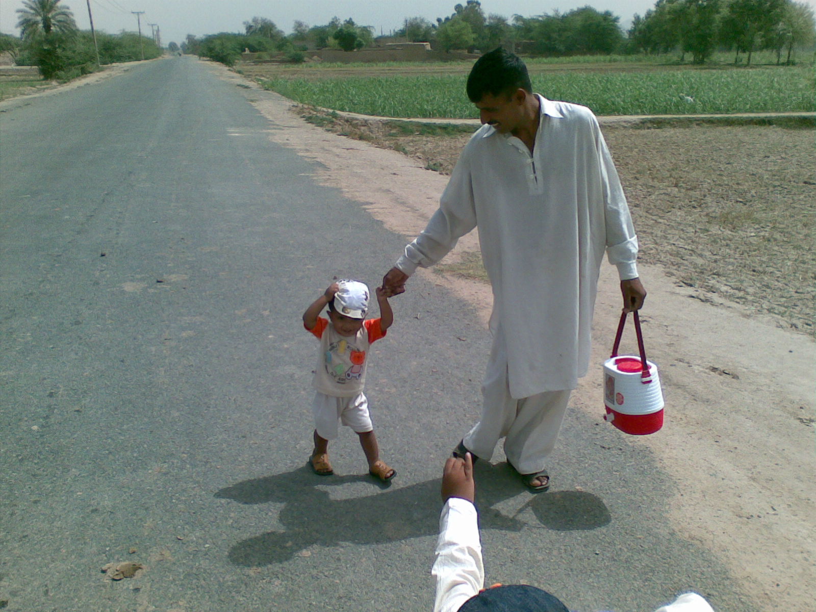
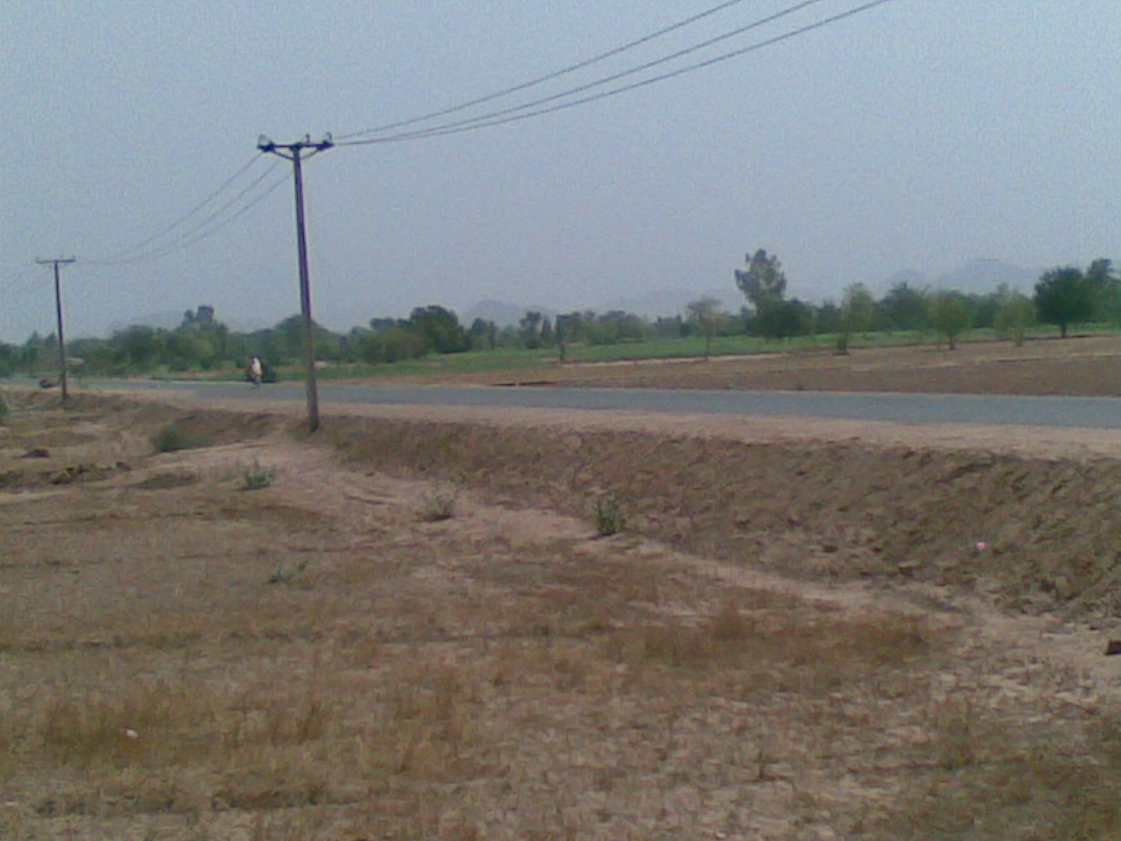
Chak 132 S.B - village is situated at Latitude 31° 49' 60N and 72° 37' 60E Longitude [1] in Sillanwali Tehsil of Sargodha District in Punjab, Pakistan, it is an agricultural area
Being a part of Kirana Bar it was colonised by the British after World War I, all of the village land was handed over to retired armed personnels of the British Army, and the original inhabitants of this village forcibly evicted and their lands seized.
Post Independence
After independence in 1947, many Muslim refugees from India, settled in this area, most of whom were from the Amritsar, Jalandhar, and Sialkot districts of united Punjab.
Today most of the land owning families belong to Arain, Rajput, Jat and Pashtun communities. While labourers have settled from the adjoining areas of district Jhang belonging to Syal and Muslim Shaikh communities. The nearest city is Sillanwali which is also the Tehsil headquarters and police station. The village also owns a Boys Intermediate College, boys High School, Boys Primary School and Girls Primary and higher Secondary school.==References==
External links
Towns and cities of Sargodha Towns 46 Adda · Chak 21 S.B. · Aminabad Noon · Ali Pur Noon · Atta Abad Noon · Bakhar Bar · Batree Shahabdin Di · Bhalwal · Bhera · Ali Pur Syedan · Ranjhianwala · Sheikh Da Lok · Kasu Pur (Dulhar) · Turti pur · Kohlian · Chak No.96 S.B · Chack No 111 N.B · Chack No 113 N.B · Chack No 135 S.B · Chack No. 112 N.B · Chack No. 129 S.B · Chack No. 7 N.B · Chak 104 NB · Chak 132 S.B · Chak 8ML · Chak No 71 NB · Chauki Bhagatt · Chawa · Faruka · Fateh Pur Noon · Ghorh Pur Noon · Hathi Wind · Haveli Majoka · Islam Pur Lokari · Jahanian Shah · Jhawarian · Kalra · Khair Pur Noon · Khan Muhammad Wala · Kikrawn Wala Noon · Kot Hakim Khan Noon · Kot Momin · Lak More · Lakhiwal Sharif · Lilyani · Mari Shah Sakhira · Middh Ranjha · Mitha Lak · Mitha Tiwana · Nihang · Nurpur Noon · Phularwan · Pind Rahim Shah · Pul 11 · Sahiwal · Sardar Pur Noon · Sargodha · Shah Nikdar · Shaheenabad · Shahpur · Share Muhammad Wala Noon · Sheikhpu Kuhna · Sillanwali · Talbey Wala Pattan · Thatti Noor Dee · Zaffer Abad NoonCoordinates: 31°50′00″N 72°38′00″E / 31.8333°N 72.6333°E
syed zulfiqar ali shah son of syed Hakeem shah Bukhari
132 sB
Categories:- Jhangochi Dialect speaking areas
- Populated places in Sargodha District
- Punjab, Pakistan geography stubs
Wikimedia Foundation. 2010.