- Delaware Route 58
-
Delaware Route 58
Route information Maintained by DelDOT Length: 3.86 mi[1] (6.21 km) Major junctions West end:  DE 4 in Christiana
 DE 1 / DE 7 in Christiana
 I-95 in Christiana
 DE 37 near New Castle Airport
East end:  DE 273 near Hares Corner
Highway system ←  DE 54
DE 54DE 62  →
→Delaware Route 58 (DE 58), also known as Churchmans Road, is a state highway in New Castle County, Delaware. The route runs from Delaware Route 4 adjacent to the Christiana Hospital in Christiana to Delaware Route 273 near Hares Corner. Churchmans Road was originally a county road that was paved in the 1930s and realigned twice in the 1950s. DE 58 was designated onto it in the 1980s.
Contents
Route description
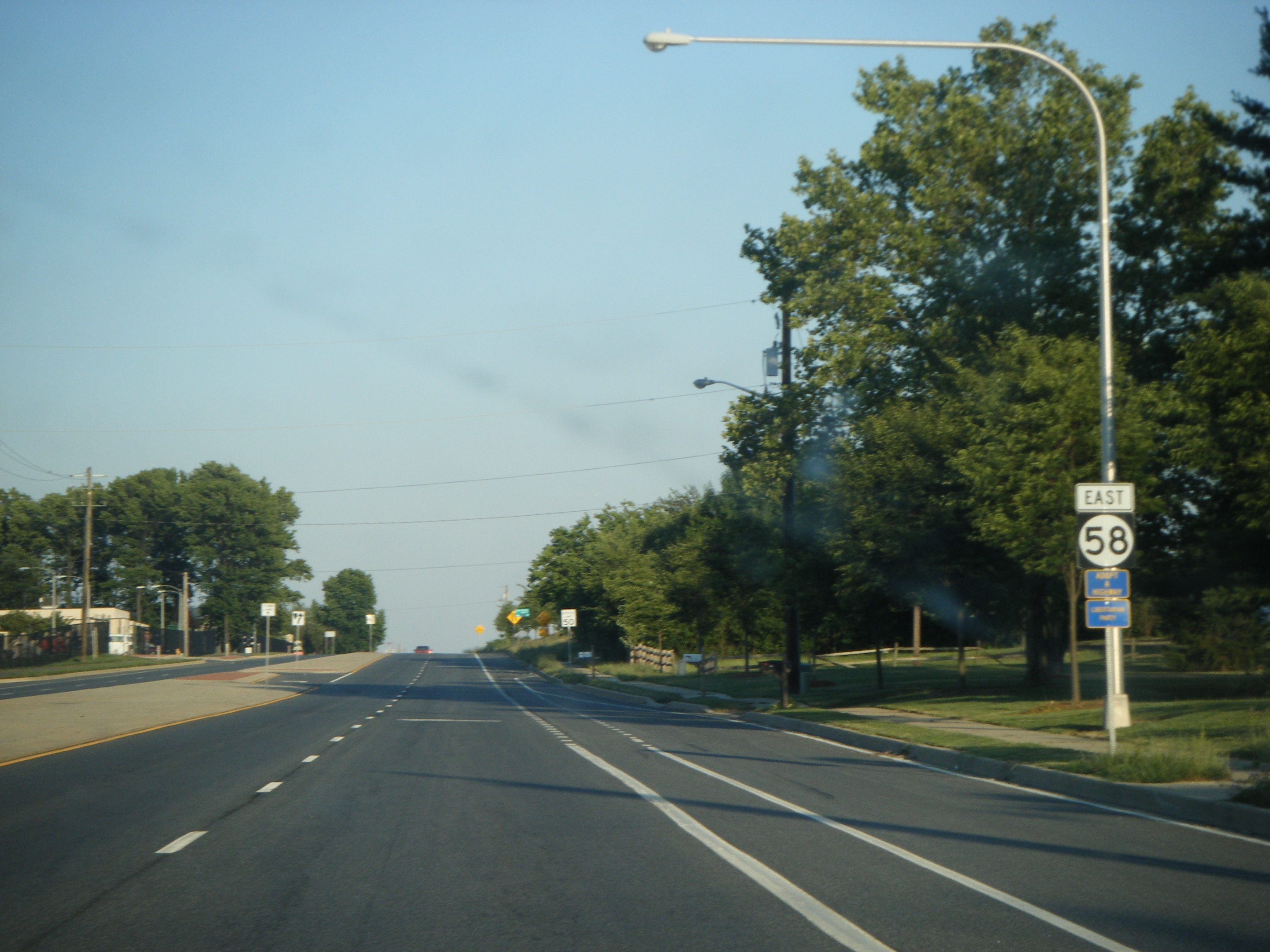
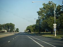 DE 58 eastbound past DE 37
Delaware Route 58 heads to the east from DE 4 on a four-lane, divided highway. It heads east through commercial development to an interchange with Delaware Routes 1 and 7 in Christiana. Just east of that interchange, DE 58 passes by the Stanton campus of Delaware Technical and Community College and then passes over Interstate 95, where there is a ramp from I-95 southbound to Delaware Route 58 westbound. This is the only direct ramp between Delaware Route 58 and I-95, as all other access between the two routes must be made via Routes 1 and 7.[1][2]
Past I-95, DE 58 heads to the southeast, crosses the Christina River, and intersects Delaware Route 37 (Airport Road). Past the intersection with Delaware Route 37, Delaware Route 58 heads to the southeast and skirts the edge of New Castle Airport. It then passes through light industrial development and continues to its terminus at Delaware Route 273.[1][2]
History
What is now DE 58 existed as a county road by 1920.[3] The entire road was paved by 1936.[4] By 1952, the current alignment of Churchmans Road was constructed around New Castle Airport, with a portion of the original road being removed.[5] The current alignment of Churchmans Road west of DE 7 was built by 1954.[6] DE 58 was designated onto its current alignment in 1985.[7]
Major intersections
The entire route is in New Castle County.
Location Mile[1] Road Notes Christiana 3.86 DE 4 (Stanton Road)Western terminus 3.03 DE 1 / DE 7Interchange 2.53 I-95Ramp from I-95 south to DE 58 west New Castle Airport 1.14 DE 37 (Airport Road)Hares Corner 0.00 DE 273 (Christiana Road)Eastern terminus 1.000 mi = 1.609 km; 1.000 km = 0.621 mi See also
 U.S. Roads portal
 Delaware portal
References
- ^ a b c d http://www.deldot.gov/information/pubs_forms/manuals/traffic_counts/2006/pdf/rpt_pgs1_38_rev.pdf DelDOT 2006 Traffic Count and Mileage Report
- ^ a b Google, Inc. Google Maps – overview of Delaware Route 58 (Map). Cartography by Google, Inc. http://maps.google.com/maps?f=d&source=s_d&saddr=DE+4+and+DE+58&daddr=DE+58+and+DE+273&geocode=FResXQIdWGJ9-ykbIhIN_QDHiTGW-geWMpOLzg%3BFaY-XQId4UR--ynP3UgS5QPHiTEKI7uXgDWrOg&hl=en&mra=ls&sll=39.746805,-75.619275&sspn=0.030093,0.084543&ie=UTF8&t=h&z=14. Retrieved February 6, 2011.
- ^ Delaware Department of Transportation (PDF). Delaware Official Highway Map (Map) (1920 ed.). http://www.deldot.gov/archaeology/historic_pres/historic_highway_maps/pdf/cd_002.pdf. Retrieved April 15, 2010.
- ^ Delaware Department of Transportation (PDF). Delaware Official Highway Map (Map) (1936/37 ed.). http://www.deldot.gov/archaeology/historic_pres/historic_highway_maps/pdf/cd_008.pdf. Retrieved April 15, 2010.
- ^ Delaware Department of Transportation (PDF). Delaware Official Highway Map (Map) (1952/53 ed.). http://www.deldot.gov/archaeology/historic_pres/historic_highway_maps/pdf/cd_026.pdf. Retrieved February 6, 2011.
- ^ Delaware Department of Transportation (PDF). Delaware Official Highway Map (Map) (1954/55 ed.). http://www.deldot.gov/archaeology/historic_pres/historic_highway_maps/pdf/cd_028.pdf. Retrieved February 6, 2011.
- ^ Delaware Department of Transportation (PDF). Delaware Official Highway Map (Map) (1985 ed.). http://www.deldot.gov/archaeology/historic_pres/historic_highway_maps/pdf/cd_060.pdf. Retrieved April 15, 2010.
External links
 Media related to Delaware Route 58 at Wikimedia CommonsCategories:
- State highways in Delaware
- Transportation in New Castle County, Delaware

Wikimedia Foundation. 2010.