- České Středohoří
-
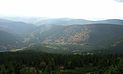
Central Bohemian Uplands (České středohoří) Mountain Range  Milešovka (left) and Kletečná as seen from Lovoš
Country Czech Republic Regions Ústí nad Labem, Liberec Part of Krušné Hory Subprovince Parts Milešovské středohoří, Verneřické středohoří Highest point Milešovka - elevation 836 m (2,743 ft) - coordinates 50°33′19″N 13°55′54″E / 50.555233°N 13.931533°E Area 1,266 km2 (489 sq mi) Geology basalt 
 Location of the České Středohoří in brown in the Czech Republic
České středohoří or Central Bohemian Uplands[1] is a mountain range located in northern Bohemia, Czech Republic. The range is about 80 km long, spanning from Česká Lípa (northeast) to Bílina (southwest) and from Litoměřice (south) to Děčín (north), intersected by the river Elbe.
The name středohoří can be roughly translated into English as "middle mountains". However, the sense of the word "middle" is in this context often misunderstood as being located in the middle of Bohemia. In fact, the designation refers to moderate elevation of the mountains. Another translation is "uplands" (as opposed to "highlands").
České středohoří is a nature reserve (Czech: Chráněná krajinná oblast (abbr. CHKO), and the D8 motorway connecting Prague and Dresden is to traverse the mountains. This led to a number of controversies, and as of 2010, the České středohoří is the last section of the D8 under construction.
In the development of the game ARMA 2 data of this area was used to create the landscape for the game.
-

České středohoří from Házmburk
-

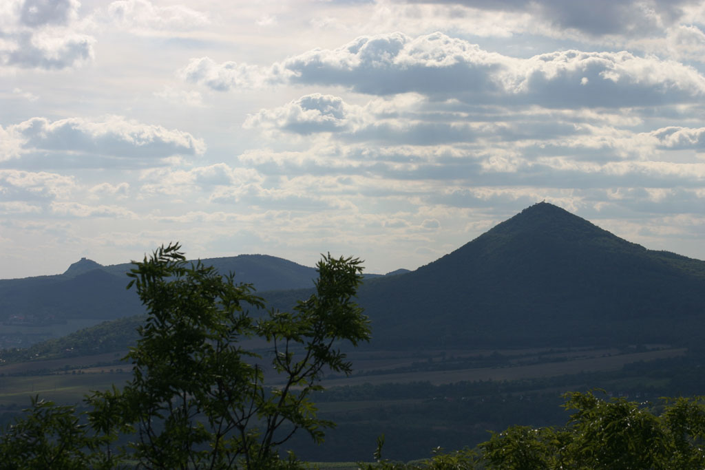
Lovoš
-

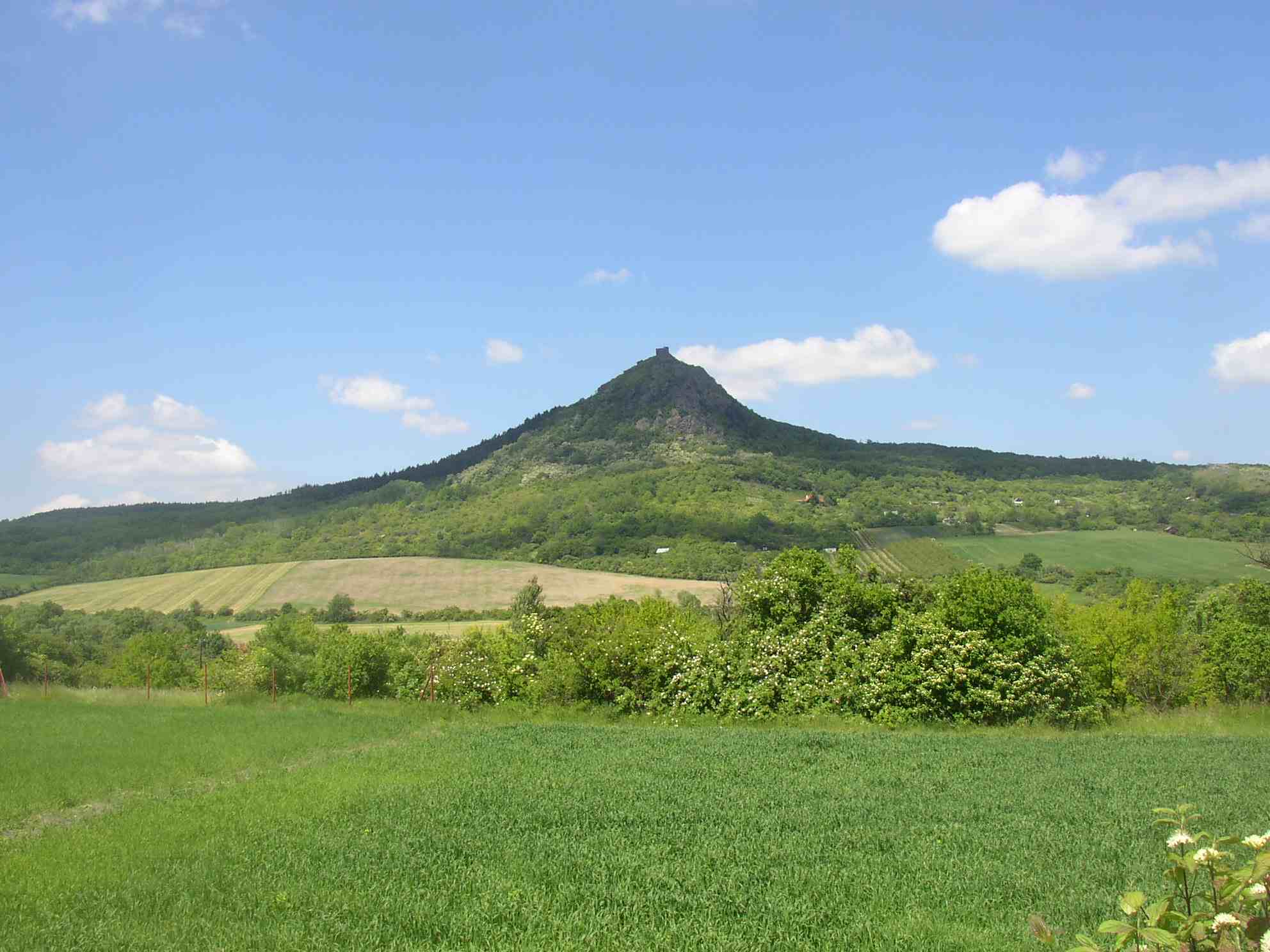
Košťálov
References
- ^ The Central Bohemian Uplands and Žatecko at www.czecot.com. Accessed on 28 Feb 2011.
External links
Coordinates: 50°34′N 14°56′E / 50.567°N 14.933°E
Bohemian Forest | Bohemian-Moravian Highlands | Brdy | Brno Highlands | Central Bohemian Uplands (České středohoří) | Doupov Mountains | Elbe Sandstone Mountains | Fichtelgebirge (Smrčiny) | Giant Mountains (Krkonoše) | Hostýnsko-vsetínská hornatina | Hrubý Jeseník | Javorníky | Jizera | Lusatian Mountains | Moravian-Silesian Beskids | Ore Mountains (Krušné hory) | Upper Palatinate Forest
 Categories:
- Mountain ranges of the Czech Republic
- Czech Republic geography stubs
-


Wikimedia Foundation. 2010.