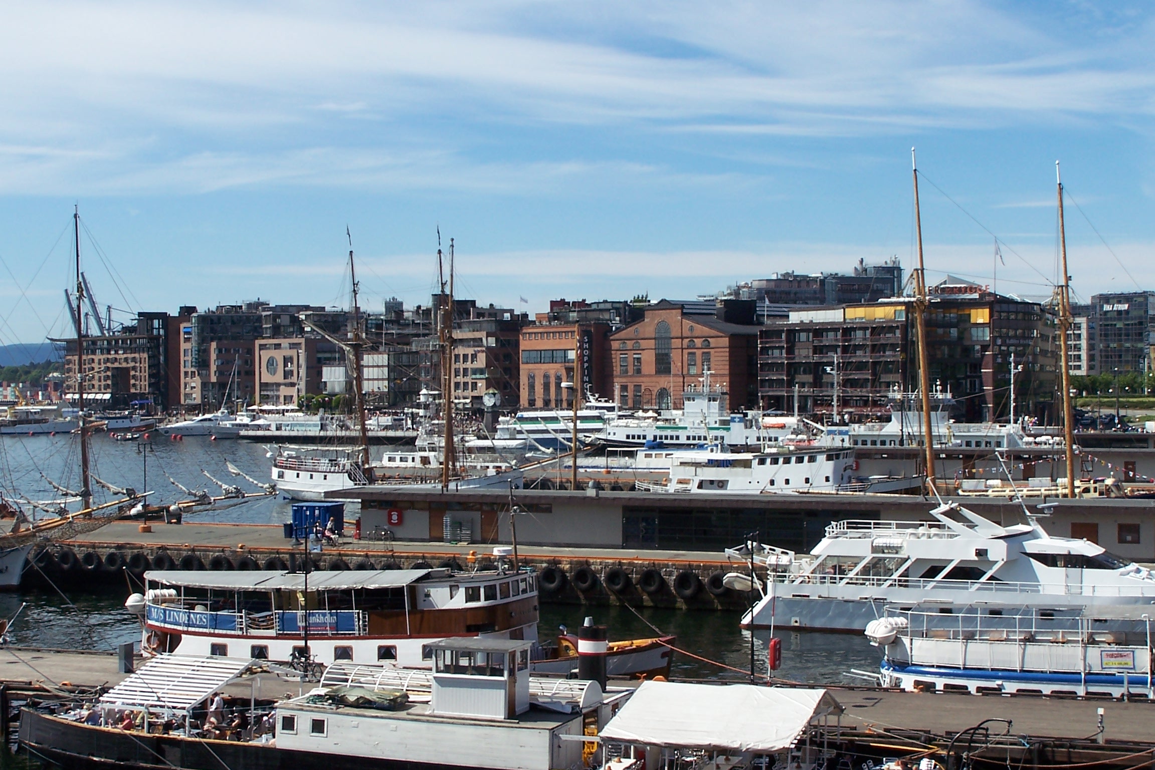
- Aker Brygge
Infobox Settlement
name = Aker Brygge
official_name =
other_name =
native_name =
nickname =
settlement_type =
total_type =
motto =
imagesize =
image_caption = View of Aker Brygge fromAkershus Fortress
flag_size =
image_
seal_size =
image_shield =
shield_size =
image_blank_emblem =
blank_emblem_type =
blank_emblem_size =
mapsize =
map_caption =
mapsize1 =
map_caption1 =
image_dot_
dot_mapsize =
dot_map_caption =
dot_x = |dot_y =
pushpin_
pushpin_label_position = bottom
pushpin_map_caption = Location in Oslo
pushpin_mapsize =
subdivision_type = Country
subdivision_name = Norway
subdivision_type1 = County
subdivision_name1 =Oslo
subdivision_type2 = Municipality
subdivision_name2 =Oslo
subdivision_type2 =
subdivision_name2 =Frogner
government_footnotes =
government_type =
leader_title =
leader_name =
leader_title1 =
leader_name1 =
established_title =
established_date =
area_magnitude =
unit_pref = Metric
area_footnotes =
area_total_km2 =
area_land_km2 = 0.26
area_water_km2 =
area_total_sq_mi =
area_land_sq_mi =
area_water_sq_mi =
area_water_percent =
elevation_footnotes =
elevation_m =
elevation_ft =
elevation_max_m =
elevation_max_ft =
elevation_min_m =
elevation_min_ft =
population_as_of =
population_footnotes =
population_note =
population_total =
timezone = CET
utc_offset = +1
timezone_DST = CEST
utc_offset_DST = +2
coor_pinpoint =
coordinates_type = region:NO-03_type:city(316)
coordinates_display = inline,title
latd=59 |latm=54 |lats=35 |latNS=N
longd=10 |longm=43 |longs=36 |longEW=E
postal_code_type = Postal codes
postal_code = 0250
area_code =
website =
footnotes = Aker Brygge is an area in the borough ofFrogner inOslo ,Norway . It is west ofPipervika , an arm of theOslo Fjord , on the former ship yard of Akers Mekaniske Verksted, which was shut down in1982 . Before the shipyard was established there in1854 , the area was known as Holmen. It was an old yard where some industrial corporations established, and a suburban establishment grew in the early 1800s.The construction of Aker Brygge was carried out in four steps by the realtors Aker Eiendom AS. A few old industrial buildings were demolished, while several of the major workshop halls were rebuilt as shopping areas. The first step of the construction was finished in 1986, with Telje, Torp and Aasen as architects. The fourth and final construction, the
Storebrand insurance building facing Munkedamsveien, was completed in 1998. The area consists of a shopping center with shops and restaurants, a cinema,office space , and apartments. Additionally, there is a small boat harbour, and a terminal for the ferries to Nesodden. The area measures 260 000 m2.External links
Wikimedia Foundation. 2010.

