- Karwendel
Geobox|Range
name=Karwendel
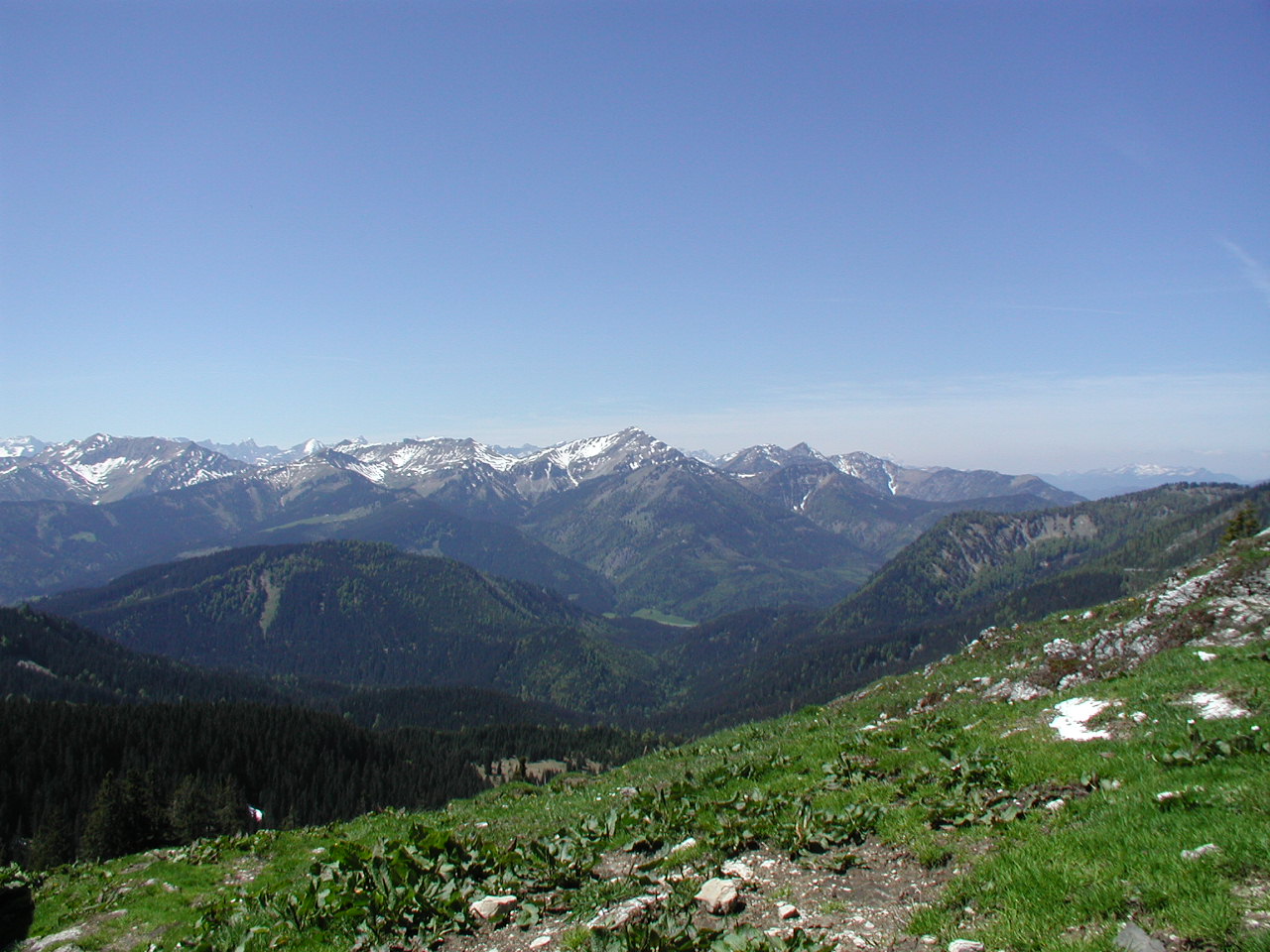
image_caption=View of the northeastern part of the Karwendel (Location: Blue Mountains)
country=Austria| country1=Germany
region=
length=| length_orientation=
width= | width_orientation=
parent=Northern Limestone Alps
highest=Birkkarspitze
highest_elevation=2749
highest_lat_d=47|highest_lat_m=24|highest_lat_s=41|highest_lat_NS=N
highest_long_d=11|highest_long_m=26|highest_long_s=15|highest_long_EW=E

map_caption=The Karwendel is the largest range of the
Northern Limestone Alps . Four chains stretch from west to east; in addition, there are a number of fringe ranges and an extensivepromontory in the north.The term Karwendel describes the part of the
Alps between theIsar and Inn rivers and theAchensee .Hermann von Barth , created the tradition of naming the ranges after the valley limiting them in the south:Karwendel Valley ,Hinterau Valley andVomper Loch ,Gleiersch Valley ,Hall Valley ,Inn Valley :Northern Karwendel Range ,Hinterautal-Vomper Range (a.k.a. main Karwendel Range),Gleiersch-Halltal Range andInn Valley Range (a.k.a. Solstein Range or Northern Range). Side ranges are theErlspitz Group ,Soiern Group andVorkarwendel ,Falken Group ,Gamsjoch Group andSonnjoch Group .Peaks
There are 125 peaks above 2000m in the Karwendel. These are the most important ones:
Alpine Huts
In the Karwendel, among the 21 Alpine Huts 18 are run by the German or
Austrian Alpine Club :External links
* [http://www.karwendel.org/ Alpenpark Karwendel]
* [http://www.mtb-mittenwald.de/english some karwendel mountainbike tours]
* [http://www.wikivoyage.org/de/Karwendel Karwendel travel guide]Wikivoyage
Wikimedia Foundation. 2010.