Onslow, Nova Scotia

Onslow, Nova Scotia
Onslow, Nova Scotia is located in Nova Scotia
{{{alt}}}
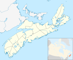
Onslow in Nova Scotia
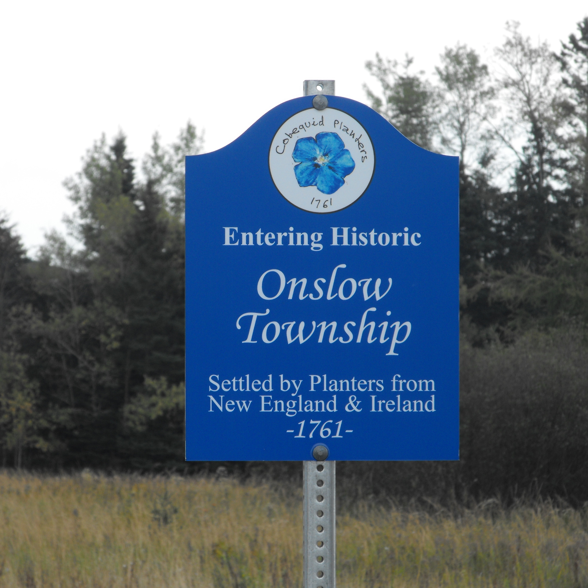
Onslow Township marker

Onslow is a small, unincorporated, Canadian rural community in central Colchester County, Nova Scotia. The community is located along the north bank of the Salmon River, opposite the town of Truro and is largely a farming area. It is situated in a region first settled by Europeans as Onslow Township (1761).

An important highway interchange is located in the community, where Highway 102 terminates at Highway 104.

Onslow is home to Central Colchester Junior High School, operated by the Chignecto-Central Regional School Board. Onslow also contains a small corner store, a John Deere dealership and a volunteer fire department. The area is mostly farmland, but, people live here also and the community is expanding somewhat. In the fall and spring, migrating Canada Geese are attracted to the farmlands and corn fields. Onslow is geographically situated in an area with high winds, making it an excellent location for wind turbines. Some farmers in the area have chosen to erect wind turbines to power their farms.

Nova Scotia Power has a power distrution point in Onslow where it interconnects the Halifax Regional Municipality with Cape Breton, South Shore and New Brunswick Power Transmission System.[1]

References

Coordinates: 45°23′15.1″N 63°18′16.5″W / 45.387528°N 63.304583°W / 45.387528; -63.304583


Wikimedia Foundation. 2010.

Игры ⚽ Нужен реферат?

Look at other dictionaries:

  • Nova Scotia Highway 102 — Highway 102 Veteran s Memorial Highway (entire length) Bicentennial Drive (exit 0 to exit 4) Route information Maintained by Nova Scotia Department of Transportation and Inf …   Wikipedia

  • Nova Scotia Highway 104 — Highway 104 Miners Memorial Highway Trans Cana …   Wikipedia

  • Nova Scotia Trunk 2 — Trunk 2 Route information Maintained by Nova Scotia Department of Transportation and Infrastructure Renewal Major junctions …   Wikipedia

  • Nova Scotia Route 311 — Route 311 Route information Maintained by Nova Scotia Department of Transportation and Infrastructure Renewal Length: 49 km …   Wikipedia

  • Truro, Nova Scotia — Infobox Settlement official name = Truro other name = native name = nickname = settlement type = Town motto = Begun In Faith, Continued In Determination imagesize = image caption = flag size = image seal size = image shield = shield size = city… …   Wikipedia

  • Masstown, Nova Scotia — Masstown (2006 population: 153) is a farming community located approximately 17 kilometers from Truro, Nova Scotia …   Wikipedia

  • Oak Island (Nova Scotia) — Vorlage:Infobox Insel/Wartung/Bild fehlt Oak Island Gewässer Mahone Bay Geographische Lage …   Deutsch Wikipedia

  • 5th General Assembly of Nova Scotia — The 5th General Assembly of Nova Scotia represented Nova Scotia between May 1770 to 1784, its membership being set in the 1770 Nova Scotia general election. The 5th General Assembly is known as Nova Scotia s Long Parliament… …   Wikipedia

  • 18th General Assembly of Nova Scotia — The 18th General Assembly of Nova Scotia represented Nova Scotia between the 1847 and 1851, its membership being set in the August 5th, 1847 Nova Scotia general election. The Assembly sat at the pleasure of the Governor of Nova Scotia, Sir John… …   Wikipedia

  • List of Nova Scotia provincial highways — This is a list of numbered highways in the province of Nova Scotia. Arterial (100 series) highways : See 100 Series Highways * *) * *) *) *) * * * * Highway 102 interchange at Miller Lake * * *Historical Note: Nova Scotia s original arterial… …   Wikipedia

Share the article and excerpts

Direct link
Do a right-click on the link above
and select “Copy Link”