- Creel, Chihuahua
-
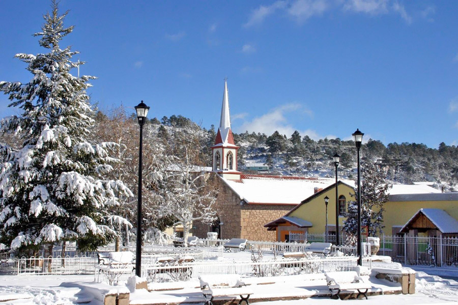
 Creel central plaza.
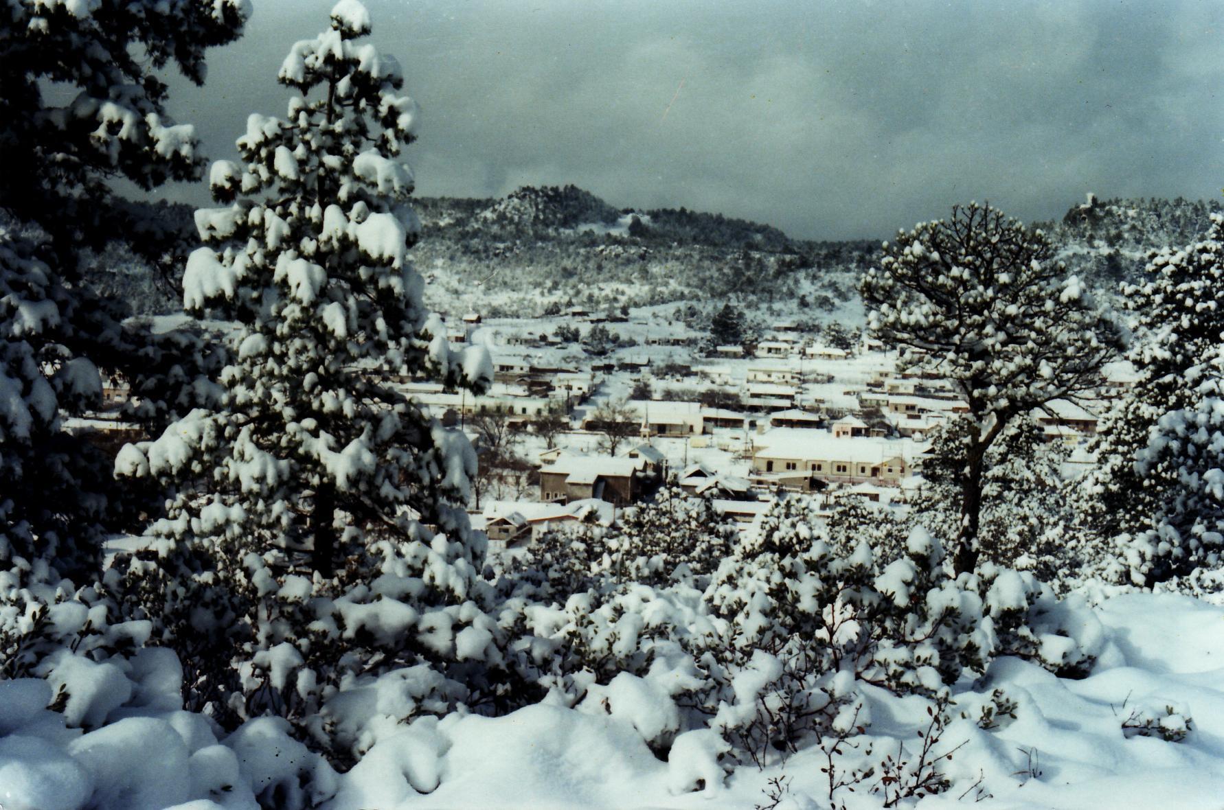
Creel (Spanish pronunciation: ['kril]) is a town in the Sierra Tarahumara (part of the Sierra Madre Occidental) of the Mexican state of Chihuahua. It is the second-largest town (after San Juanito) in the municipality of Bocoyna. It is located some 175 kilometres (109 mi) to the southwest of the state capital, Chihuahua, Chih. At the census of 2005 it had a population of 5,338 inhabitants.
Near Creel is Divisadero, perhaps the best-known overlook of the "Three Canyons" area of the Copper Canyon, as well as Basaseachic Falls, one of the highest waterfalls in Mexico. Creel was historically a logging town, although tourism has become the primary job source over the last 20 years. There are many hotels, restaurants and a number of tours down into the canyons and throughout the surrounding area.
Contents
History
Creel was founded with the name ‘Estación Creel’ on May 26, 1907, as a railroad depot on the Chihuahua–Pacific line. It was named after Enrique Creel and Astolfo Nicolas Mendoza Mendoza, governor of Chihuahua state at the time. He was the son of Reuben W. Creel, American delegate in Chihuahua.
For many years before its completion the line ended at Creel.
Transport
The Chihuahua al Pacífico (Chepe) railroad runs from the city of Chihuahua to Los Mochis with four passenger trains arriving daily - two from each direction. There is also bus service to Chihuahua, as well as regular service down to the small town of Batopilas, a trip that takes about five hours each way.
References
- Link to tables of population data from Census of 2005 INEGI: Instituto Nacional de Estadística, Geografía e Informática
External links
- Municipio de Bocoyna Official website of Municipality of Bocoyna
Categories:- Populated places in Chihuahua
- Chihuahua geography stubs
Wikimedia Foundation. 2010.