- Kayes
Infobox Settlement
name = PAGENAME
official_name =
other_name =
native_name ="Kayi", "Xaayi"
nickname =
settlement_type =
total_type =
motto =
translit_lang1=
translit_lang1_type=Bambara
translit_lang1_info="Kayi"
translit_lang1_type1=Soninké
translit_lang1_info1="Xaayi"
translit_lang1_type2=
translit_lang1_info2=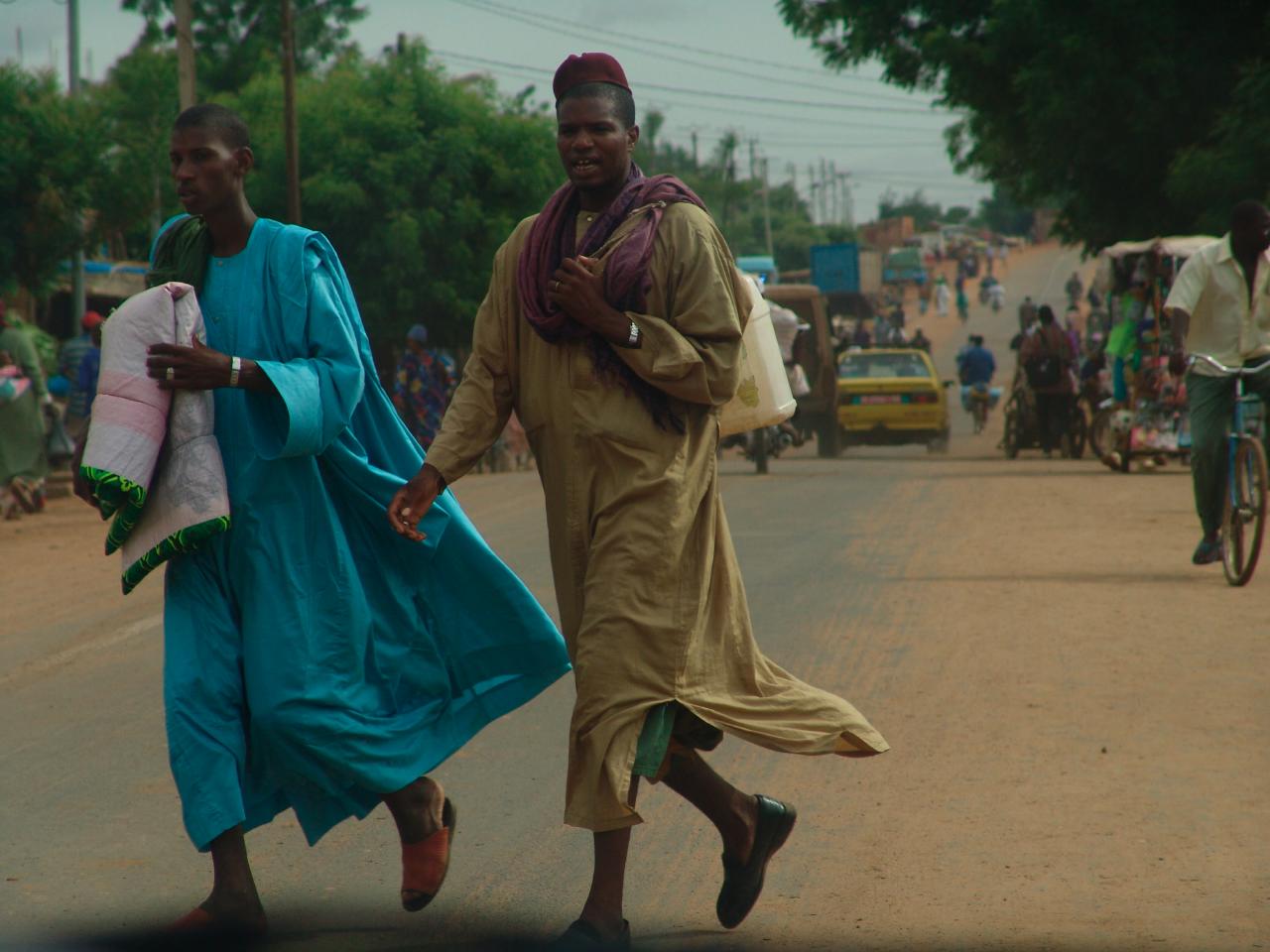
imagesize = 250px
image_caption = Men cross a busy street in Kayes, 2006.
flag_size =
image_
seal_size =
image_shield =
shield_size =
image_blank_emblem =
blank_emblem_type =
blank_emblem_size =
mapsize =
map_caption =
mapsize1 =
map_caption1 =
image_dot_
dot_mapsize =
dot_map_caption =
dot_x = |dot_y =
pushpin_
pushpin_label_position =
pushpin_map_caption =Location withinMali
pushpin_mapsize =
subdivision_type = Country
subdivision_name = MLI
subdivision_type1 = Rgion
subdivision_name1 = Kayes
subdivision_type2 =Cercle
subdivision_name2 = Kayes Cercle
subdivision_type3 =
subdivision_name3 =
subdivision_type4 =
subdivision_name4 =
seat_type =
seat =
parts_type =
parts_style =
parts =
p1 =
p2 =
government_footnotes =
government_type =
leader_title =
leader_name =
leader_title1 =
leader_name1 =
leader_title2 =
leader_name2 =
leader_title3 =
leader_name3 =
leader_title4 =
leader_name4 =
established_title =
established_date =
established_title1 = Town founded
established_date1 = 1880s
established_title2 =
established_date2 =
established_title3 =
established_date3 =
founder =
named_for =
area_magnitude =
unit_pref =
area_footnotes =
area_total_km2 =
area_land_km2 =
area_water_km2 =
area_total_dunam =
area_total_sq_mi =
area_land_sq_mi =
area_water_sq_mi =
area_water_percent =
area_urban_km2 =
area_urban_sq_mi =
area_metro_km2 =
area_metro_sq_mi =
area_blank1_title =
area_blank1_km2 =
area_blank1_sq_mi =
elevation_footnotes =
elevation_m = 20
elevation_ft = 68
elevation_max_m =
elevation_max_ft =
elevation_min_m =
elevation_min_ft =
population_as_of =2006
population_footnotes = [ [http://www.ciaonet.org/atlas/ML/index.html Columbia International Affairs Online] Data Provided by the Economist Intelligence Unit.]
population_note =estimate
population_total =100,583
population_density_km2 =
population_density_sq_mi =
population_metro =
population_density_metro_km2 =
population_density_metro_sq_mi =
population_urban =
population_density_urban_km2 =
population_density_urban_sq_mi =
population_blank1_title =
population_blank1 =
population_density_blank1_km2 =
population_density_blank1_sq_mi =
timezone = GMT
utc_offset = +0
timezone_DST =
utc_offset_DST =
coor_type =
latd=14 |latm=27 |lats= |latNS=N
longd=11 |longm=26 |longs= |longEW=W
postal_code_type =
postal_code =
area_code =
twin1 =
twin1_country =
twin2 =
twin2_country =
twin3 =
twin3_country =
twin4 =
twin4_country =
twin5 =
twin5_country =
twin6 =
twin6_country =
twin7 =
twin7_country =
blank_name =
blank_info =
blank1_name =
blank1_info =
blank2_name =
blank2_info =
blank3_name =
blank3_info =
blank4_name =
blank4_info =
blank5_name =
blank5_info =
blank6_name =
blank6_info =
website =
footnotes = Kayes (Bambara "Kayi", Soninké "Xaayi") is a city in westernMali on theRiver Senegal , holding roughly 100,000 people. Kayes is the capital of the administrative region of the same name. The name "Kayes" comes from theSoninké word "karré," which describes a low humid place that floods in rainy season. The city is located convert|317|mi|km|lk=on north-west of the capitalBamako .Climate
Kayes is nicknamed the "pressure cooker of Africa" due to its extreme heat; the town is surrounded by iron-rich mountains which contribute to the temperature. Kayes is often described as the hottest continuously-inhabitated town in
Africa . The average daily high temperature in the city is 35°C (95°F), with temperatures usually peaking in April and May at an average 46°C (115°F).History
Prior to French colonial expansion, Kayes was a small village. It's location on the path of the future
Dakar-Niger Railway , and the French need for trade centers, led to the creation of the Kayes market town in 1881. It remains a transport hub, primarially for Senegalese trade, to this day. In 1892, Kayes became the capital of theFrench Sudan ; Bamako replaced it as the capital first of the state ofHaut Sénégal-Niger onOctober 17 ,1899 , then as the capital of all of French Sudan in 1908.Economy and transport
The town has an international
airport (Kayes Airport ), and lies on theDakar-Niger Railway , in an area rich ingold andiron .Area
Different sites found in and around Kayes include:
*Fort du Médine
*the falls of Félou convert|4|km|mi|0
*the falls of Goulina, convert|100|km to the southeast on the Senegal river
*the tata (fortification ) of Koniakari, constructed byEl Hadj Umar Tall , convert|70|km to the northeast
*Lake Magui and Lake Doro
*theManantali Dam References
* Portions of this article are a translation of French language Wikipedia's Kayes.
* [http://www.fallingrain.com/world/ML/0/Kayes.html FallingRain Map - elevation = 20m (Red dots are railways)] .
* [http://courses.wcupa.edu/jones/his311/archives/helpers/geog-pic.htm Colonial history of Kayes] , from Web Site of Dr. Jim Jones, African History Since 1875theWest Chester University Department of History.
* [http://www.travelblog.org/Africa/Mali/blog-2502.html View of Senegal River Bridge at Kayes] : Kidira Border Crossing into Mali, December 16th 2004 by NKOverland.

Wikimedia Foundation. 2010.