- Baranoa
Infobox City
official_name = Baranoa
nickname =
motto =
imagesize =
image_caption =
imagesize =
image_caption =
image_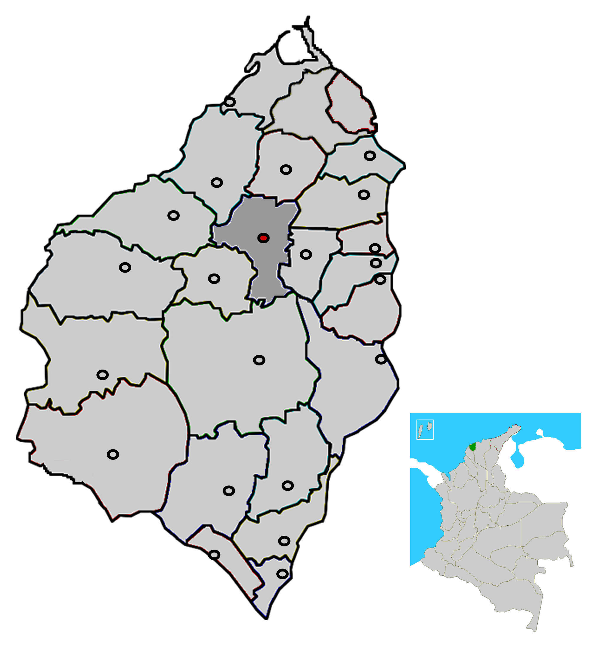
mapsize = 200px
map_caption = Location of the municipality and town of Baranoa in the Department of Atlántico.
subdivision_type =Country
subdivision_type1 = Region
subdivision_type2 = Department
subdivision_name = flag|Colombia
subdivision_name1 = Caribbean
subdivision_name2 = Atlántico
leader_title =Mayor
leader_name =Climaco Rafael Estrada Perez (Indigenous Social Alliance Movement ) [ [http://www.registraduria.gov.co/reselec2007_esc/1028/x.html es icon National Registry of the Civil State: 2007 regional election results] ]
established_title = Foundation
established_date =1543
area_magnitude =
area_total_sq_mi =
area_total_km2 =
area_land_sq_mi =
area_land_km2 =
area_water_sq_mi =
area_water_km2 =
area_water_percent =
area_urban_sq_mi =
area_urban_km2 =
area_metro_sq_mi =
area_metro_km2 =
population_as_of =2005
population_note = [ [http://www.dane.gov.co/files/censo2005/regiones/atlantico/baranoa.pdf es icon DANE 2005 Census: Baranoa] ]
population_total = 50261
population_metro =
population_urban =
population_density_km2 =
population_density_sq_mi =
timezone =
utc_offset = -5
timezone_DST =
utc_offset_DST =
latd= |latm= |lats= |latNS=
longd= |longm= |longs= |longEW=
elevation_m =
elevation_ft =
website =
[http://www.baranoa-atlantico.gov.co www.baranoa-atlantico.gov.co]
footnotes =Baranoa is a municipality and town in the
Colombian department of Atlántico, located 22 km south ofBarranquilla . The municipality occupies an area of 127 km^2, including rural, urban, suburban and protected land. Baranoa has 55.178 inhabitants (2006 Census), 82,63% of these are concentrated in the urban town and 17,37% in rural areas.Geography
The municipality of Baranoa, is irrigated by several creeks including Santa Rosa, Campecha, Big creek and Deep creek.
History
Baranoa was an indigenous settlement located close to the Big Creek (Arroyo Grande) when the spanish conquers under the commandament of Don
Pedro de Heredia discover it in1534 .In October
1543 , it was commended by the Spanish Crown to Hernando Dávila. Further commendements were given to Inés de Mendoza (1556 ), Hernando De la Salas (1568 ) and José De las Salas (1609 ). The ViceroySebastian de Eslava order a reformation of the town between1744 and1745 . As a consequence, 39 spanish families made their home in Baranoa, creating the Parish of Santa Ana of Baranoa.In
October 23 ,1856 , it was created the municipality of Baranoa, based on the number of inhabitants the parish had, and its level of development. The municipality category, as well as its boundaries, was ratified inDecember 16 ,1964 .Economy
Economic activities are focused on cattle raising, corn, cassava, cotton and plum farming. There is a Plum Festival, famous in northern Colombia. There are mining sites for calcite, and iron minerals.
Notes
References
*es icon [http://alcaldiadebaranoa.gov.co/documentos/nuestro_alcalde.htm Baranoa official website]
*es icon [http://www.baranoa-atlantico.gov.co Municipality of Baranoa, website]
Wikimedia Foundation. 2010.