- Tlell, British Columbia
Infobox Settlement
official_name = Hamlet of Tlell
other_name =
native_name =
nickname =
settlement_type = Hamlet
motto =
imagesize =
image_caption =
flag_size =
image_
seal_size =
image_shield =
shield_size =
city_logo =
citylogo_size =
mapsize =
map_caption =
mapsize1 =
map_caption1 =
image_dot_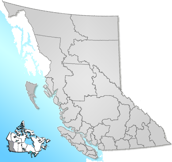
dot_mapsize = 220px
dot_map_caption = Location of Tlell inBritish Columbia
dot_x = 40 |dot_y = 111
pushpin_
pushpin_label_position =
pushpin_map_caption =
pushpin_mapsize =
subdivision_type = Country
subdivision_name = CAN
subdivision_type1 = Province
subdivision_name1 = BC
subdivision_type2 = Region
subdivision_name2 =Queen Charlotte Islands
subdivision_type3 = Regional district
subdivision_name3 = Skeena-Queen Charlotte
subdivision_type4 =
subdivision_name4 =
government_footnotes =
government_type =
leader_title = Governing body
leader_name = Skeena-Queen Charlotte board
leader_title1 =
leader_name1 =
leader_title2 =
leader_name2 =
leader_title3 =
leader_name3 =
leader_title4 =
leader_name4 =
established_title = Founded
established_date = 1904
established_title2 =
established_date2 =
established_title3 =
established_date3 =
area_magnitude =
unit_pref =
area_footnotes =
area_total_km2 = 101.28
area_land_km2 =
area_water_km2 =
area_total_sq_mi =
area_land_sq_mi =
area_water_sq_mi =
area_water_percent =
area_urban_km2 =
area_urban_sq_mi =
area_metro_km2 =
area_metro_sq_mi =
area_blank1_title =
area_blank1_km2 =
area_blank1_sq_mi =
population_as_of = 2001
population_footnotes = [Government of British Columbia (2001). [http://www.bcstats.gov.bc.ca/data/cen01/dpl2001.asp Census statistics] ]
population_note =
population_total = 223
population_density_km2 =
population_density_sq_mi =
population_metro =
population_density_metro_km2 =
population_density_metro_sq_mi =
population_urban =
population_density_urban_km2 =
population_density_urban_sq_mi =
population_blank1_title =
population_blank1 =
population_density_blank1_km2 =
population_density_blank1_sq_mi =
timezone = PST
utc_offset = -8
timezone_DST =
utc_offset_DST =
latd= 53|latm= 34|lats= 50|latNS=N
longd= 131|longm= 56|longs= 27|longEW=W
elevation_footnotes =
elevation_m = 5
elevation_ft =
postal_code_type = Postal code span
postal_code = V0T 1Y0
area_code =
blank_name = Highways
blank_info = 16
blank1_name = Waterways
blank1_info =Hecate Strait
website =
footnotes = Tlell is a small,unincorporated place on the east coast ofGraham Island , which is part of theQueen Charlotte Islands inBritish Columbia ,Canada .Besides
Mexican Tom , who set up camp at Tlell in 1904, Eric Richardson was one of, if not the first to make this camp a permanent settlement by establishing the Richardson Ranch, which is still active and on the spot. [ [http://www.niho.com/tools/Tlell.asp Towns of BC -> Village of Tlell] ]
Tlell was connected toPort Clements andSkidegate (43 km) via a paved Highway 16 in 1969.The village frames the southern end of
Naikoon Provincial Park , known especially for the Pesuta Shipwreck in close proximity and its long stretches of sandy beach. Other tourist attractions include the Tlell River and Mayer Lake, halfway between Tlell and Port Clements, both hosting lots of salmon in fall.Services offered comprise amongst others some Bed and Breakfast, a general store, several arts and crafts galleries, the Naikoon Park headquarters and a camp site.Some 607 people reside in the greater periphery, additionally encompassing other small communities like
Tow Hill ,Lawn Hill and Miller Creek [ [http://www.for.gov.bc.ca/dqc/info.htm Queen Charlotte Forest District -> The Communities] ] .Once every July, the
Edge of the World Music Festival [http://www.edgefestival.com/] takes place near Tlell, as well as the Tlell Fall Fair in August, both attract many visitors from off the islands.Apart from this there is little municipal infrastructure and no such thing as a town center or a harbour. Tlell is rather a scattered cluster of separate homes, many of them occupied by artisans living alternative lifestyles.References
Wikimedia Foundation. 2010.