- Šahy
Geobox|Settlement
name = Šahy
other_name = Ipolyság
category = Town
etymology =
official_name =
motto =
nickname =
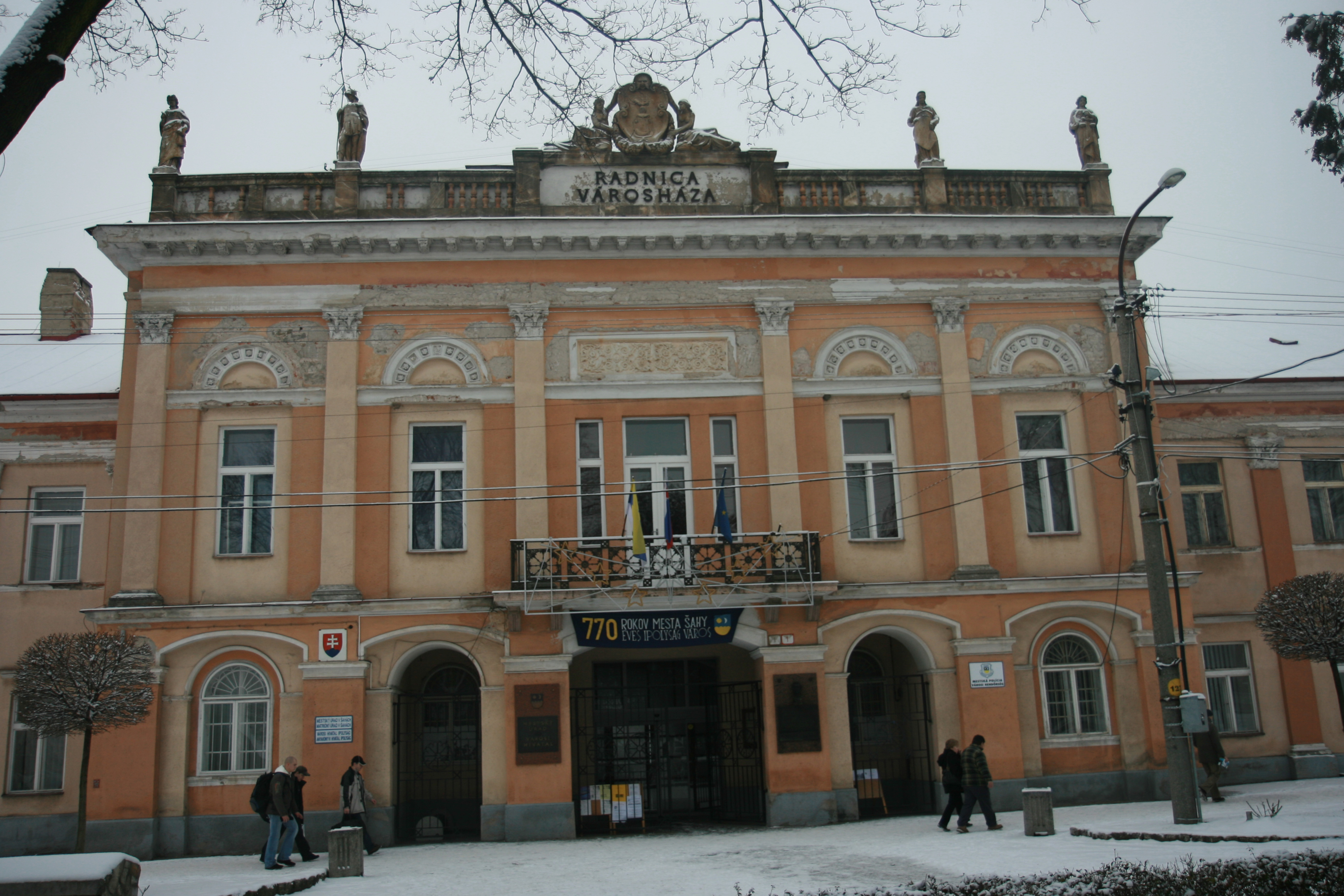
image_caption = Guildhall
symbol = sahyarms.gif
symbol_type =
country = Slovakia
country_
state =
region = Nitra
district = Levice
municipality =
parent = Poiplie
parent_type = Tourism region
river = Ipeľ
location =
elevation = 136
prominence =
lat_d =48 | lat_m =03 | lat_s =55 | lat_NS =N
long_d =18 | long_m =57 | long_s =05 | long_EW =E
highest =
highest_location = | highest_region = | highest_state =
highest_elevation =
highest_lat_d = | highest_lat_m = | highest_lat_s = | highest_lat_NS =
highest_long_d = | highest_long_m = | highest_long_s = | highest_long_EW =
lowest =
lowest_location = | lowest_region = | lowest_state =
lowest_elevation =
lowest_lat_d = | lowest_lat_m = | lowest_lat_s = | lowest_lat_NS =
lowest_long_d = | lowest_long_m = | lowest_long_s = | lowest_long_EW =
length = | length_orientation =
width = | width_orientation =
area = 42.727
area_land =
area_water =
area_urban =
area_metro =
population =7973 | population_date = 31 December 2005
population_urban =
population_metro =
population_density = auto
population_density_urban =
population_density_metro =
established = 1237
established_type = First mentioned
date =
government =
government_location = | government_region = | government_state =
government_elevation =
government_lat_d = | government_lat_m = | government_lat_s = | government_lat_NS =
government_long_d = | government_long_m = | government_long_s = | government_long_EW =
mayor = Ján Lőwy
leader =
timezone =
map_caption = Location of Šahy in Slovakia
map_background = Slovakia - background map.png
map1 =Nitra Region - outline map.svg
map1_caption = Location of Šahy in the Nitra Region
map1_background = Nitra Region - background map.png
commons = Šahy
statistics = [http://www.statistics.sk/mosmis/eng/prvav2.jsp?txtUroven420402&lstObec502782&Okruhzaklad MOŠ/MIS]
website = http://www.sahy.sk
footnotes =Šahy (until 1927 "Ipolské Šiahy", _hu. Ipolyság, rarely _de. Eipelschlag) is a town in southern
Slovakia , The town has an ethnic Hungarian majority and its population is 7,971 people (2005 ), with an average age of 42.5.Geography
It is located at the eastern reaches of the
Danubian Lowland on the riverIpeľ at the Hungarian border, on the E77 road fromBudapest toKraków . Besides the main settlement, it also has two "boroughs" of Preseľany nad Ipľom (4 km west of centre, annexed 1980) and Tešmák (3 km east of centre, annexed 1986). From 1980 to 1996 it also had now independent village ofHrkovce .History
The first written mention is from 1237 in a document of King Béla IV under name "Saag". It got character of a small town in the 14th century. Before break-up of
Austria-Hungary in 1918/1920 and incorporation intoCzechoslovakia , it was part of theHont county, and was from 1806 its capital. It was part of Hungary from 1938 to 1945 as a result of theFirst Vienna Award .Demographics
According to the 2001
census , the town had 8,061 inhabitants. 62.21% of inhabitants wereHungarians , 34.57%Slovaks , 0.56% Czech and 0.41 Roma.cite web | title = Municipal Statistics | publisher = Statistical Office of the Slovak republic | url = http://www.statistics.sk/mosmis/eng/run.html | accessdate = 2007-12-26] The religious makeup was 84.06%Roman Catholics , 6.87% people with no religious affiliation, and 3.46%Lutherans .Famous people
*
Ferdinand Daučík , football player and managerReferences
External links
* [http://eng.sahy.sk/ The official website of Šahy]
* [http://www.tourist-channel.sk/sahy/indexen.php3 Tourist-channel.sk]


Wikimedia Foundation. 2010.