- Walwa, Victoria
Infobox Australian Place | type = town
name = Walwa
state = vic
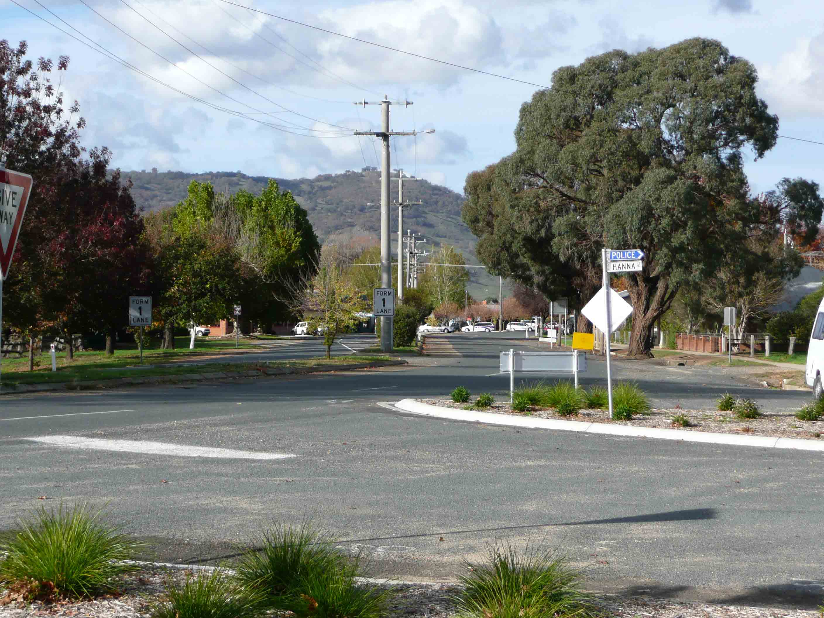
caption = Main street
lga = Shire of Towong
postcode = 3709
est =
pop = 268
elevation=
maxtemp =
mintemp =
rainfall =
stategov = Benambra
fedgov = Indi
dist1 = 432
dir1 = NE
location1=Melbourne
dist2 = 112
dir2 = E
location2= Wodonga
dist3 = 48
dir3 = NW
location3= Corryong
dist4 = 8
dir4 = SE
location4= JingellicWalwa is a small town in Shire of Towong in the state of Victoria Australia. The town is located in North East Victoria on the
Murray River . The town is located 1km from theMurray River on the former Murray Valley highway betweenWodonga andCorryong . At the 2006 census, Walwa and the surrounding area had a population of 268.Census 2006 AUS
id=SSC26911
name=Walwa (State Suburb)
accessdate=2007-08-15
quick=on]Across the river on the New South Wales side are the nearby towns of Jingellic and Tumbarumba.
History
A Post Office first opened on 1 March 1861 and closed in 1865. A Post Office again opened on 1 December 1885, although known as Walwa Creek from 1886 until 1905. Citation
last = Premier Postal History | title = Post Office List | url = https://www.premierpostal.com/cgi-bin/wsProd.sh/Viewpocdwrapper.p?SortBy=VIC&country= | accessdate = 2008-04-11 ]Attractions
Pine Mountain a few kilometres out of Walwa, located in the
Burrowa-Pine Mountain National Park is the largest monolith in the southern hemisphere at 1.5 times the size ofUluru (Ayres Rock).Walwa includes a Medical Centre, Walwa Pub,Upper Murray Holiday Resort, Walwa Golf Course, Riverside Caravan Park, Tennis Courts & Local Football/Netball Club (The town has an
Australian Rules football team competing in theUpper Murray Football League known as Border Walwa Magpies), Walwa Primary School, Jemba Rock Crafts & Gifts + B&B, Country Tractor Service, Veterinary Clinic, Panel Beaters, Radio station (Radio Upper Murray RUM).References
External links
* [http://walwa.com/ Town of Walwa's website]
* [http://www.towong.vic.gov.au/Page/Page.asp?Page_Id=118&h=1 Towong Shire Council]
* [http://www.walwaps.vic.edu.au/ Walwa Primary School]Gallery
Wikimedia Foundation. 2010.