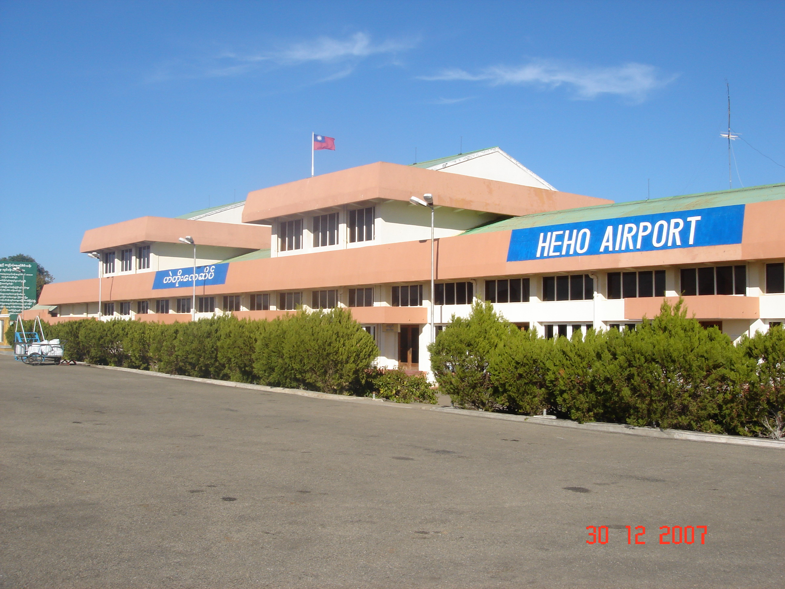
- Heho Airport
Infobox Airport
name = Heho Airport
nativename =
nativename-a =
nativename-r =

image-width =
caption =
IATA = HEH
ICAO = VYHH
type =
owner =
operator =
city-served =
location =Heho ,Kalaw Township ,Taunggyi District ,Shan State ,Myanmar
elevation-f = 3858
elevation-m = 1176
coordinates =
website =
metric-elev =
metric-rwy =
r1-number = 18/36
r1-length-f = 8500
r1-length-m = 2591
r1-surface = Asphalt
stat-year =
stat1-header =
stat1-data =
footnotes =Heho Airport is an airport in
Heho ,Kalaw Township ,Taunggyi District ,Shan State ,Myanmar airport codes|HEH|VYHH.The original airport had a runway length of 5500 feet. It was recently expanded to accommodate jet aircraft. It now has one paved runway: 18/36 8400x100ft.
The airport served as an airbase both for the Allies and the Japanese during World War II. The airbase was heavily bombed by the Allies. Evidence of aircraft bunker
revetment s and bomb craters can still be seen on the southern end of the airfield, especially noticeable from the air.Airlines and destinations
*
Air Bagan (Mandalay, Thandwe, Yangon)
*Air Mandalay (Mandalay, Nyaung-u, Thandwe, Yangon)
*Myanma Airways (Kengtung, Lashio, Mong Hsat, Nyaung-u, Tachilek, Yangon)
*Yangon Airways (Mandalay, Thandwe, Yangon)References
* [http://www.farecompare.com/flights/Heho-HEH/city.html Heho Destinations]
*WAD|VYHH
Wikimedia Foundation. 2010.
