Row houses (Sycamore, Illinois)
- Row houses (Sycamore, Illinois)
Infobox nrhp
name = Row Houses
nrhp_type =cp
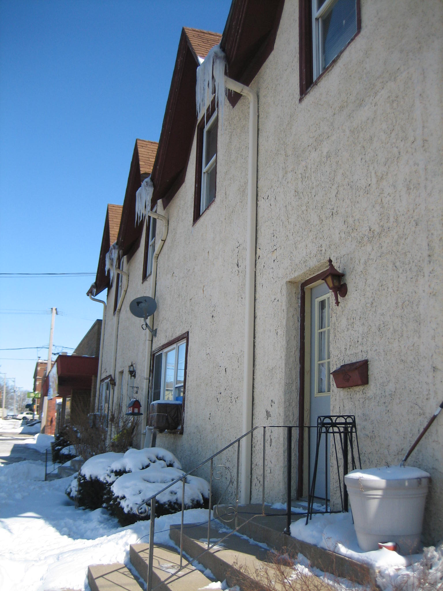
caption = The Sycamore, Illinois Row Houses consist of four units.
location = Sycamore, DeKalb County, Illinois, USA
nearest_city =
lat_degrees = 41
lat_minutes = 59
lat_seconds = 2
lat_direction = N
long_degrees = 88
long_minutes = 41
long_seconds = 39
long_direction = W
area = Sycamore Historic District
built =
architect =
architecture = Terraced house
added = May 2, 1978 [ [http://www.nr.nps.gov/nrloc1.htm NRIS Database] , National Register of Historic Places. Retrieved 17 February 2007.] As part of the Sycamore Historic District.
visitation_num =
visitation_year =
refnum = 78003104
mpsub =
governing_body = Private Ownership
The Row Houses in Sycamore, Illinois are a small collection of historic terraced homes near the city's downtown. The building is considered by the National Register of Historic Places to be a contributing structure to the overall historic nature of the Sycamore Historic District. The district was added to the Register in May 1978. The buildings stand on the corner of Elm and California Streets in Sycamore.
References
Wikimedia Foundation.
2010.
Look at other dictionaries:
List of properties (Sycamore Historic District) — The propeties on this List of contributing properties (Sycamore Historic District) are part of the National Register of Historic Places. They joined the Register when the Sycamore Historic District, in Sycamore, Illinois, was designated in… … Wikipedia
Nevada Township, Livingston County, Illinois — Nevada Township Township Location in Livingston County … Wikipedia
Western use of the Swastika in the early 20th century — adopted the symbol in the 1920s, it continued in use in Western countries with its original meaning until the Nazi association became dominant in the 1930s. The term swastika is first attested in English in 1871, and first refers to the Nazi… … Wikipedia
United States — a republic in the N Western Hemisphere comprising 48 conterminous states, the District of Columbia, and Alaska in North America, and Hawaii in the N Pacific. 267,954,767; conterminous United States, 3,022,387 sq. mi. (7,827,982 sq. km); with… … Universalium
National Register of Historic Places listings in Worcester, Massachusetts — This is a list of properties and historic districts on the National Register of Historic Places in Worcester, Massachusetts. Map of all coordinates from Google Map of all coordinates from Bing … Wikipedia
National Register of Historic Places listings in Hartford, Connecticut — Location of Hartford in Connecticut This is a list of the National Register of Historic Places listings in Hartford, Connecticut. This is intended to be a complete list of the properties and districts on the National Register of Historic Places… … Wikipedia
Terre Haute, Indiana — Infobox Settlement official name = City of Terre Haute, Indiana slogan = A Level Above settlement type = City nickname = imagesize = 250px image caption = Downtown Terre Haute, looking southwest image image mapsize = 250x200px map caption =… … Wikipedia