- Indigirka River
Infobox River
river_name = Indigirka River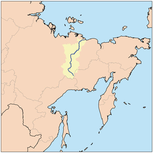
caption =
origin =
mouth =East Siberian Sea
basin_countries =Russia
length = 1,726 km
elevation =
discharge = 1,810 m3/s
watershed = 360,400 km²Indigirka River ( _ru. Индиги́рка) is a
river in theSakha Republic inRussia . It is 1,726 km in length. Thearea of its basin is 360,000 km². The river flows into theKolyma Bay ,East Siberian Sea . Tributaries: Kuydusun, Kyuente, Elgi, Nera, Moma, Badyarikha, Seleniyakh, Uyandina. It freezes up in October and stays under the ice until May-June. Main ports:Khonuu , Druzhina,Chokurdakh , Tabor. There is agold prospecting industry in the Indigirka basin.The Indigirka River teems with different kinds of
fish , such as ryapushka, chir,muksun , white salmon (nelma),omul ,sig etc.History
The isolated village of
Russkoye Ustye , near the mouths of the Indigirka, is known for the unique traditional culture of the Russian settlers whose ancestors came there several centuries ago.In 1892-1894
Baron Eduard Von Toll carried out geological surveys in the basin of the Indigirka (among other Far-eastern Siberian rivers) on behalf of the Russian Academy of Sciences. During one year and two days the expedition covered 25,000 km, of which 4,200 km were up rivers, carrying out geodesic surveys en route.Mouths of the Indigirka
About 100 km before reaching the East Siberian Sea, the Indigirka branches into two northeast-flowing streams. The left one is Prot. Russko Ust'inskaya and the one to the right Prot. Srednyaya. At their mouths lie several flat islands (from east to west):
* Usun-Ary coord|71.387|N|151.255|E lies longitudinally along the coast east of the Srednyaya mouth. It is 12 km long and 2.7 km wide.
* Uparovskiy Island coord|71.582|N|151.196|E lies completely detached 11 km offshore from the Srednyaya mouth. It is about 2 km long and 1 km wide.
* Ploskiy Island coord|71.480|N|150.890|E is the farthest offshore of a cluster of islands at the Srednyaya mouth. It is C-shaped and about 3 km long.
* Bolshoy Fedorovskiy coord|71.533|N|150.510|E lies between the two mouths of the Indigirka. It is 6 km long and has a maximum width of 4 km.
* Vkodnoy and Oleniy islands lie right at the Prot. Russko Ust'inskaya mouth coord|71.546|N|150.266|E. Both are of similar size, about 4 km in length.
* Krestovyy Island coord|71.447|N|149.766|E lies quiet isolated directly to the south of theLopatka Peninsula , 10 km offshore to the NW of the main Indigirka mouths. It is 6 km long and 1.6 km wide.References
* [http://worldmaps.web.infoseek.co.jp/russia_guide.htm Location of islands]
* William Barr, Baron Eduard Von Toll's Last Expedition. Arctic, Sept 1980.
Wikimedia Foundation. 2010.